Loker and the Hills of Heuvelland
Loker
A varied loop through Heuvelland, passing the Douve Valley, Mont Noir and Rodeberg on mostly unpaved paths.
The walk
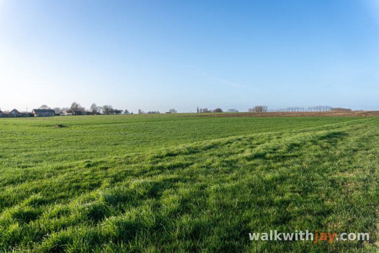
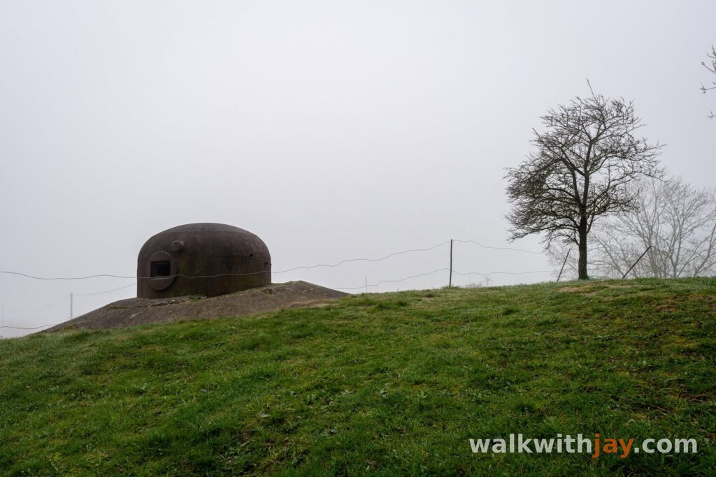
This 11.9-kilometre loop starts in Loker and explores one of the most varied walking areas in Heuvelland. Via Eeuwenhout and the Douve Valley, the route reaches the French border and Mont Noir before returning by way of Rodeberg. Most of the walk follows unpaved paths and combines woodland, valleys, vineyards, small chapels and occasional traces of the region’s wartime past.
From Loker into Eeuwenhout
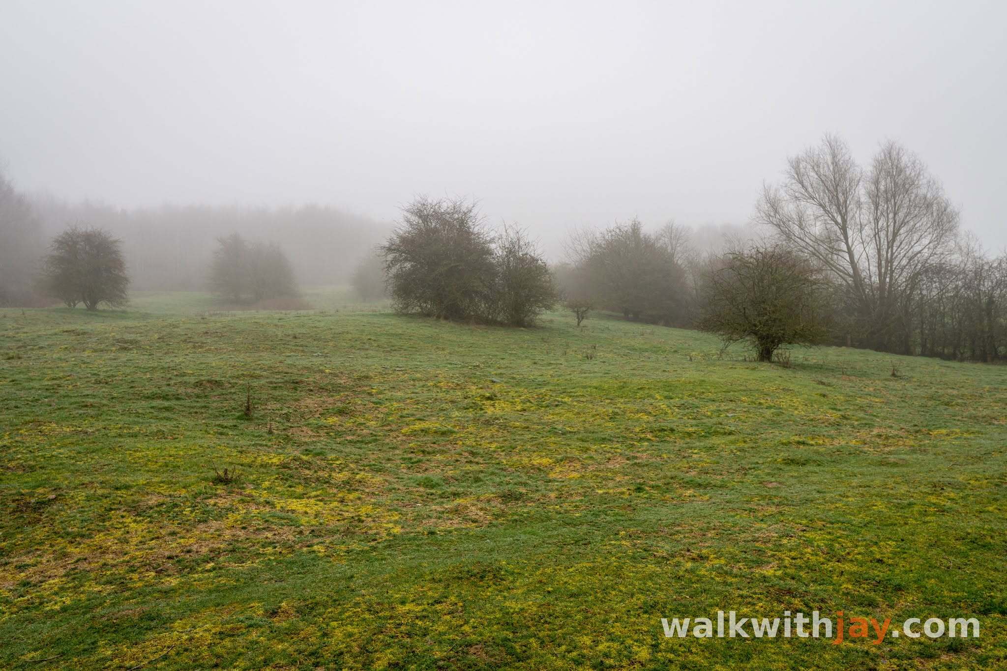
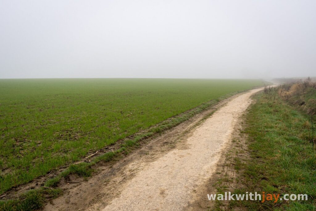
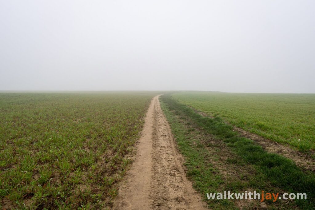
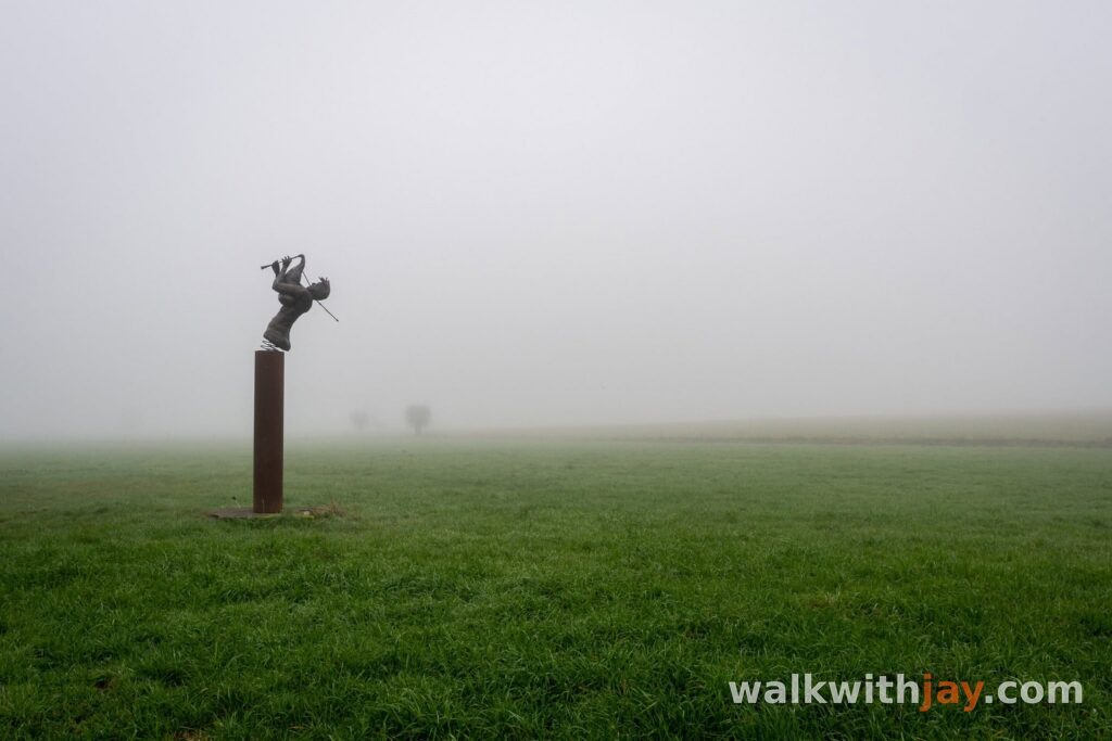
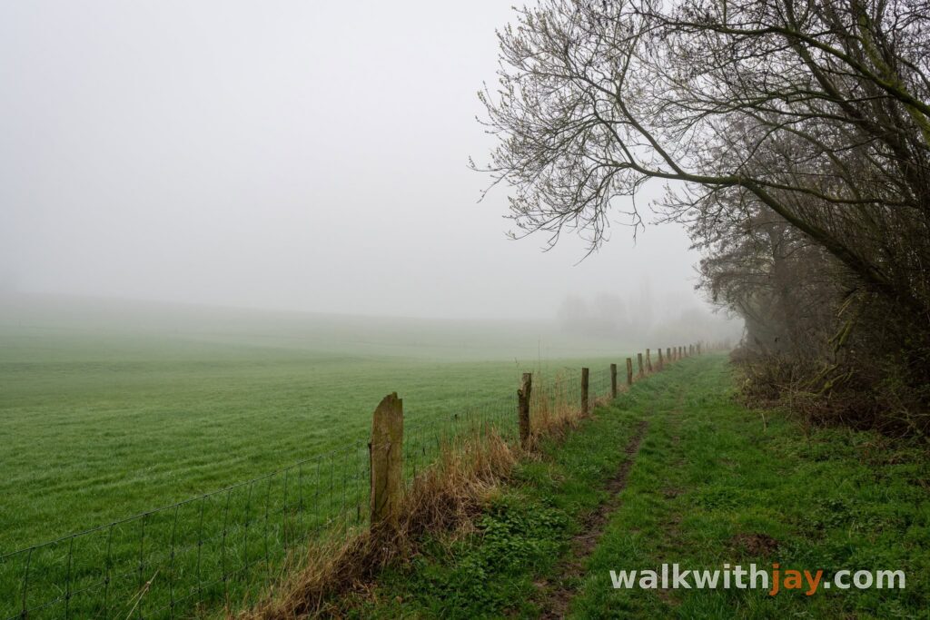
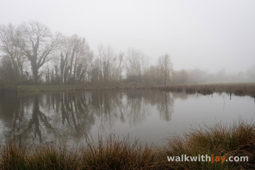
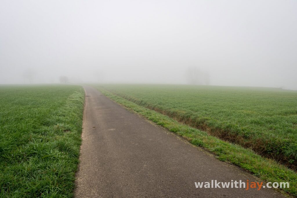
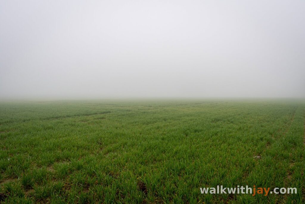
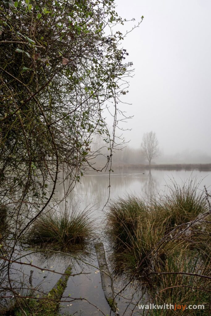
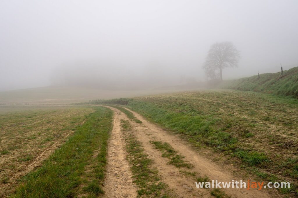
I started in Loker on a misty morning, the kind of weather that gives Heuvelland a very different atmosphere. Fog often lingers in the valleys, gradually revealing the landscape as you walk. Wide views temporarily disappear, while smaller details close to the path become much more noticeable.
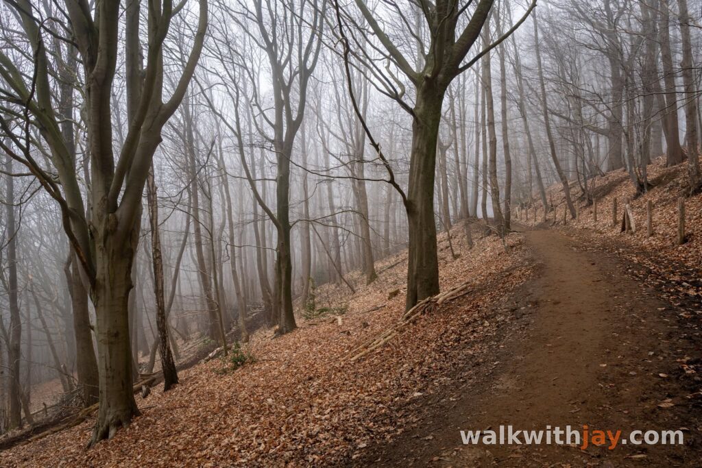
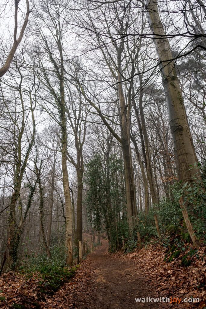
From Loker, the route follows the walking junction network towards Dranouter. Before reaching the village, it turns into Eeuwenhout. The character of the walk changes quickly here, as roads give way to quieter, greener and mostly unpaved paths.
The woodland provides a natural transition into the Douve Valley, where the route continues through the rolling landscape of Heuvelland.
Through the Douve Valley to Mont Noir
The Douve Valley is one of the most enjoyable parts of the loop. The route follows quiet, unpaved paths through a green landscape with gentle climbs and descents, and the surroundings seem to change constantly as you move through the valley.
The walk then crosses the border towards Mont Noir. The boundary between Belgium and France is barely visible in the landscape, but it adds an extra dimension to the route: within a short distance, you move from Belgian Flanders into French Flanders while the scenery continues almost seamlessly.
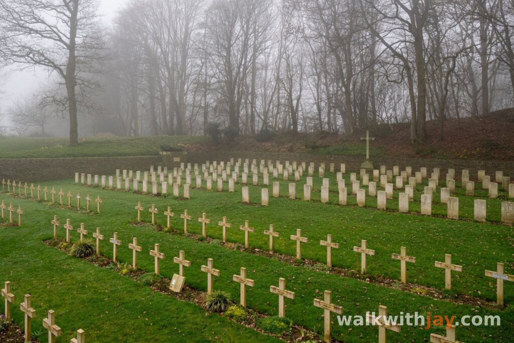
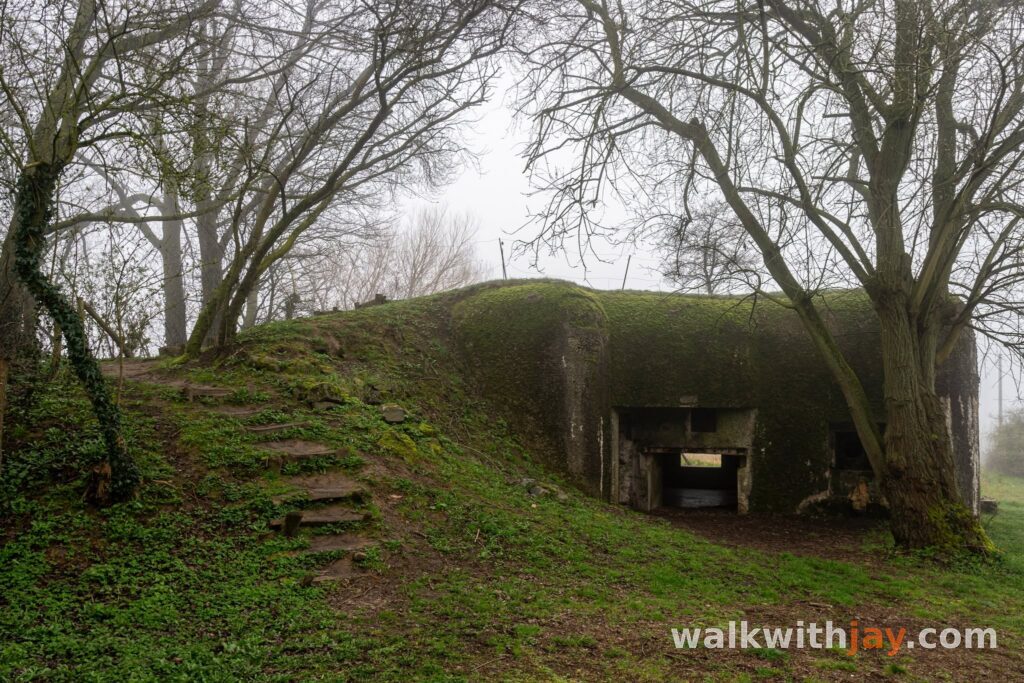
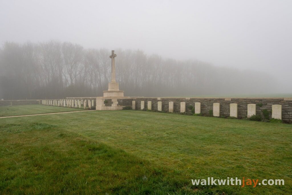
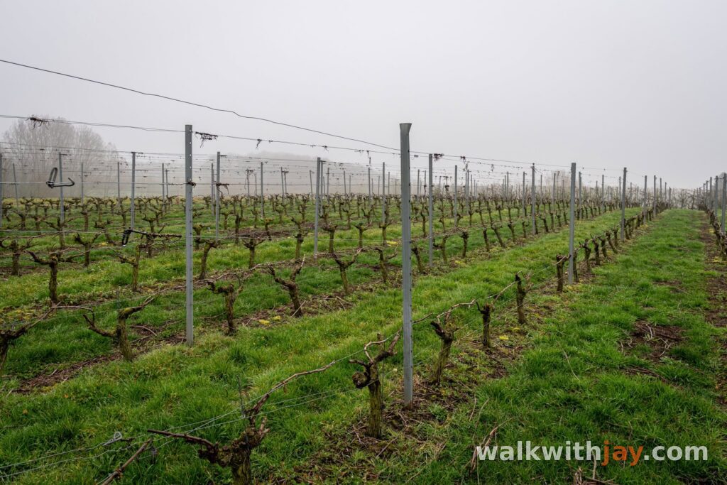
Along the way, the route passes vineyards, small chapels and military cemeteries. They are scattered rather than concentrated in one area, adding regular points of interest without taking attention away from the landscape itself.
Returning via Rodeberg
From Mont Noir, the route turns back towards Loker via Rodeberg. The walk remains varied here, with plenty of unpaved paths, quiet stretches and the characteristic slopes of Heuvelland.
There are several places along the way where you can stop for a break, as well as a few options for food and drink. That makes it easy to take your time on a loop of almost 12 kilometres.
After Rodeberg, the route gradually returns to Loker. The mix of woodland, valleys, border landscapes, vineyards and rolling terrain keeps the walk varied from start to finish.
Photos from this walk






Jay’s tips
This route is particularly atmospheric in mist or low cloud. The valleys around Loker and the Douve often hold onto the fog a little longer, making the landscape change constantly as you walk.
Good to know
Muddy after rain
Church
Military heritage
Cemetery
War cemetery
There are several places to stop and rest along the route, as well as a few food and drink options. For a walk of almost 12 kilometres, it is still worth carrying your own water.
My experience
For me, this route captures much of what makes Heuvelland such a good walking area. There is no single major sight dominating the whole route. Instead, the appeal comes from the constant variation between woodland, valleys, slopes, vineyards and small historical details.
The mist naturally made my walk more atmospheric, but the route would still work very well in clear weather. I especially enjoyed the sections through Eeuwenhout and the Douve Valley, where the walk feels noticeably quieter and more removed from the busier roads and villages.
At 11.9 kilometres, with many unpaved paths and some climbing and descending, this is more than a short stroll. For anyone who enjoys combining nature, varied terrain and a little history, it makes for a very rewarding walk.
Walking nodes
Ready to set off?
Open the starting point in your GPS and enjoy the walk.