Battlefieldroute Wijtschate
Wijtschate
 4 min read
A varied loop through woodland and open fields around Wijtschate, passing mine shafts, craters and other traces of the First World War.
The walk
This 15.1-kilometre circular walk starts at De Kroonaard in Wijtschate. It follows the numbered walking junctions through Kampagnebos and Sint-Elooi towards the edge of the Palingbeek.
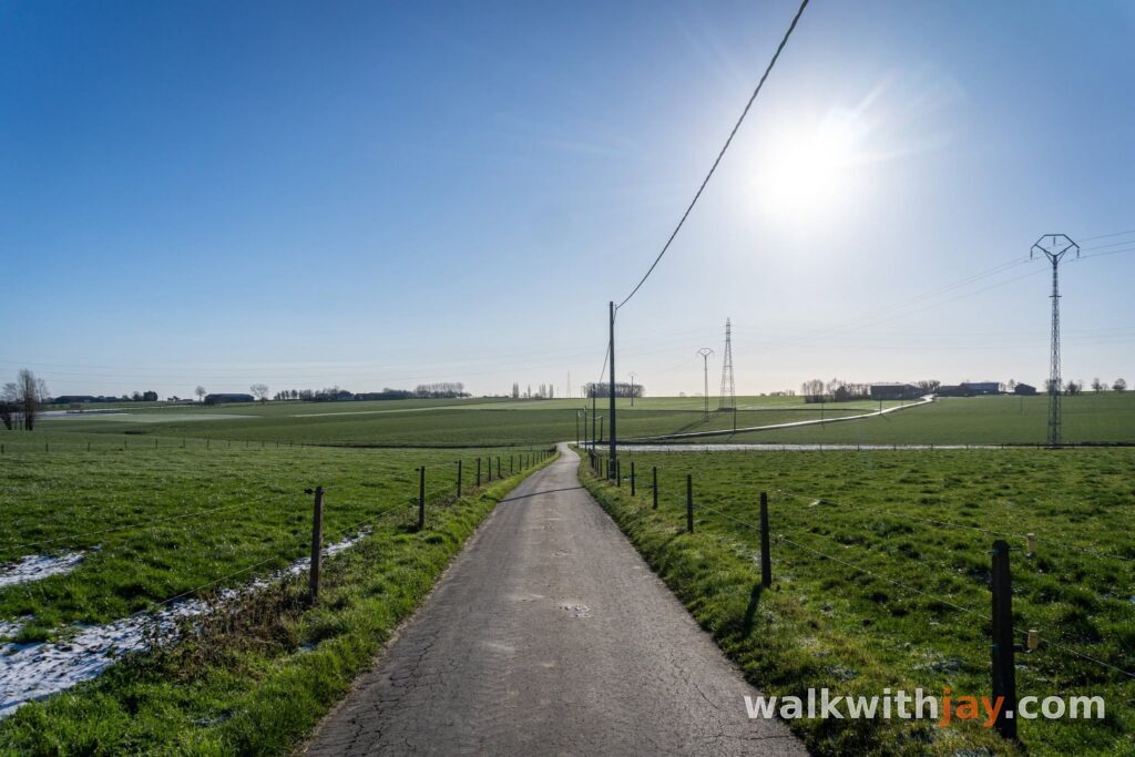
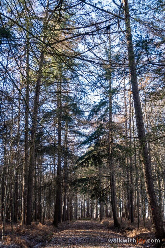
Quiet country roads alternate with woodland tracks and unpaved paths. Along the way, you discover how the war shaped this landscape, from bunkers hidden among the trees to large mine craters and military cemeteries.
Route map
From De Kroonaard to Zahnstocher Wald
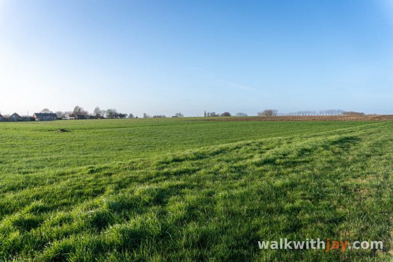
The walk begins at the De Kroonaard recreation area, with views towards Kemmelberg and the mine craters of Petit Bois.
A little further on, you enter a small wood known to the Germans during the First World War as Zahnstech or Zahnstocher Wald. British maps marked it as Unnamed Wood. Before the Battle of Messines in June 1917, part of the German front line ran through this woodland.
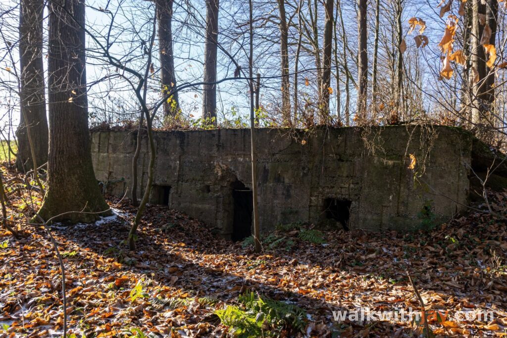
Near walking junction 31, a German concrete military post still stands among the trees. Hidden in the greenery, it is easy to walk past without noticing it.
Kampagnebos and the Dietrich shaft
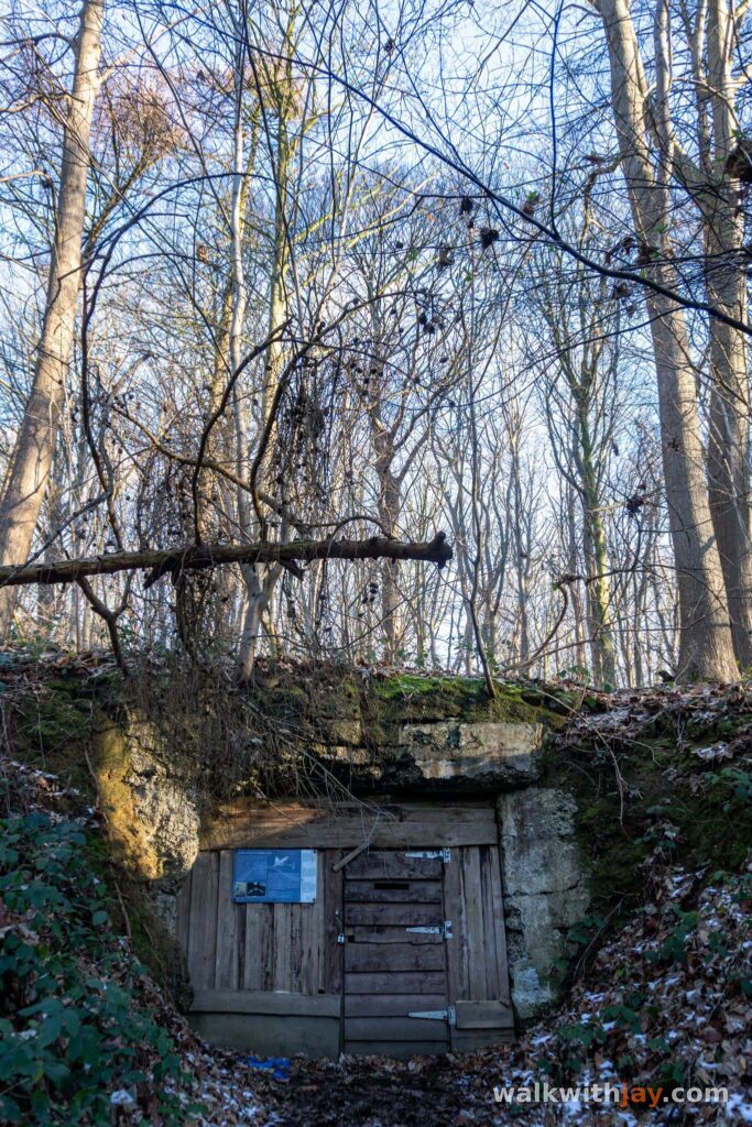
Country paths lead you to Kampagnebos. Among the trees lies the German Dietrich counter-mine shaft, one of the most distinctive wartime remains along the route.
From autumn 1915, British tunnelling companies dug deep tunnels beneath the German positions on the Wijtschate–Messines Ridge. When the Germans discovered these operations, their miners began digging counter-mines to locate and destroy the British tunnels.
Work on Dietrich and the nearby Daniel shaft began in early 1917 to counter the British mines at Petit Bois. The circular shaft was built using specially cast, curved concrete blocks. According to the Inventaris Onroerend Erfgoed, it is thought to lead to an unfinished wooden tunnel at a depth of around 45 metres.
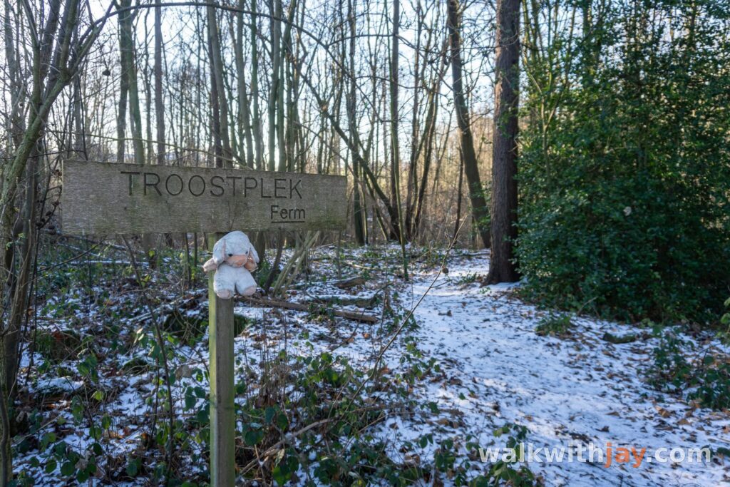
The route continues through Kampagnebos before returning to open farmland. Further bunkers and smaller military remains can be found among the trees, hedges and fields.
The mine warfare at Sint-Elooi
The walk continues through the Huikerbossen towards Sint-Elooi. Here too, fighting took place both above and below ground.
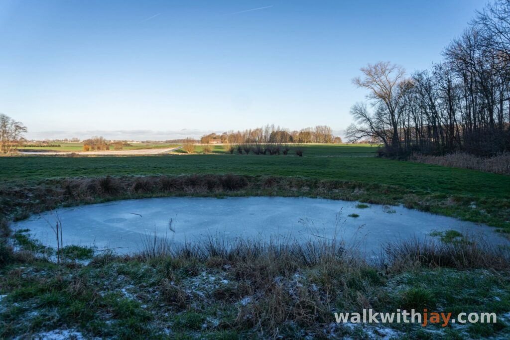
On 27 March 1916, the British detonated several deep mines almost simultaneously. Two craters survive along Eekhofstraat. These explosions were a precursor to the much larger mine detonations on the Wijtschate–Messines Ridge in June 1917.
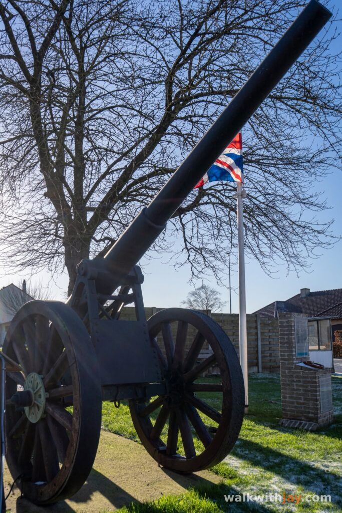
At the roundabout, you will find a memorial to the fighting and a Belgian 12 cm Krupp gun dating from the First World War.
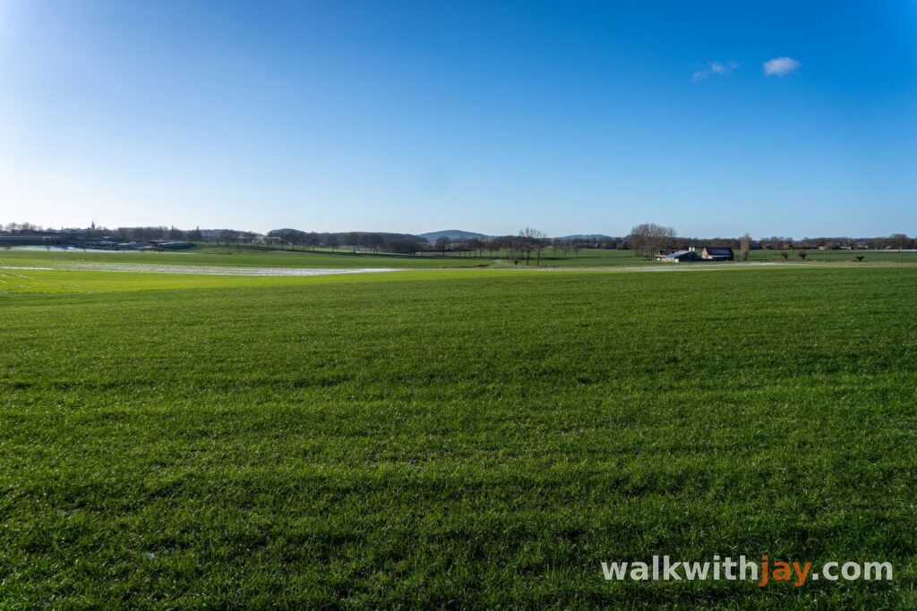
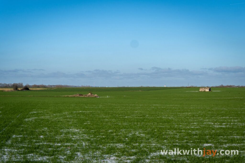
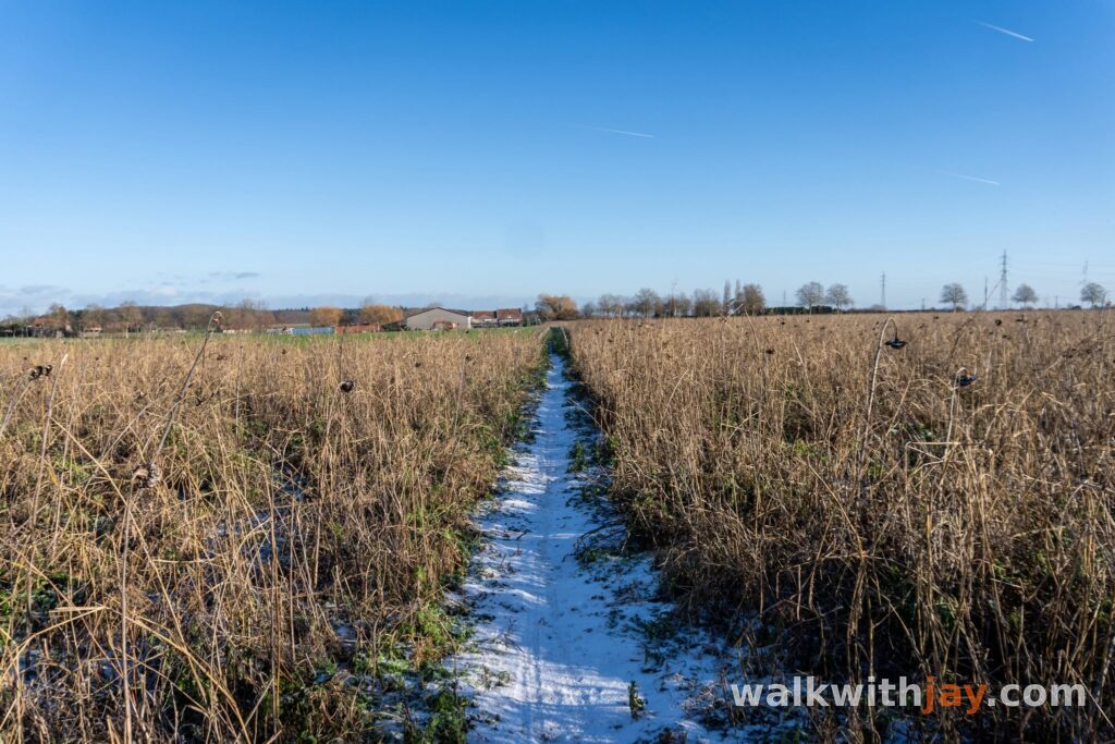
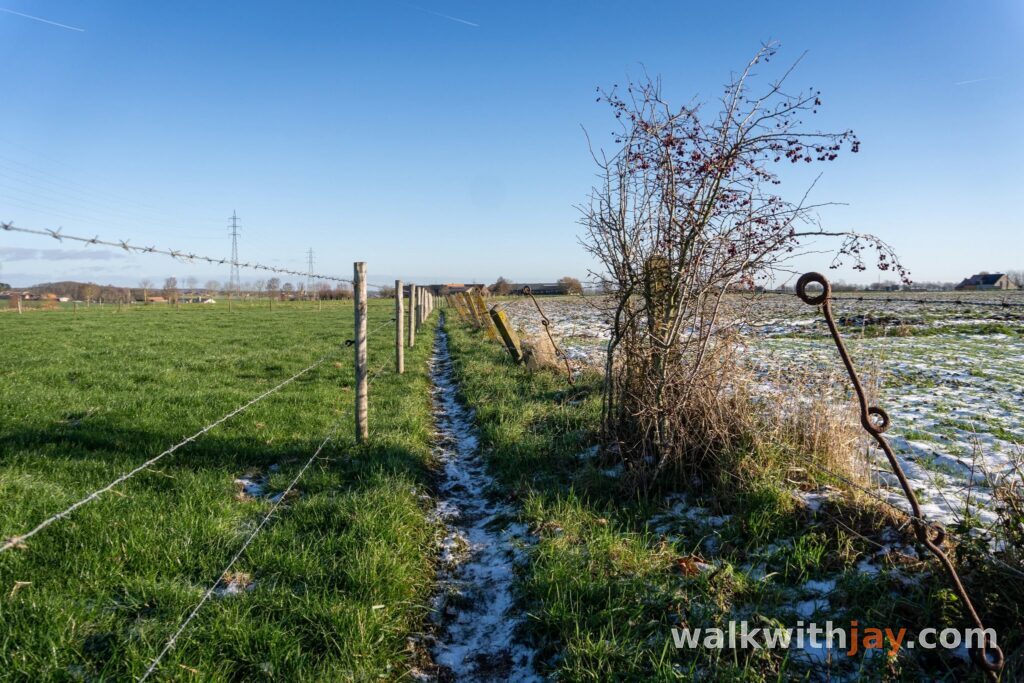
The landscape becomes more open here, with broad views across the fields. Some of the craters and other wartime remains lie surprisingly close to houses and working farmland.
Bus House Cemetery and the return to Wijtschate
After Sint-Elooi, the route passes Bus House Cemetery. Its name comes from a nearby farm known during the war as Bus House.
According to local tradition, the farm gained this name after a London omnibus broke down here in 1914 while carrying troops to the front. Hundreds of London buses were used to transport soldiers in France and Belgium during October and November of that year.
The cemetery was mainly used between June and November 1917 and also contains graves from the Second World War. Today, it lies peacefully among the fields, just a few hundred metres from Sint-Elooi.
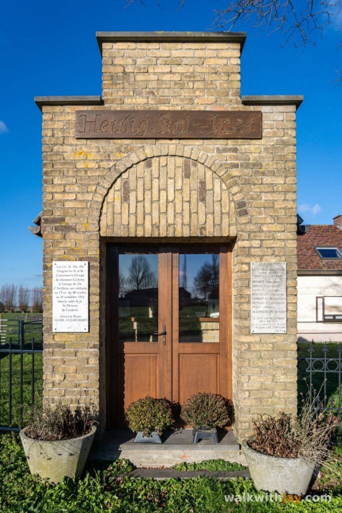
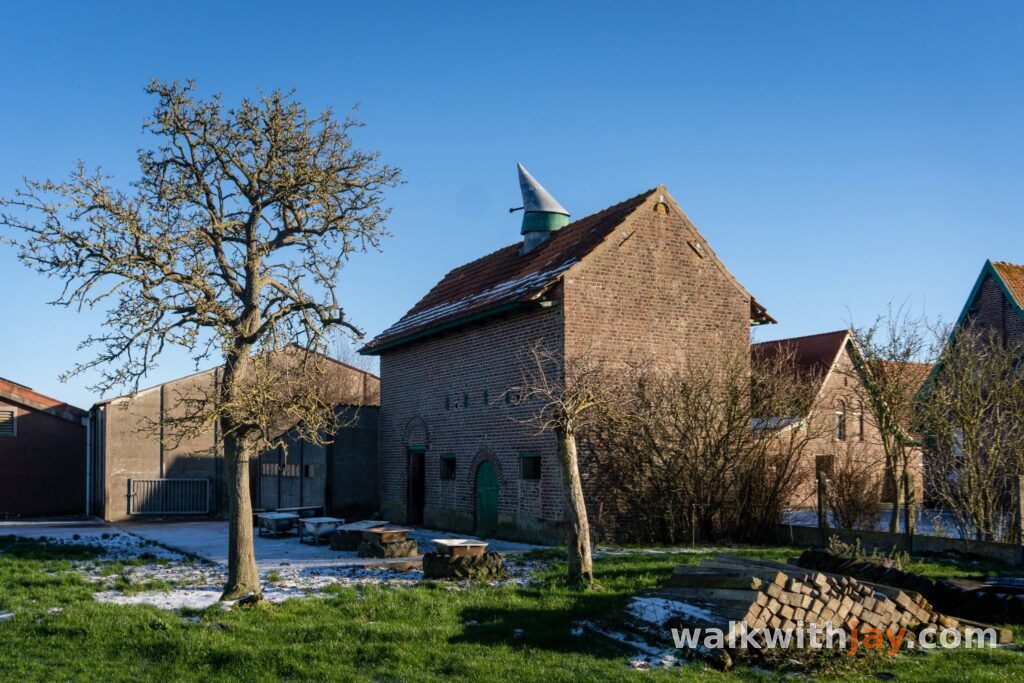
From here, a mixture of paved and unpaved roads takes you back towards Wijtschate, passing chapels, small memorials and further traces of the front.
If you still have time and energy, you can add a visit to Bayernwald or Croonaert Chapel Cemetery. Both are close to the route.
Photos from this walk






Jay’s tips
Take a moment to read the information board at the Dietrich shaft and look closely at the structure. It is easy to walk past, yet for me it is one of the most interesting places on the route.
Good to know
Muddy after rain
Sturdy footwear recommended
Little shade
Picnic area or benches
War cemetery
Memorial or commemorative monument
Woodland tracks and field paths can become muddy after rain, so sturdy walking shoes are recommended. There is little shade on the open sections. At De Kroonaard, picnic tables and a play area make it a useful place to stop before or after the walk.
My experience
What I appreciate most about this walk is the variety. Woodland, open fields and historical stops keep the route interesting throughout.
Kampagnebos and the Dietrich shaft were the highlights for me. It is remarkable to find such a deep mine shaft among the trees in a wood that feels so peaceful today.
I also enjoyed the section towards Sint-Elooi, where the trees give way to wide views across the countryside. The mine craters and Bus House Cemetery provide interesting stops along the way.
If nature is your main priority, there are greener routes in Heuvelland. For a longer walk combining woodland, rolling countryside and First World War history, I find this a particularly interesting loop.
Walking nodes
Wandelnetwerk Heuvelland / Ieperboog Zuid
Places of interest

Belevingsplek De Kroonaard
At start/finish
Recreation area at the start with a play area, picnic seating, public toilets and views towards Kemmelberg and Petit Bois.
Vierstraat 31, 8953 Wijtschate, Belgium ↗
Website →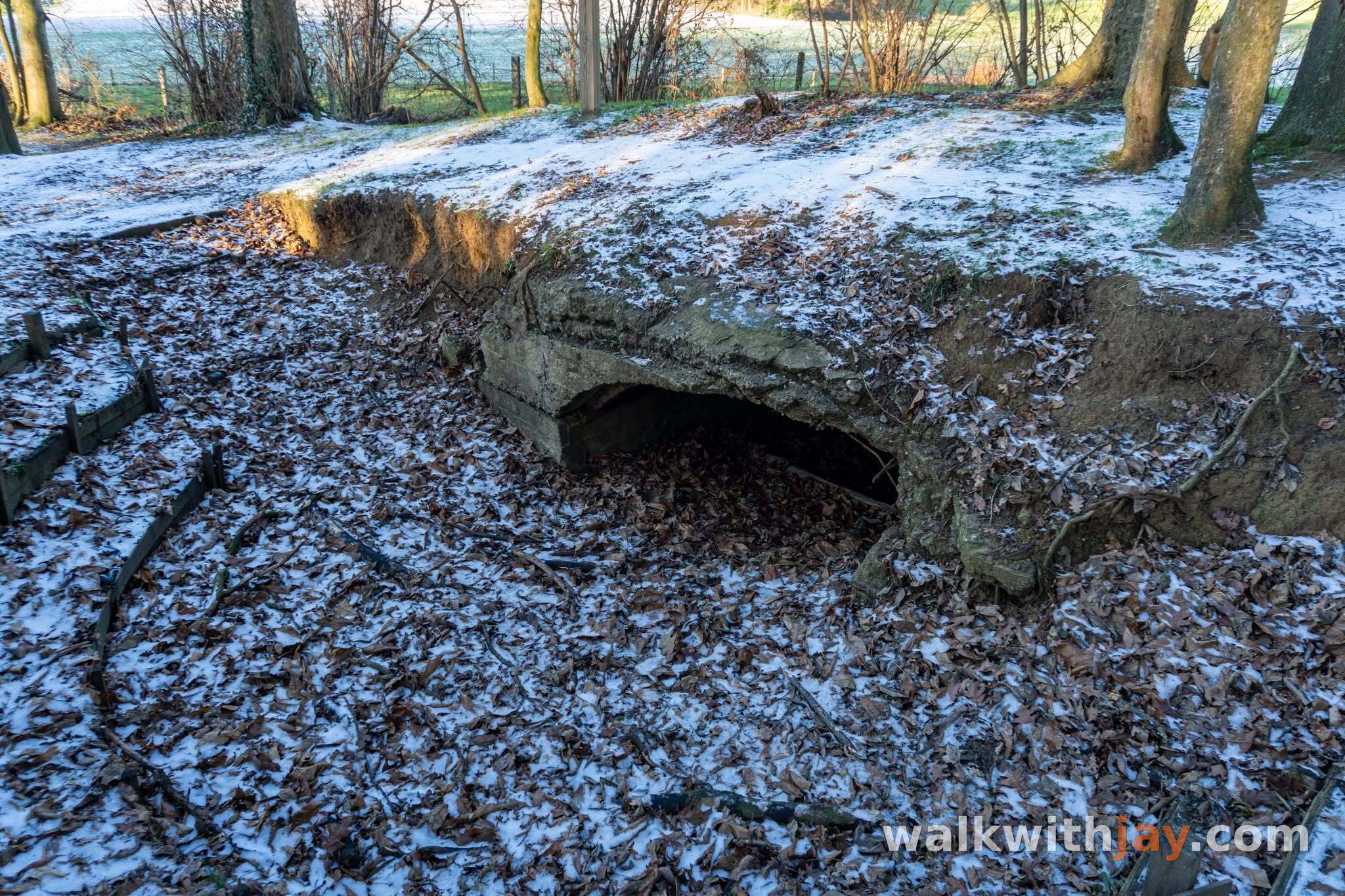
Duitse militaire post Unnamed Wood
Along the route
German concrete military post in the former Zahnstocher Wald, close to the old German front line.
Vierstraat, 8953 Wijtschate, Belgium ↗
Website →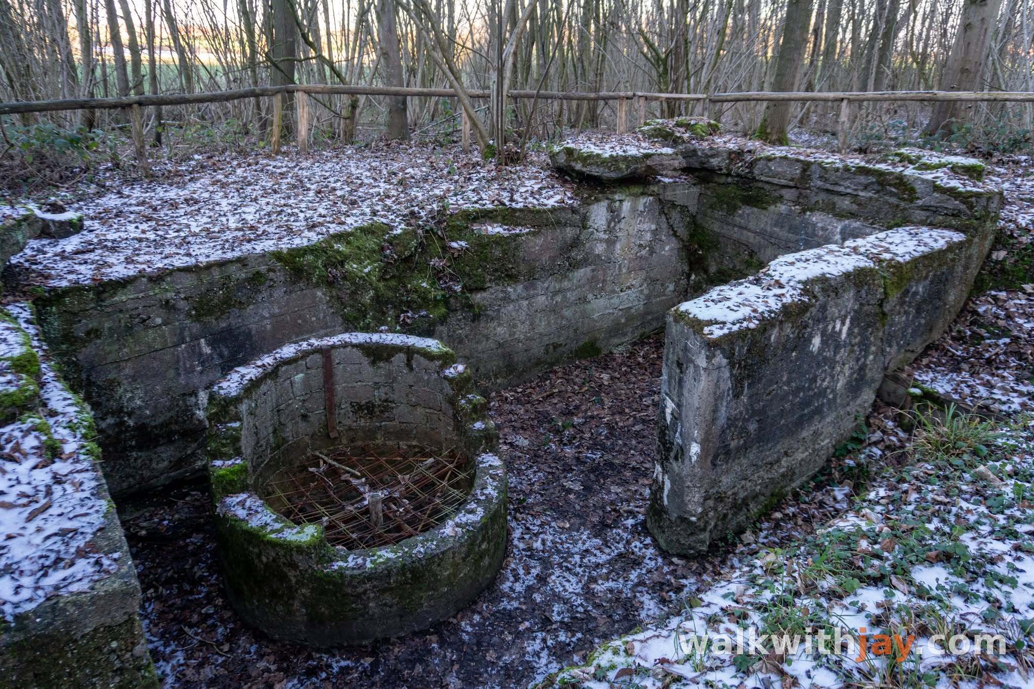
Dietrich-schacht
Along the route
Surviving German counter-mine shaft from the underground war leading up to the Battle of Messines in 1917.
Kroonaardstraat, 8953 Wijtschate, Belgium ↗
Website →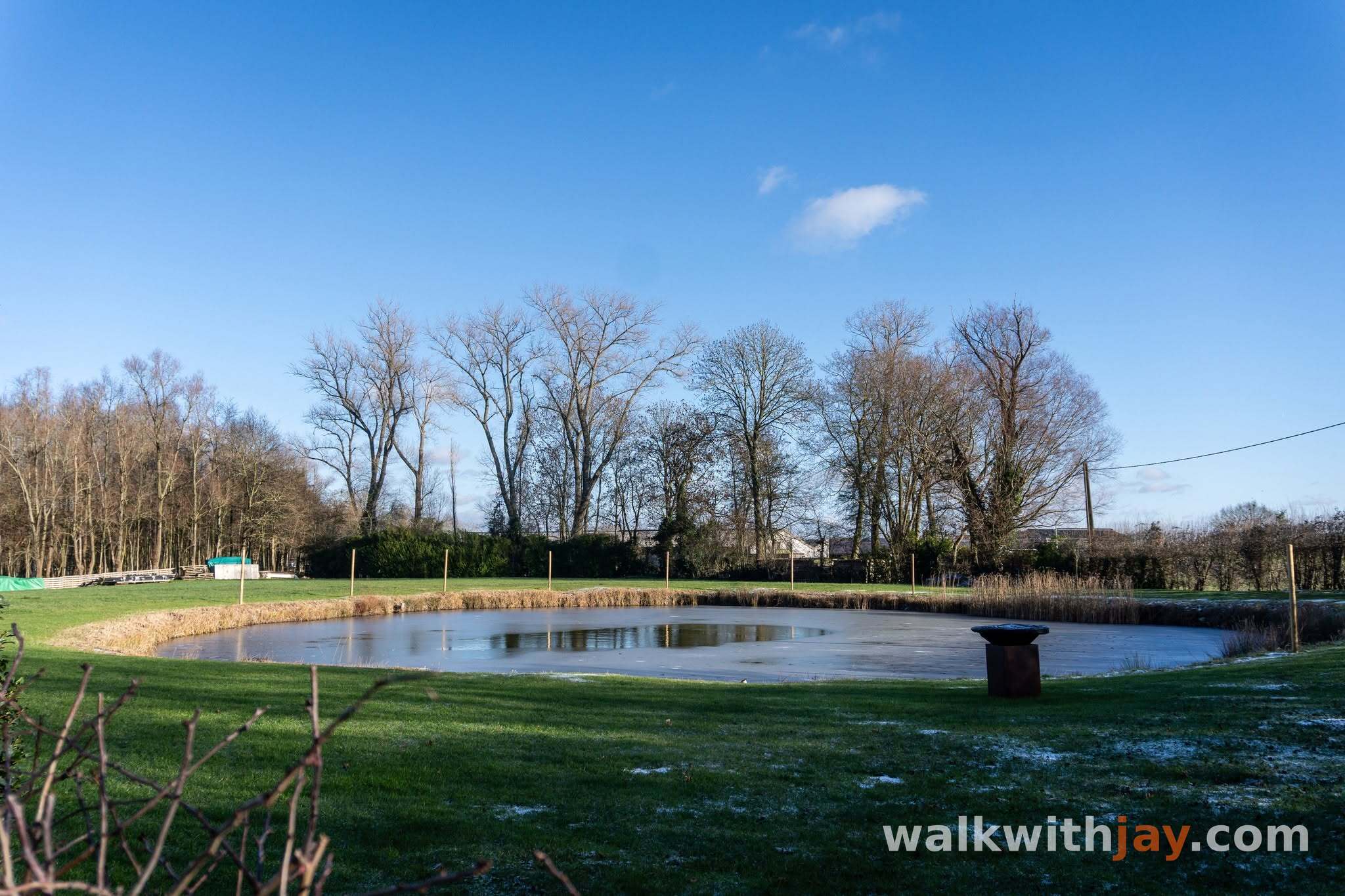
Mijnkraters Sint-Elooi
Along the route
Two surviving mine craters from the British explosions of 27 March 1916.
Eekhofstraat, 8902 Ieper, Belgium ↗
Website →
Bus House Cemetery
Along the route
British military cemetery begun in 1917, named after nearby Bus House and the story of a London omnibus that broke down here.
Sint-Elooisweg, 8902 Ieper, Belgium ↗
Website →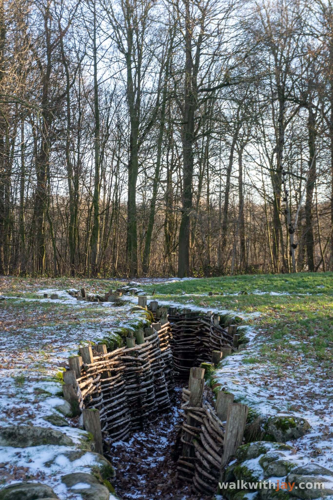

Ready to set off?
Open the starting point in your GPS and enjoy the walk.