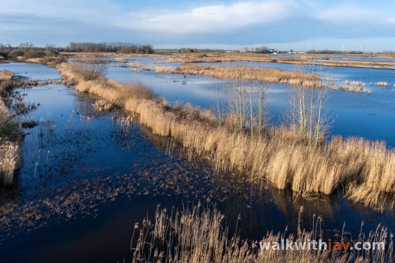
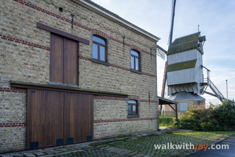
Sentier de Booneghem
Clairmarais
 3 min read
A waterside walk through the marshes of Clairmarais, with small bridges, country paths and a hand-operated chain ferry along the way.
The walk
The Sentier de Booneghem is a 6-kilometre loop through the eastern part of the Clairmarais marshes, around Booneghem.
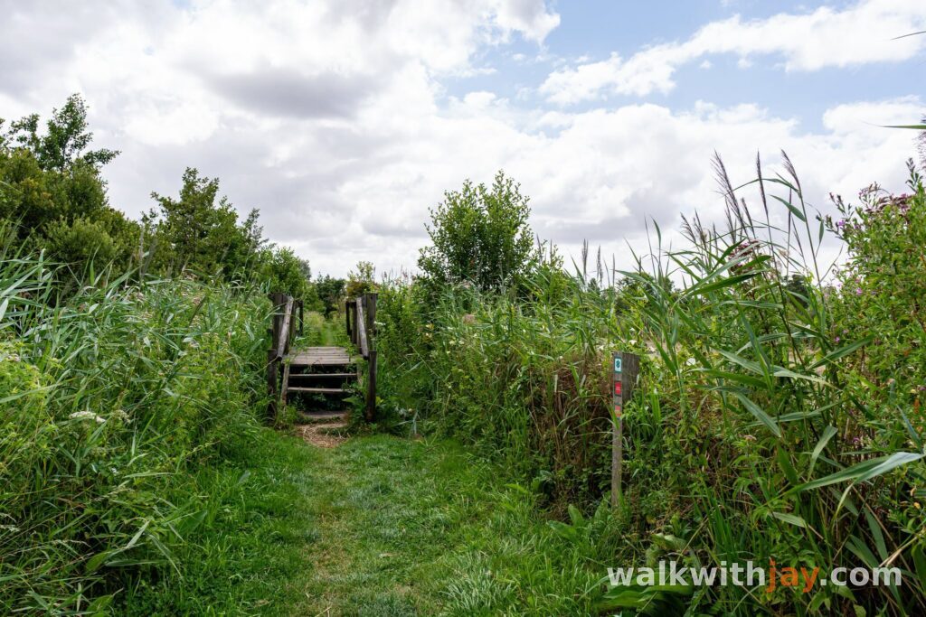
The route alternates between quiet roads and unpaved paths, often right beside the water. After Booneghem, it continues between the fields before returning towards Clairmarais along narrower paths on the edge of the nature reserve.
Route map
Life beside the water
Much of the first part of the walk follows the canals and smaller waterways of the marshes. The houses along the water give this section a character of its own.
Many have a small private jetty, often with a boat tied up beside it. You quickly notice how closely daily life in Clairmarais is connected to the water.
The route also crosses several small bridges. At the Booneghem river, the old steel bridge still stands beside the newer crossing, although it is now closed.
This is also where you cross from Pas-de-Calais into Nord.
Through Booneghem and the fields
The scenery changes as you reach Booneghem. The route gradually leaves the waterways behind and continues between the fields, passing the Au Pré de la Chaumière petting farm and L’Auberge de Booneghem.
Pay attention here. During my walk, one of the route arrows pointed in a different direction from the line shown on the map. If you rely only on the signs, it is easy to head the wrong way.
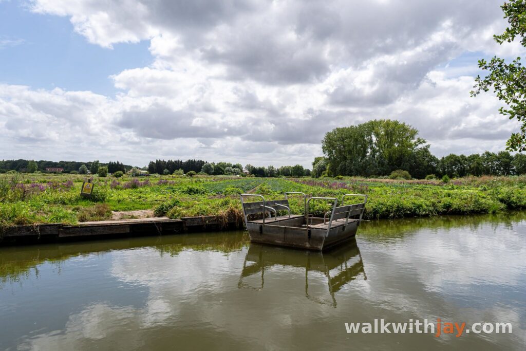
A chain ferry towards the Romelaëre
A little farther on, the route returns to narrower unpaved paths. The trail follows the edge of the nature reserve until you reach a small chain ferry.
You pull yourself across using the chain. It was one of my favourite parts of the walk and fits perfectly with the watery landscape around Clairmarais.
After crossing, the Réserve Naturelle Nationale des Étangs du Romelaëre is only a short distance away. You can extend the walk here and add a few extra kilometres through the reserve.
Dogs are not allowed inside the nature reserve, even on a lead.
Back towards Clairmarais
If you do not extend the walk through the reserve, it is only a few more minutes back to the starting point.
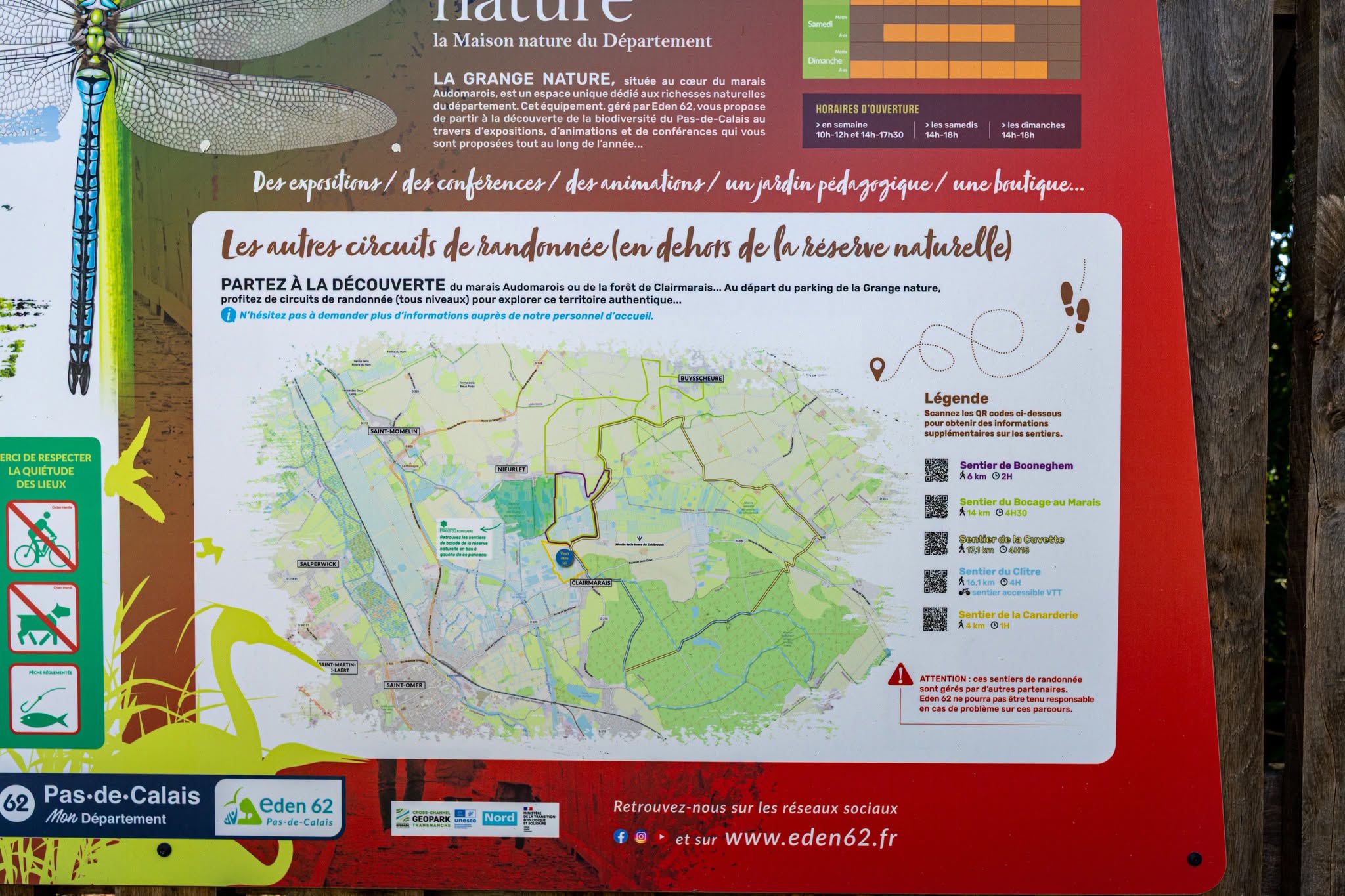
La Grange Nature is also nearby. During opening hours, you can find information there about the local wildlife and walking routes around Clairmarais. There are also several places nearby where you can stop for food or a drink.
If you have already walked Du Bocage au Marais, several sections will feel familiar. That route is around 14 kilometres long and explores a larger part of the same marshland.
Photos from this walk



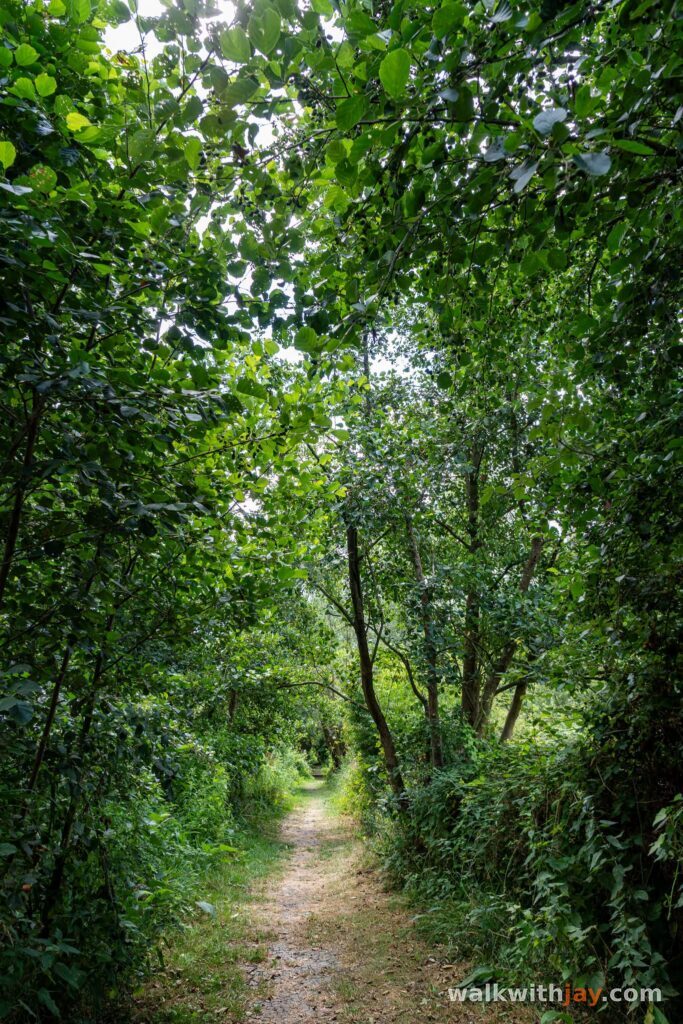
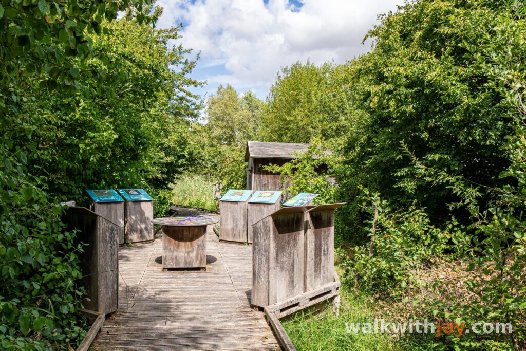

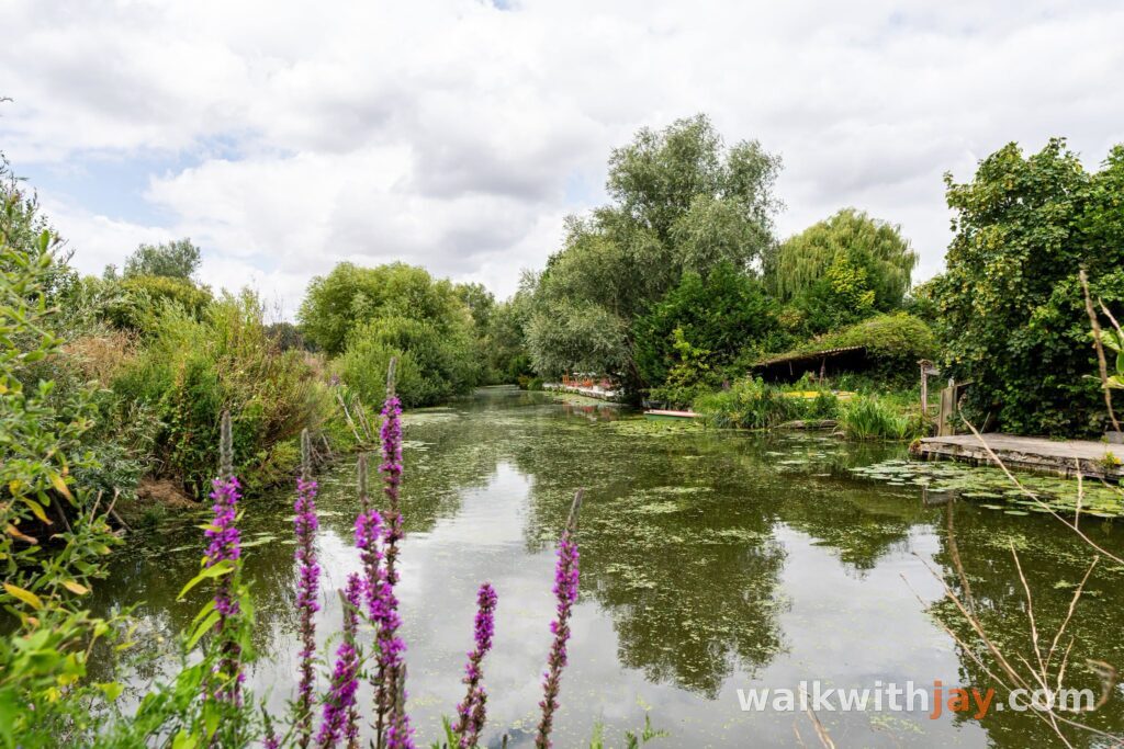
Jay’s tips
If you want a longer walk, choose Du Bocage au Marais at around 14 kilometres. The Sentier de Booneghem follows much of the same route, but in a shorter version.
Good to know
Sturdy footwear recommended
Little shade
Picnic area or benches
Visitor centre or information point
Pay close attention in Booneghem. The map shows the route continuing along the road, while an arrow on the ground points in a different direction.
My experience
I chose this walk because I had to be near Saint-Omer and still had some time to spare.
I especially liked the section beside the water. The houses with their small jetties and boats give Clairmarais a character you do not get on an ordinary country walk. The chain ferry is also a fun addition and makes the route feel a little different.
If Du Bocage au Marais feels too long, these 6 kilometres already give you a very good introduction to the marshes around Clairmarais.
Waymarking
Waymarking arrows on site

Route map available on site
Food and drink
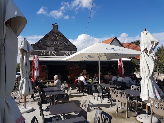
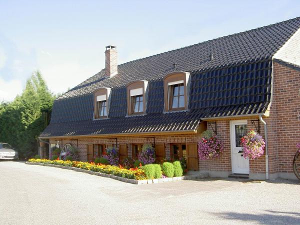
Auberge de Booneghem
Along the route · after about 3.0 km
26 Chem. des Abbesses, 59143 Nieurlet, France ↗
Website →Places of interest
Au Pré de la Chaumière
Along the route
Petting farm along the route through Booneghem.
Website →Ready to set off?
Open the starting point in your GPS and enjoy the walk.