Beeuwsaertmolenpad
Bikschote
A peaceful rural loop from Bikschote, passing Steenstraete, the Ypres–Yser Canal, Boezinge Lock and the historic Beeuwsaert Mill.
The walk
The Beeuwsaertmolenpad is a rural loop of around 8 kilometres around Bikschote. The official start is at the Beeuwsaert Mill, but I began beside Saint Andrew’s Church in the village. The route mixes paved and unpaved sections and passes several places where local history comes back into view, from the gas attack of 1915 to the old defences around Boezinge Lock and the eventful history of the mill itself.
From Bikschote to Steenstraete
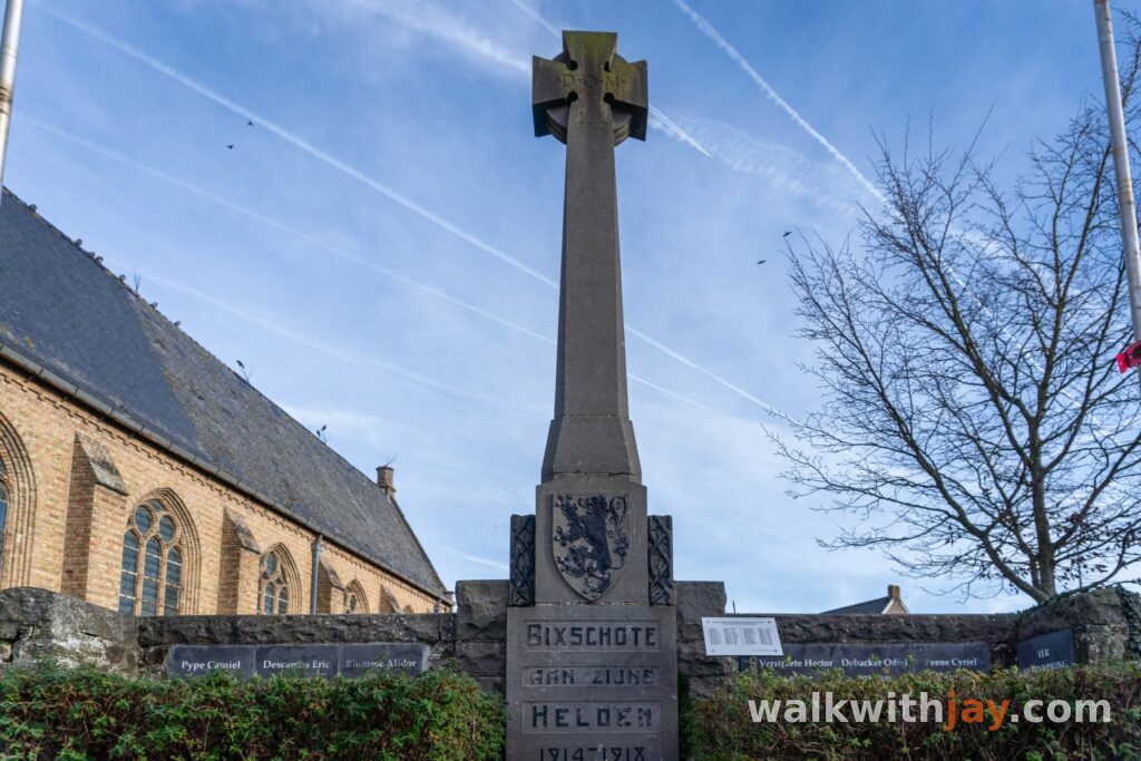
From Saint Andrew’s Church, the route heads through the countryside towards Steenstraete. The present church dates from the reconstruction of the 1920s, after the original village was completely destroyed during the First World War.
Steenstraete, beside the Ypres–Yser Canal, is closely linked with 22 April 1915. That afternoon, German troops opened thousands of cylinders of chlorine gas along several kilometres of front between Steenstraete and Langemark. The yellow-green cloud drifted towards the French lines and marked the opening of the Second Battle of Ypres. It was the first large-scale use of chlorine gas on the Western Front.
Today, Steenstraete is a quiet hamlet again. During the 20th century, the bridge also became an important loading point for sugar beet. Especially after the Second World War, local farmers brought their harvest here to be loaded onto barges for transport to the sugar factories.
Along the canal to Boezinge Lock
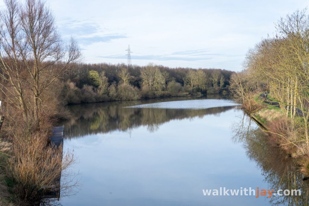
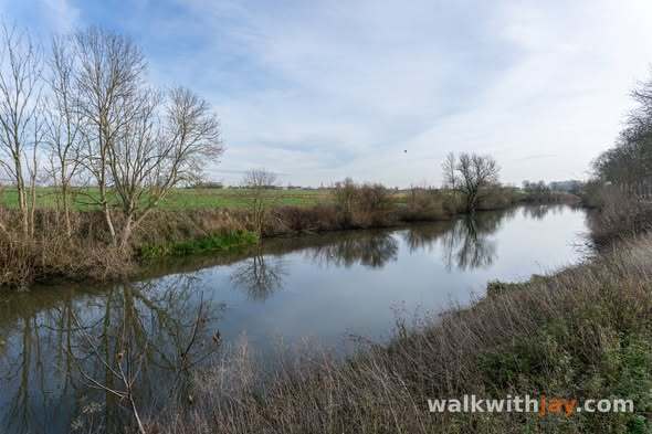
From Steenstraete, the walk follows the towpath beside the Ypres–Yser Canal for a while. It is peaceful today, but during the First World War the front line ran directly through this landscape.
From the spring of 1915 until the summer of 1917, Allied troops held the left bank while German forces occupied the right. Memorial trees now mark parts of those former front lines and make their position in the modern landscape easier to recognise.
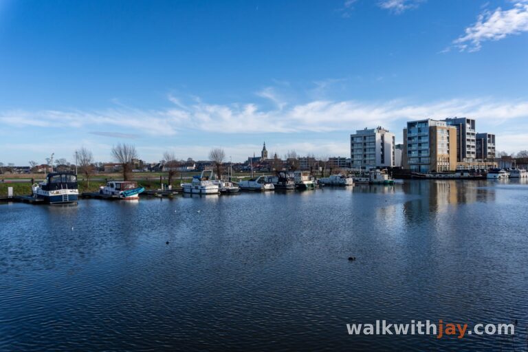
Farther on, the route reaches Boezinge Lock. The waterway between Ypres and the Yser has medieval origins, but the canal was extensively altered during the 17th century and a large lock was built here. Its strategic position also gave the site an important military role.
Under Louis XIV, the area became part of the French frontier defences. Around 1695–1699, the existing works around Fort Saint-Nicolas were strengthened under Vauban with a ravelin and other earthworks. Traces of that old defensive landscape can still be recognised around the lock today.
The Beeuwsaert Mill
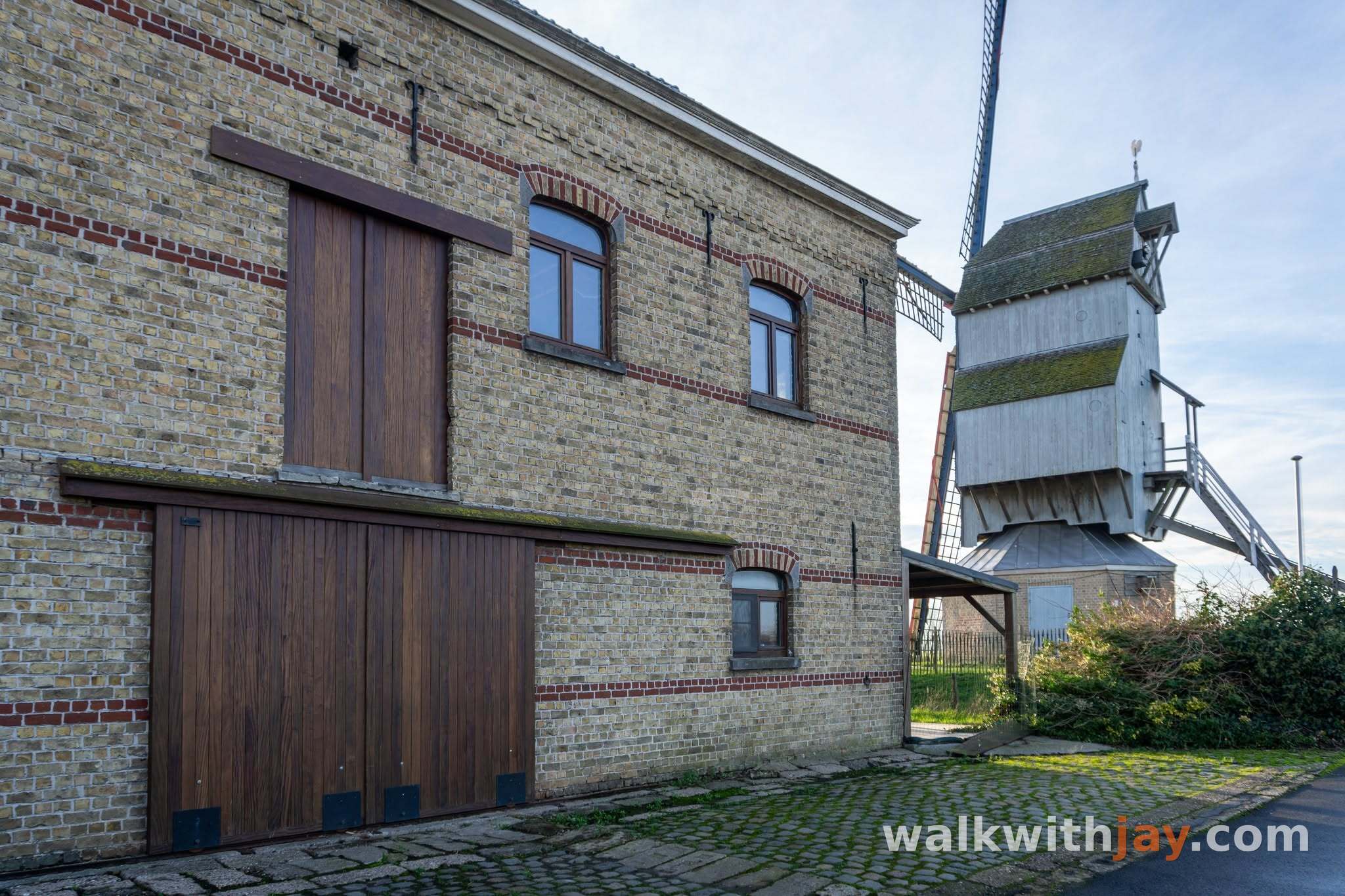
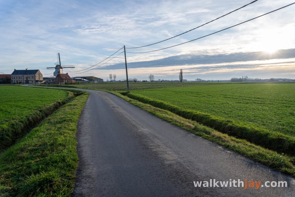
After the lock, the route returns to open farmland and heads towards the Beeuwsaert Mill. A windmill has stood on this site since 1635, and its history is one of repeated destruction and rebuilding.
The mill burned down in 1830 and was rebuilt soon afterwards. In 1884, it passed to the Beeuwsaert family, which gave it the name still used today. When the First World War reached the area, French troops referred to it as the 'Moulin Bleu'. It turned for the last time on 19 October 1914.
During the gas attack of 22 April 1915, the mill was completely destroyed by shellfire and fire. After the war, Lucien Beeuwsaert decided to rebuild it using parts from two other mills: the Leenhoudersmolen at Roesbrugge and the Blanckaertmolen at Leisele. The new mill was inaugurated in 1922.
Disaster struck again during the severe storm on the night of 2–3 January 1976. The mill ran through its brake, the windshaft broke and the sails were torn away. A complete reconstruction came much later. Since 2010, the Beeuwsaert Mill has once again stood above the Bikschote landscape and can be visited on selected days.
Back to Bikschote
If you start at the Beeuwsaert Mill, this is where the official route finishes. Because I began in the village, I continued for one final stretch back towards Saint Andrew’s Church.
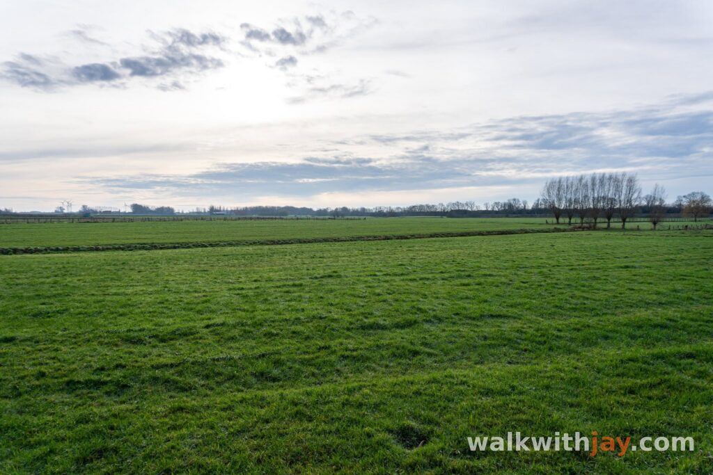
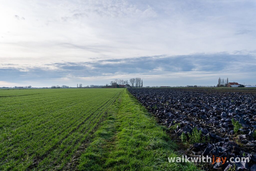
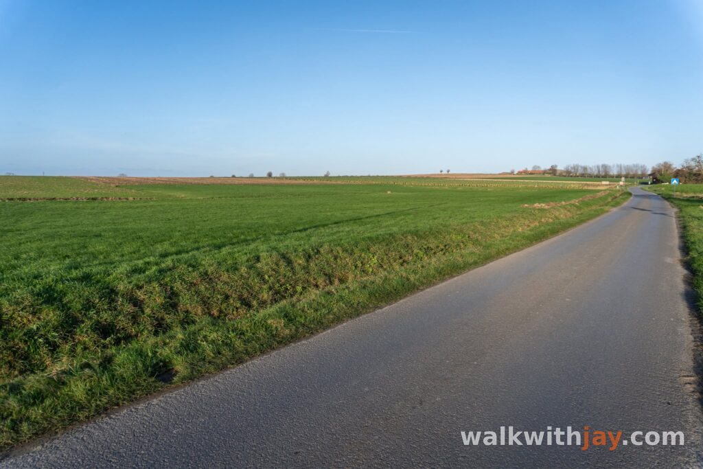
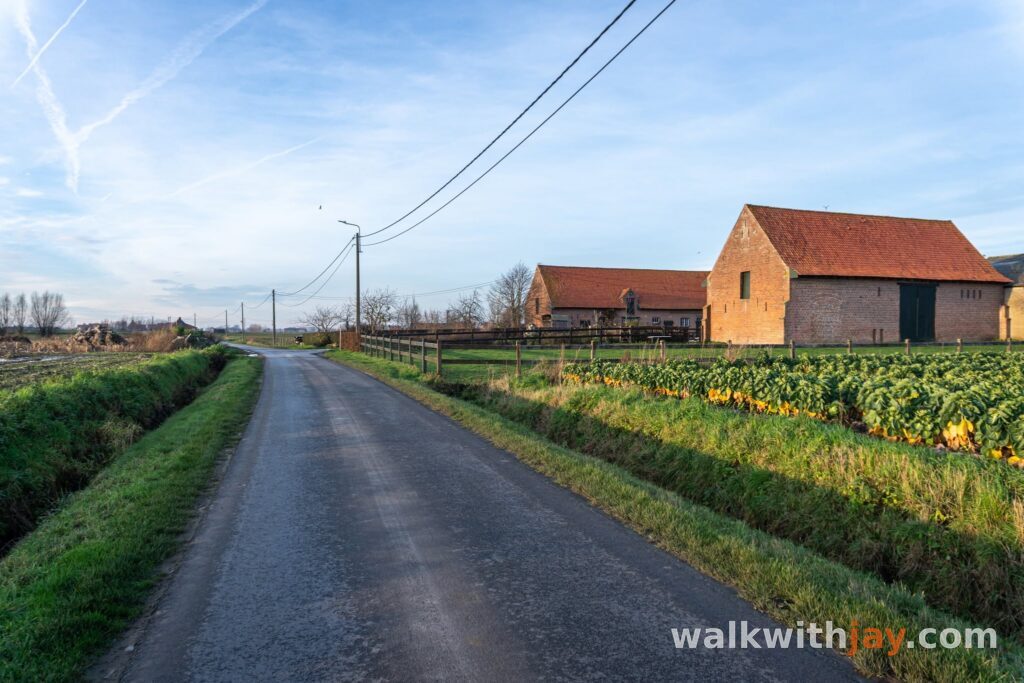
The last part once again crosses the open farmland around Bikschote. The walk is never difficult, but the mixture of country lanes, canal-side walking and historical stops gives it enough variety throughout.
Back in the village, you pass the church and war memorial again. The loop therefore ends in the centre of a small village that was completely destroyed during the First World War and rebuilt afterwards.
Photos from this walk



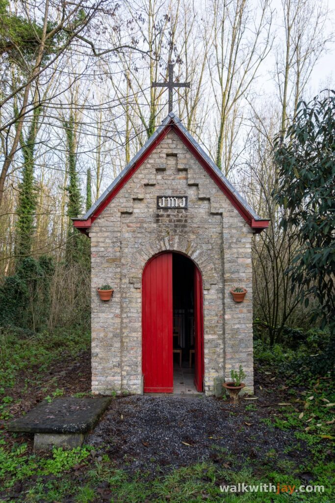
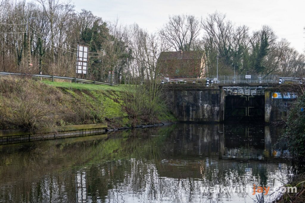
Jay’s tips
If you prefer starting in the village, Saint Andrew’s Church is a convenient alternative. That way you can visit the Beeuwsaert Mill during the walk and finish back in the centre of Bikschote.
Good to know
Muddy after rain
Sturdy footwear recommended
Little shade
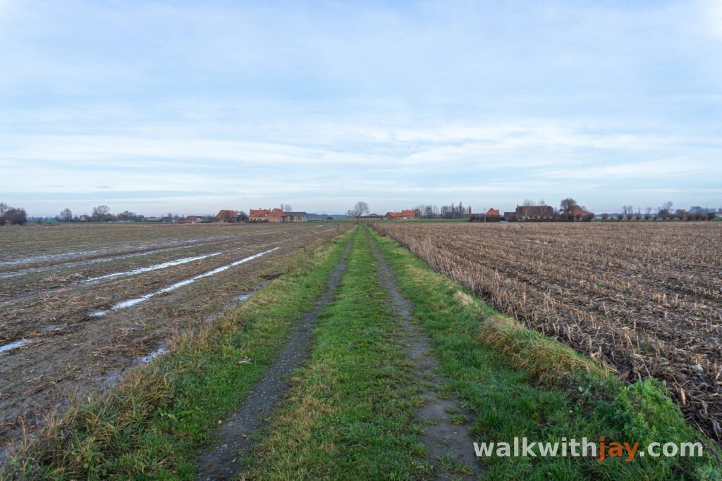
After rain, some of the unpaved field tracks can become muddy. Much of the route crosses open farmland with little shade. There are picnic benches at the Beeuwsaert Mill, and food and drink are available at Steenstraete along the route.
My experience
What I enjoyed most was the quiet, rural character of the countryside around Bikschote. The canal section towards Boezinge Lock was the strongest part for me, with water, open landscape and history all coming together naturally.
The Beeuwsaert Mill is obviously the main landmark of the route. Its repeated destruction and reconstruction make it much more interesting once you know the story behind it.
There are also enough unpaved stretches to break up the road walking, although this is still mainly a country walk rather than a pure nature route. If you enjoy quiet field roads and like discovering some history along the way, it is a very pleasant combination.
Waymarking
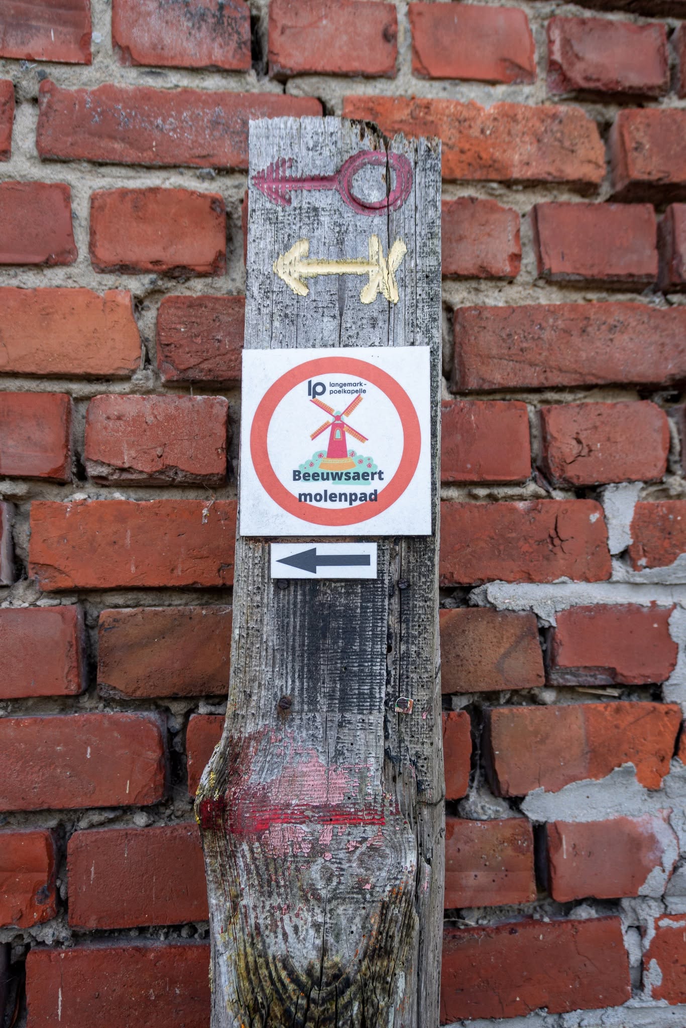
Beeuwsaertmolenpad
The Beeuwsaertmolenpad is one of the officially waymarked walking routes of Langemark-Poelkapelle. The official start is at the Beeuwsaert Mill.
Places of interest
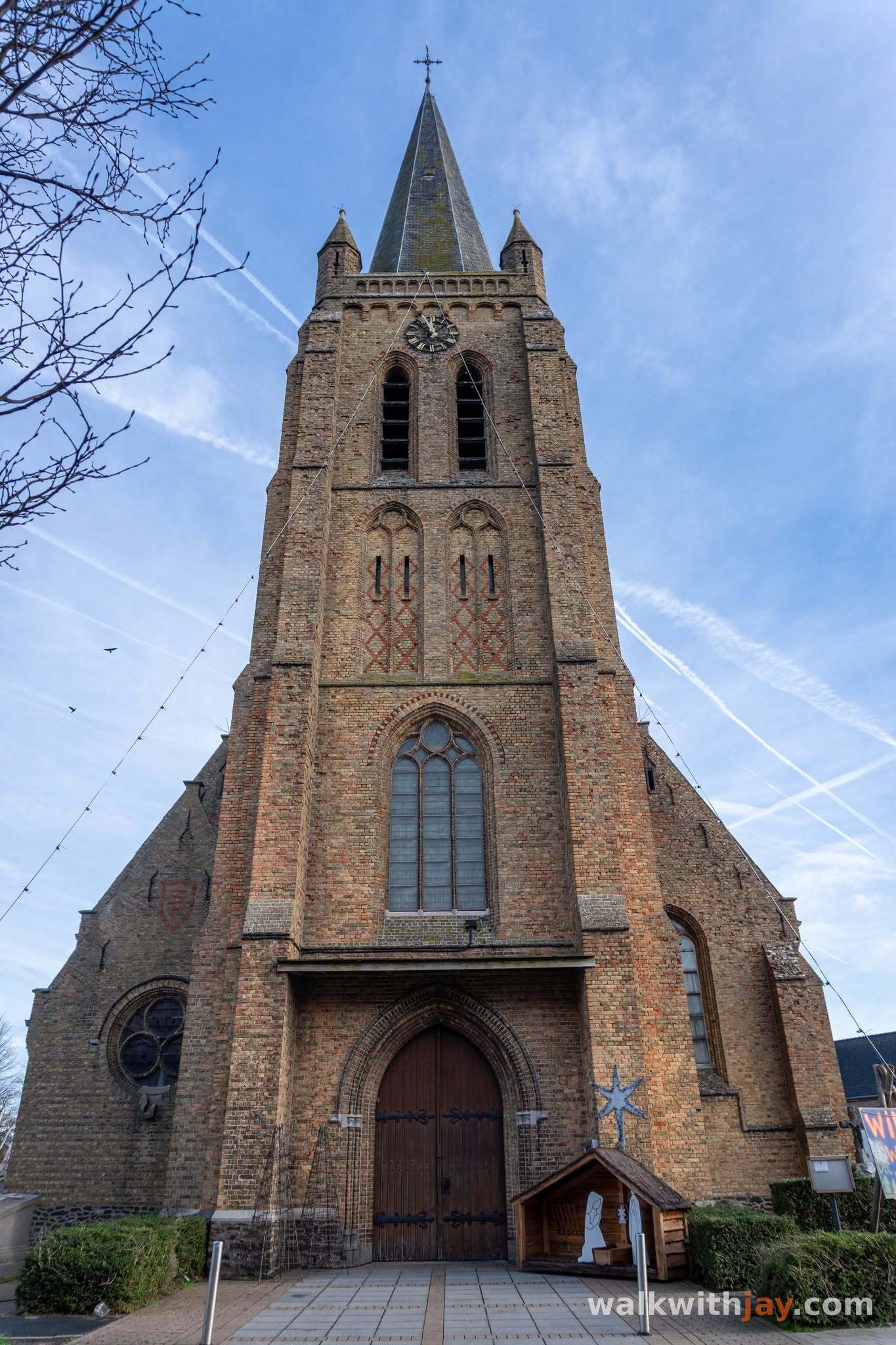
Sint-Andrieskerk
At start/finish
Rebuilt neo-Gothic village church containing several First World War memorial features.
Bikschotestraat 101, 8920 Bikschote, Belgium ↗
Website →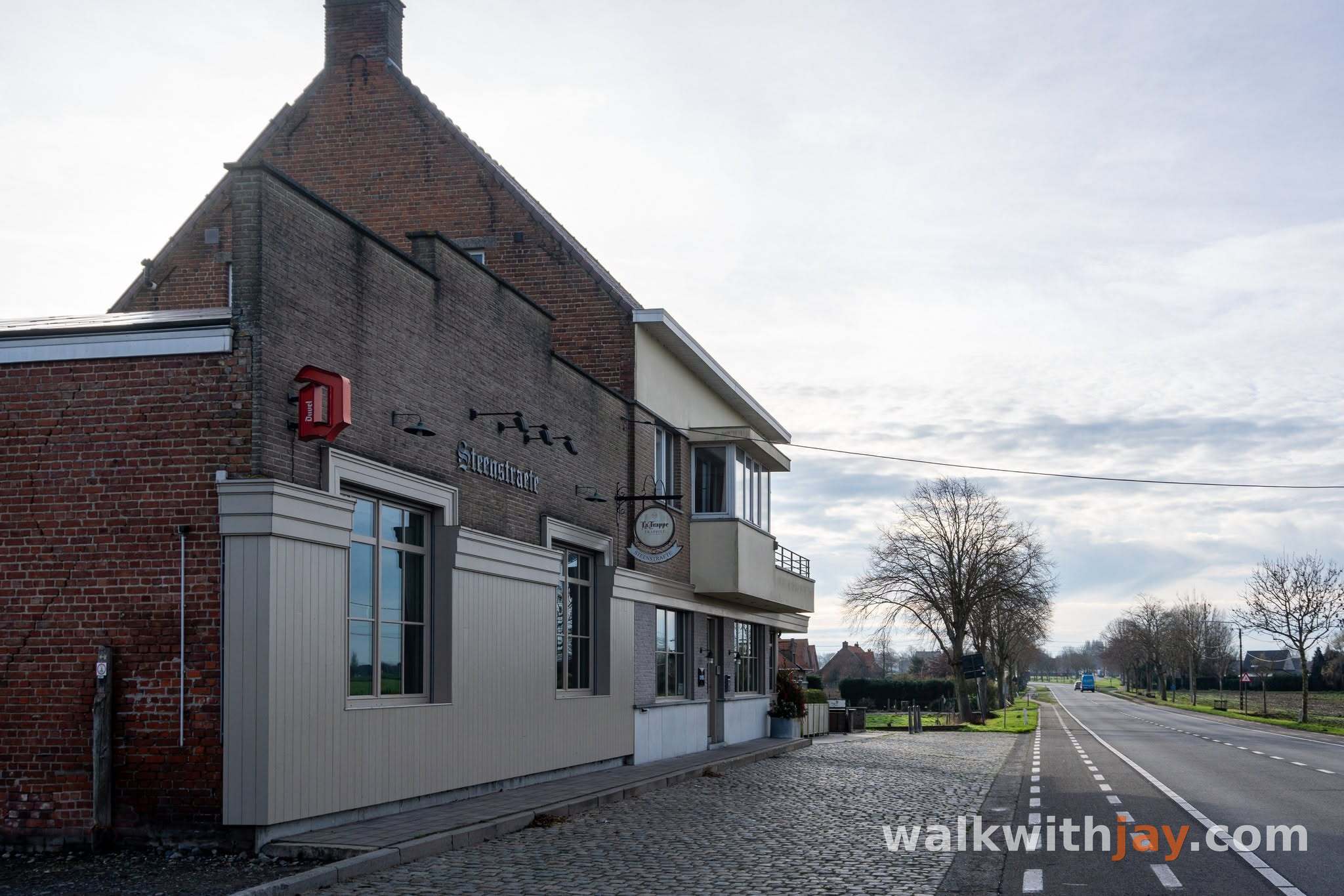
Steenstraete
Along the route
Historic canal-side hamlet closely associated with the large-scale chlorine gas attack of 22 April 1915.

Boezinge Sas
Along the route
Historic lock complex with traces of the 17th-century frontier defences around Fort Saint-Nicolas.
Sasstraat 15, 8904 Boezinge, Belgium ↗
Website → Beeuwsaertmolen
Along the route
Historic post mill on a site used for milling since 1635, destroyed in 1915 and later rebuilt after war and storm damage.
Pilkemstraat 26A, 8920 Bikschote, Belgium ↗
Website →Ready to set off?
Open the starting point in your GPS and enjoy the walk.