Through the Border Dunes
Bray-Dunes
 3 min read
A cross-border loop between Bray-Dunes and De Panne, taking in the beach, the Westhoek dunes and the Dune du Perroquet, with bunkers and traces…
The walk
This 11.2-kilometre circular walk starts in Bray-Dunes and follows the beach towards De Panne and Westerpunt. It then turns inland through the Westhoek nature reserve and returns to the French border.
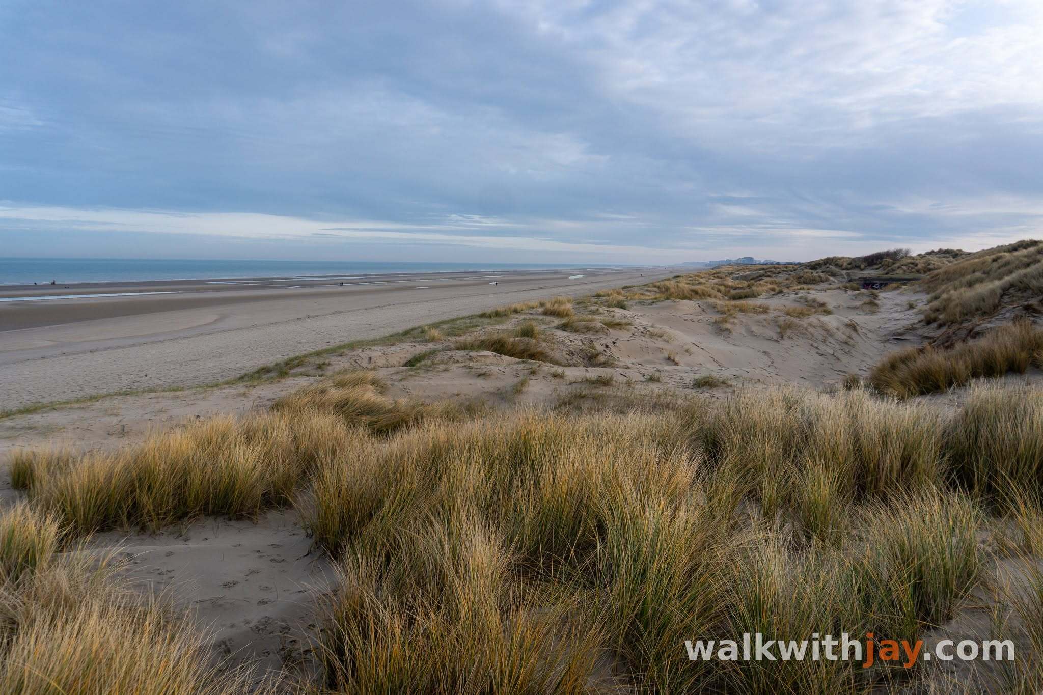
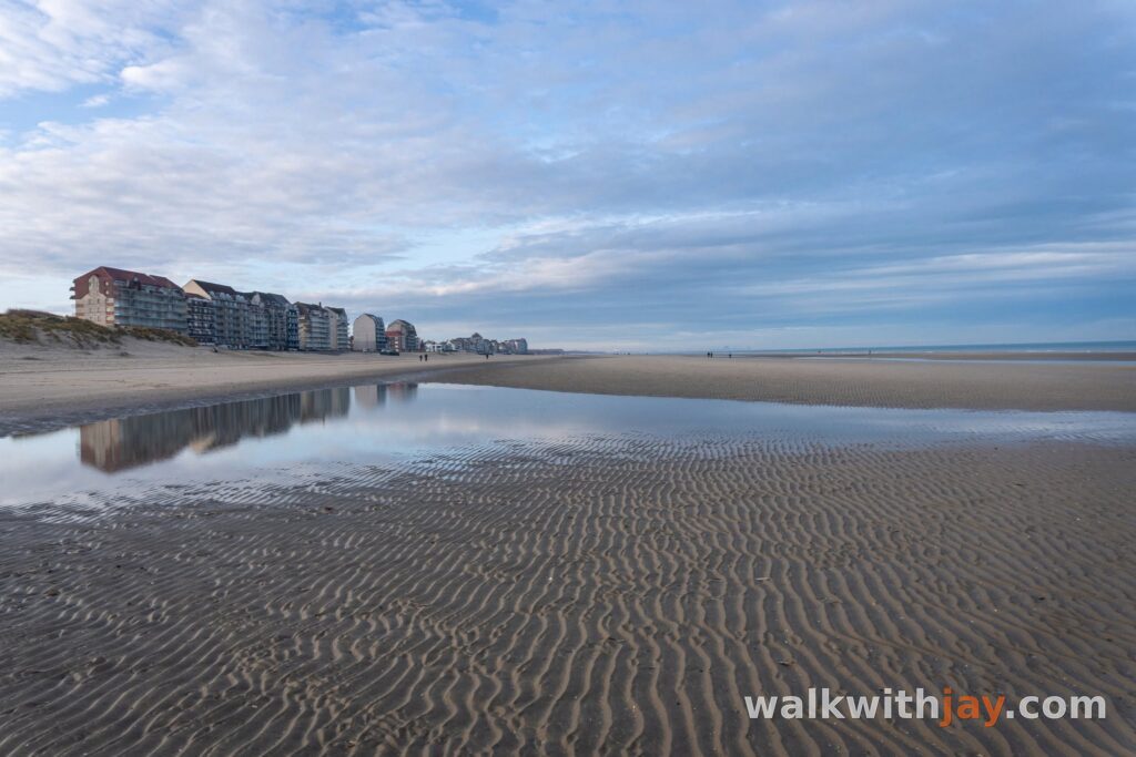
Wide beach gives way to sandy dune paths, open stretches and hollows covered in vegetation. Along the way, bunkers, a boundary marker and remnants of coastal defences tell the story of the area's past.
Route map
From Bray-Dunes to the border
I like starting in Bray-Dunes. It is usually quieter than the Belgian side, and from Digue de Mer you reach the beach and dunes within minutes.
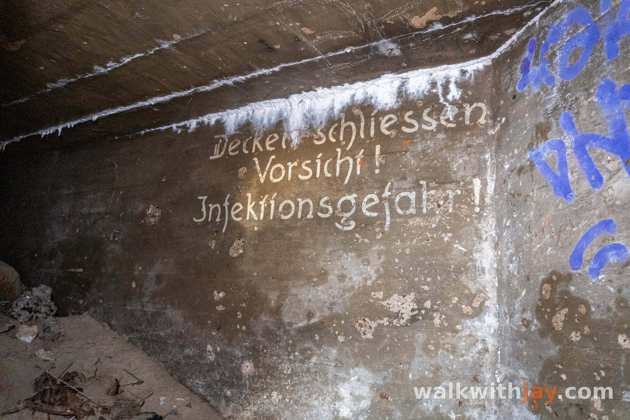
Near walking junction 54 stands a German bunker that belonged to Stützpunkt Adolf. It was a toilet bunker, and an original German inscription is still visible, warning of infection and asking soldiers to close the lid. It is a small, human detail in an otherwise grim set of defences.
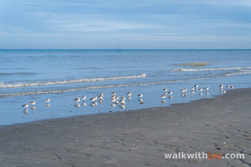
From here, the walk continues along the beach towards Belgium. At low tide, you can see the remains of the river steamer Empress. Only a small part of it sticks out of the sand, probably a piece of the chimney.
Westerpunt and the De Panne coastline
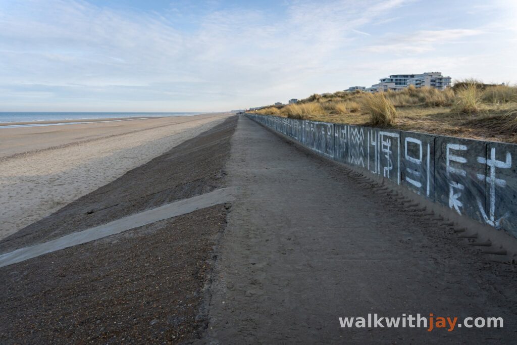
Beyond the border, the route follows one of the quietest stretches of beach in De Panne. Eventually you reach the Westerpunt, the concrete viewpoint that has stood at the end of the promenade since 2024. From the top, you get a wide view across the sea, beach and Westhoek reserve.
In 2025, a public vote named the Westerpunt the most beautiful place in West Flanders. I would personally have chosen somewhere else. I find the dunes around it far more impressive than the concrete structure itself, although the view from the top is certainly worth stopping for.
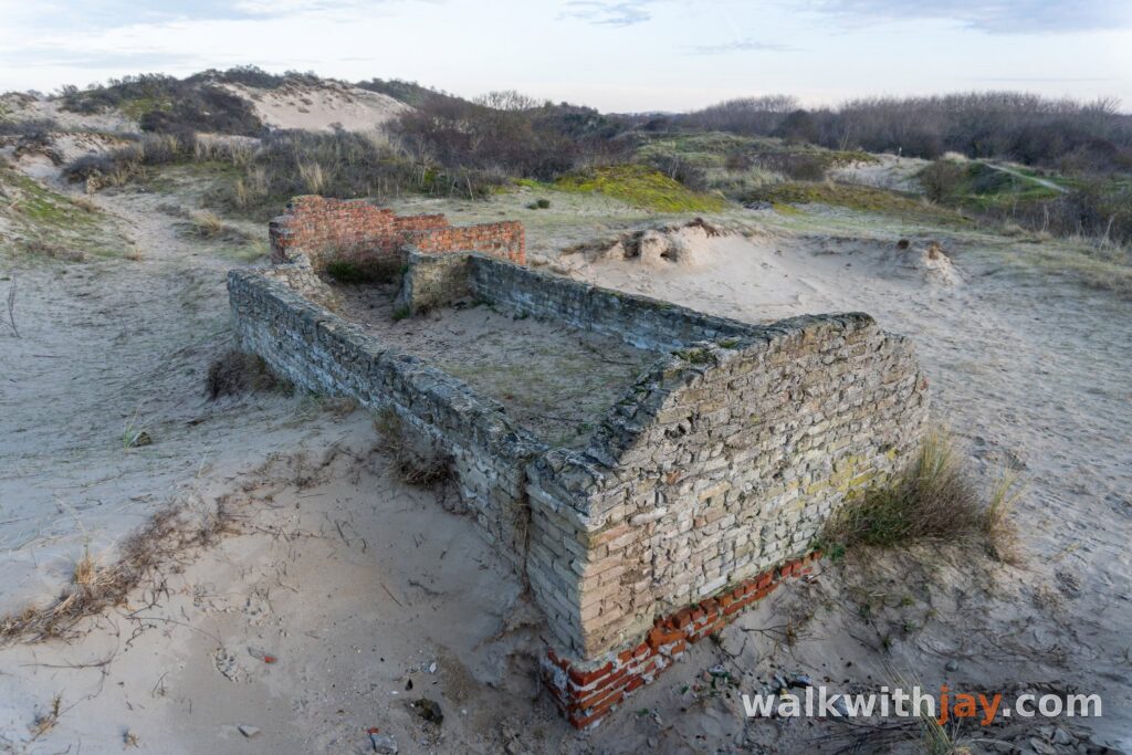
This part of the coast also contains surviving traces of the German coastal defences from the Second World War. Bunkers and remains of the former anti-tank defences are reminders that this open stretch of beach once formed part of the Atlantic Wall.
Through the Westhoek dunes
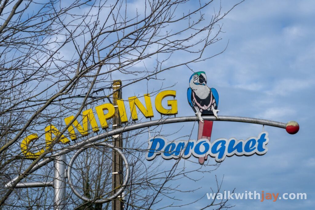
From the coast, the route heads into De Westhoek nature reserve. It is the oldest nature reserve in Flanders and, together with the French Dune du Perroquet, forms a large cross-border dune landscape.
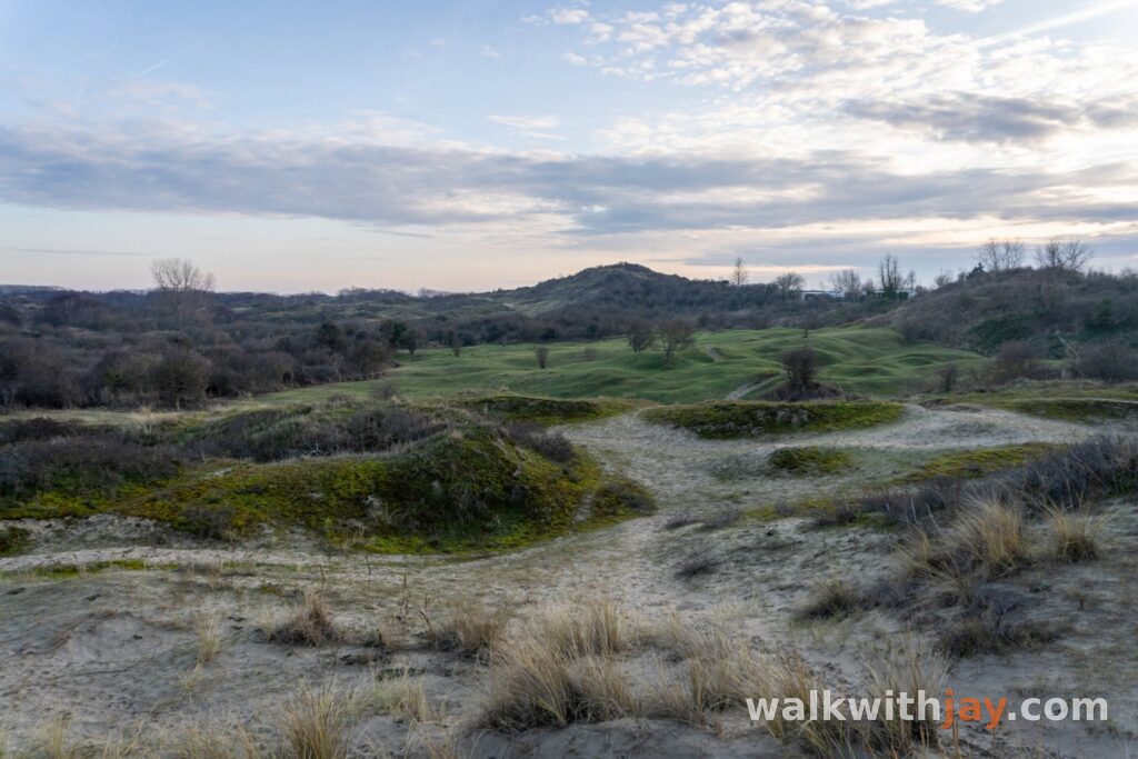
Much of this area was once known as the Sahara of De Panne. Wide expanses of bare sand and moving dunes dominated the landscape. Today, more of the reserve is covered by dune grassland and scrub, while housing, campsites and other development around its edges leave the dunes less room to move naturally.
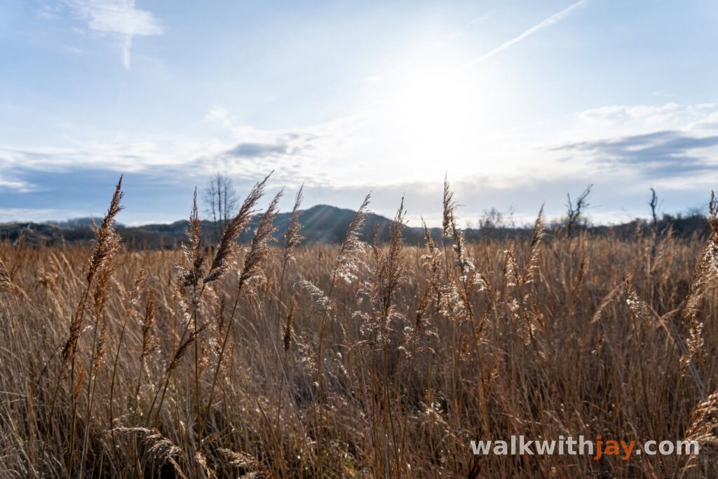
Even so, this remains my favourite part of the walk. The paths wind through dune hollows, over sandy slopes and across open stretches of landscape. Highland cattle and Konik horses also graze parts of the reserve, helping to keep the dune vegetation open.
Back across the border
At node 3, you reach the French-Belgian border again and begin the return towards Bray-Dunes.
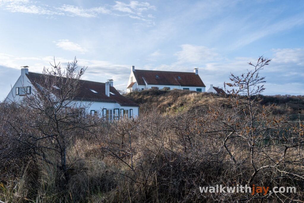
The border area looks very different from the way it did a few decades ago. Cafés and nightlife once benefited from the steady flow of people crossing between France and Belgium, but many disappeared as Europe’s internal borders became less important. Houses, small apartment buildings and campsite facilities now shape much more of the area.
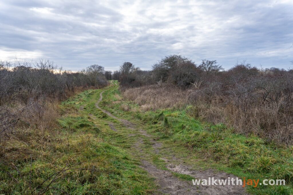
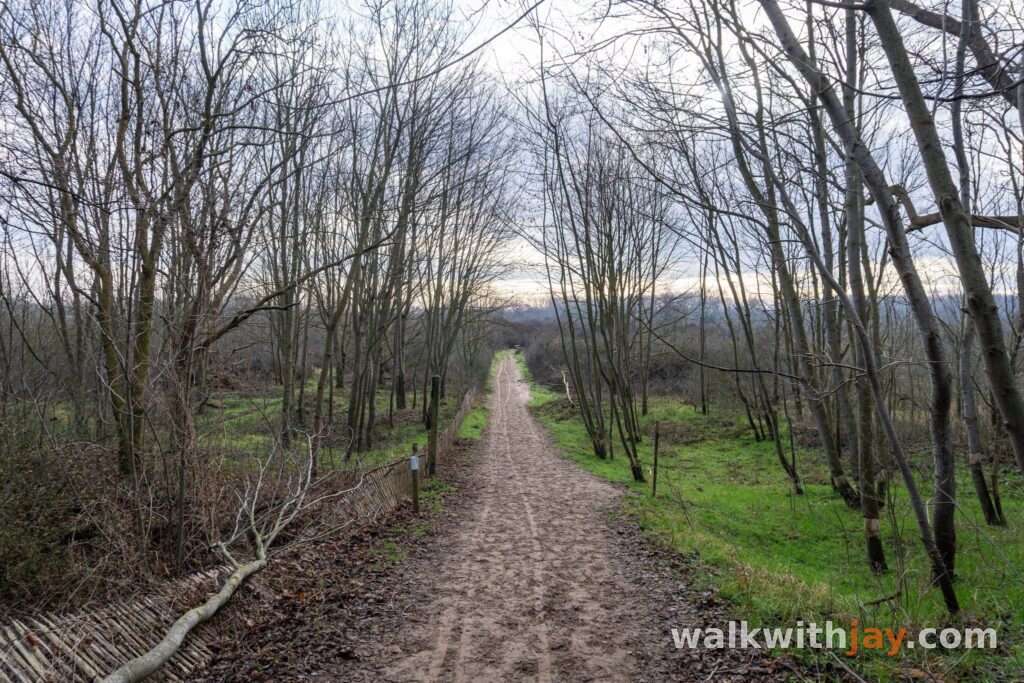
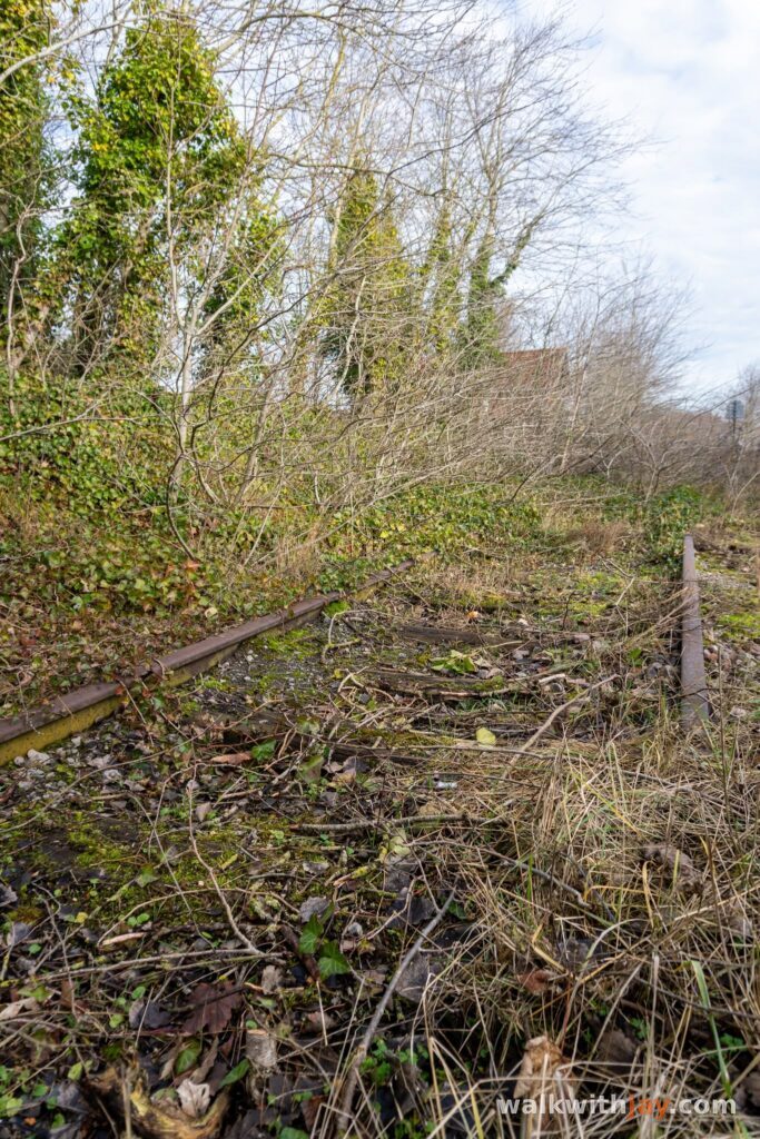
Part of the return follows the line of the former railway, now a quiet route for walkers and cyclists. If you still want more dunes, you can head back onto one of the narrower paths behind the campsite. Here the landscape becomes wilder again, with old bunkers scattered between the sand and scrub.
From there, the route returns to Bray-Dunes. With beach, open dunes, wartime remains and border history all in one loop, this is still one of the most complete walks in this corner of the coast for me.
Photos from this walk






Jay’s tips
Take your time in the Westhoek dunes between De Panne and the French border. The open sand and winding paths are, for me, the best part of this walk.
Good to know
Sturdy footwear recommended
Little shade
Waterproof footwear useful
Busy at weekends
Viewpoint
Nature observation point
Soft sand makes the walk more tiring than the distance suggests, so wear sturdy walking shoes. There is little shade, so bring enough water in warm weather. Check the tides before you go. The remains of the Empress are only visible at low tide. Stay on the permitted paths in the nature reserves and respect any closures.
My experience
I lived beside these dunes for twenty years, and returning here still feels a little like coming home. The Westhoek is where I unwind. The landscape changes with the seasons, so the same route always offers something slightly different.
Walking nodes
Wandelnetwerk Westkust / Les Dunes
Places of interest
Toiletbunker Stützpunkt Adolf
Along the route
Former German toilet bunker with a surviving inscription warning of the risk of infection.
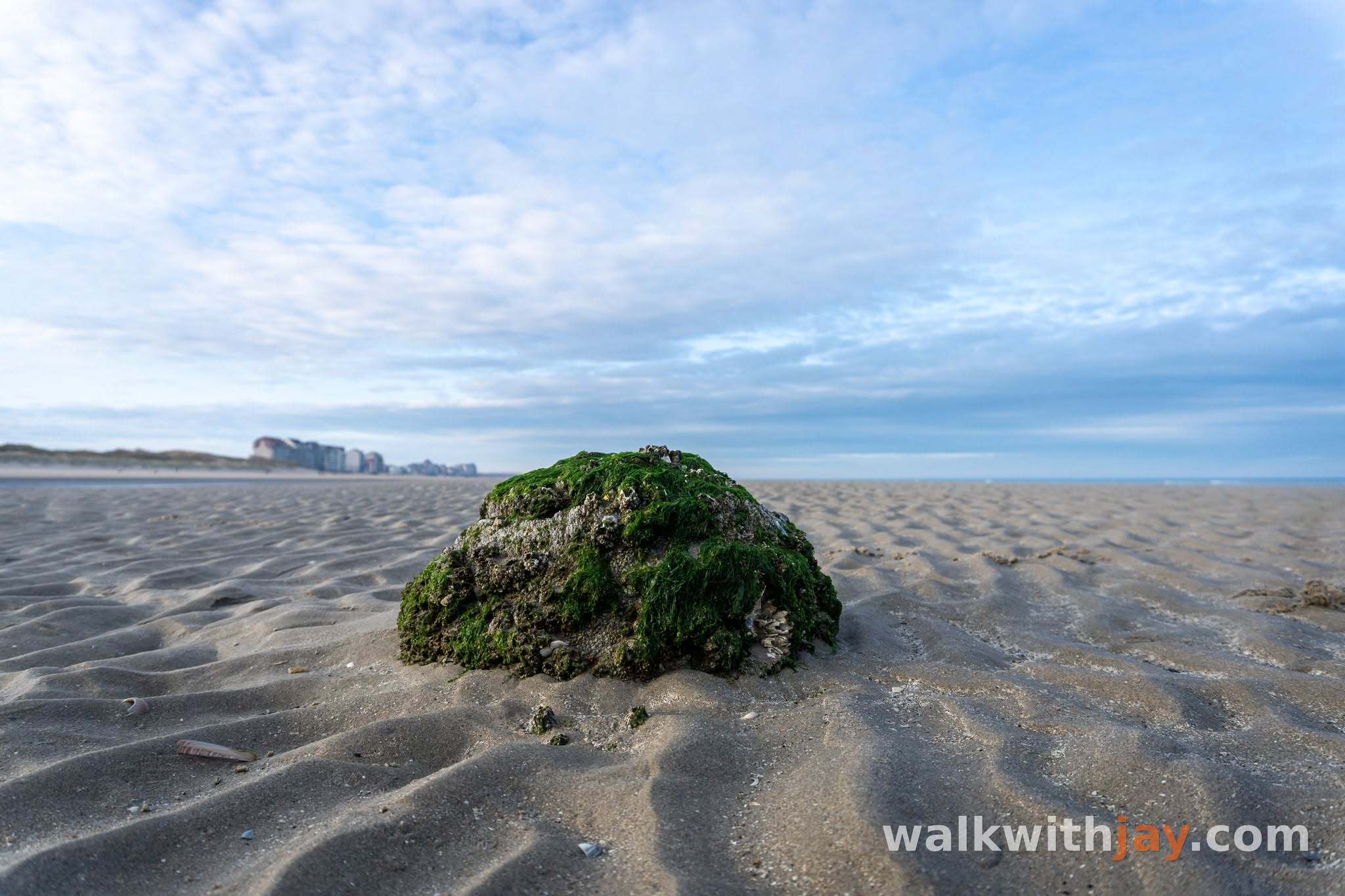
Wrakrestant Empress
Along the route
At low tide, a small metal remnant locally associated with the Empress wreck can sometimes appear; its exact identification remains uncertain.
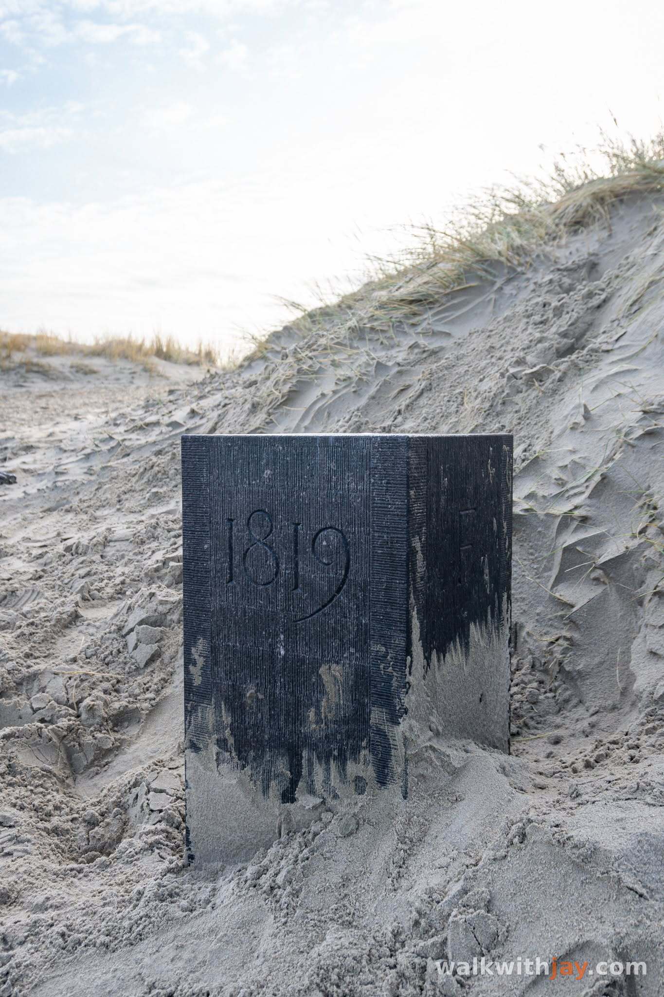
Frans-Belgische grenspaal
Along the route
A 2024 reconstruction of the 1819 boundary marker between France and the former United Kingdom of the Netherlands.
Frans-Belgische grens, strand tussen Bray-Dunes en De Panne, France ↗
Website →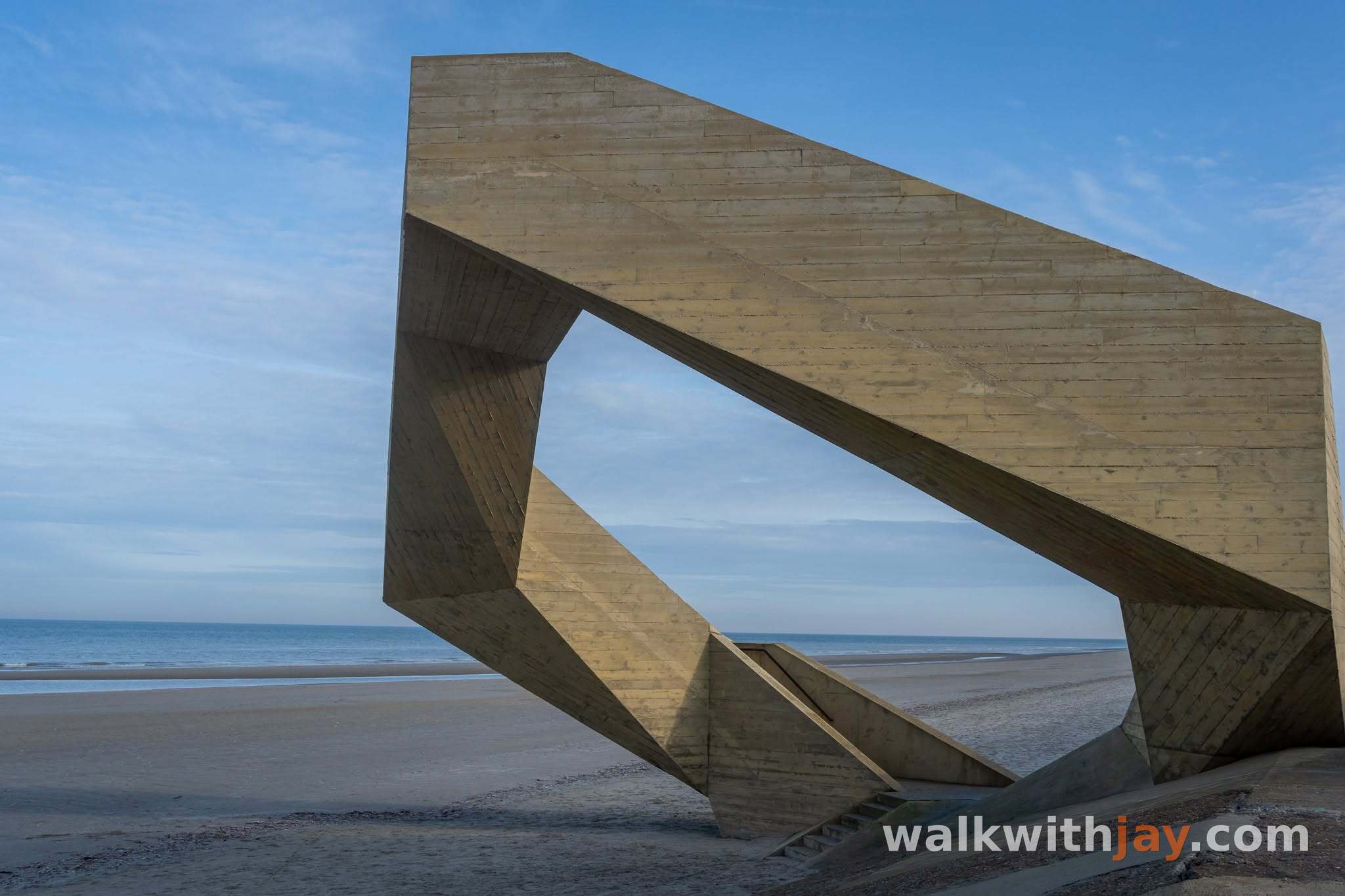
Westerpunt
Along the route
Six-metre-high concrete viewpoint opened in 2024, with panoramic views across the beach, sea and dunes.
Betonnen wandeldijk, 8660 De Panne, Belgium ↗
Website →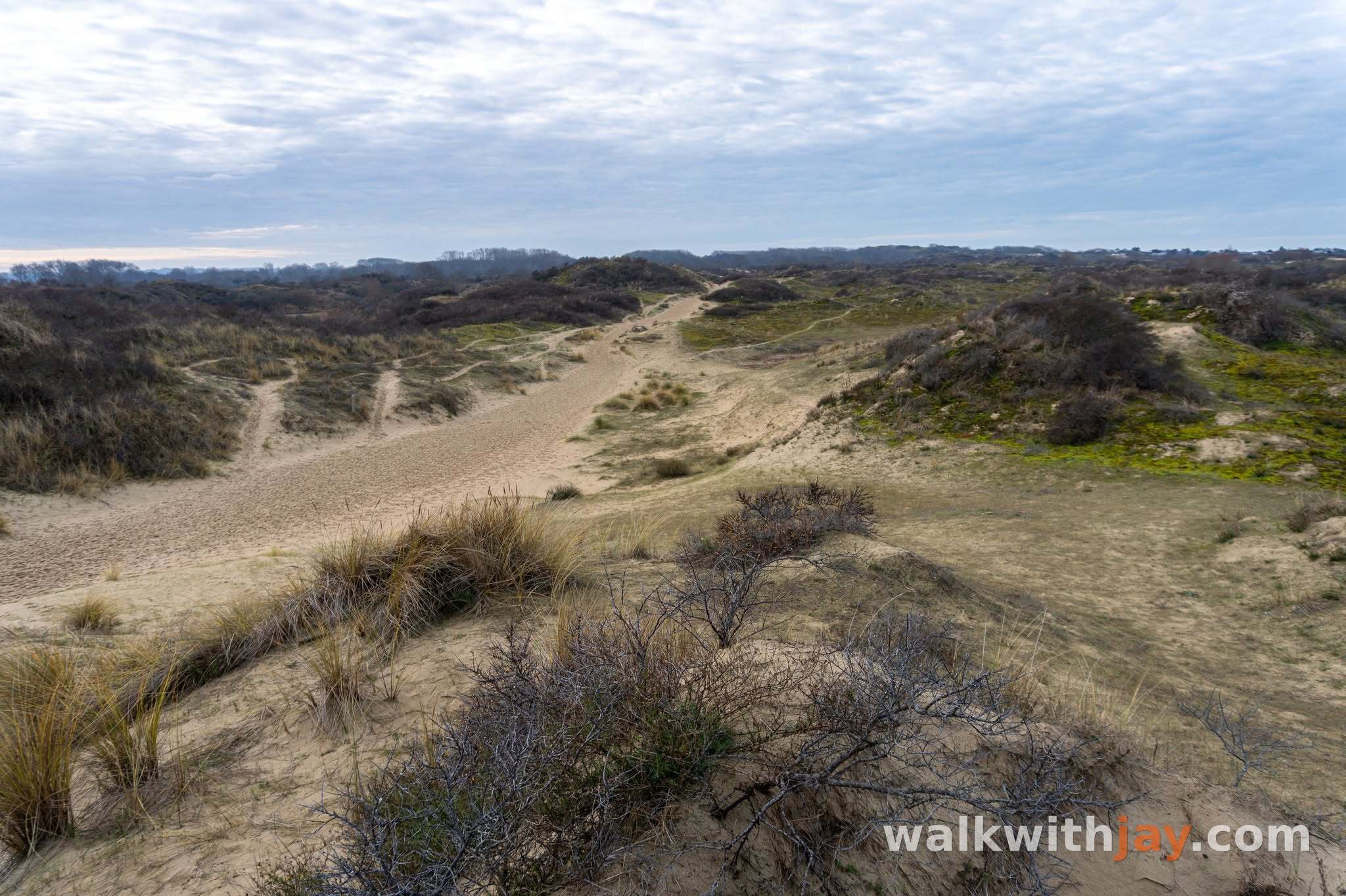
Natuurreservaat De Westhoek
Along the route
Large dune reserve beside the French border, known for open sand, dune hollows and grazing animals.
Natuurreservaat De Westhoek, 8660 De Panne, Belgium ↗
Website →Ready to set off?
Open the starting point in your GPS and enjoy the walk.