Blankaart Walking Route
Woumen
 4 min read
A wetland walk from De Blankaart Castle, following boardwalks, bird hides and observation towers through the open Yser floodplain.
The walk
The Blankaart Walking Route starts at De Blankaart Castle in Woumen and heads into the wetlands of the Yser floodplain. The official route can be walked as a shorter 5.5-kilometre loop or a longer 10-kilometre version. I ended up taking the shorter option when high water completely submerged part of the trail. I did not mind too much: for me, the best part of De Blankaart has always been the area around the pond, with its boardwalks, bird hides and observation towers.
Route map
A landscape shaped by water
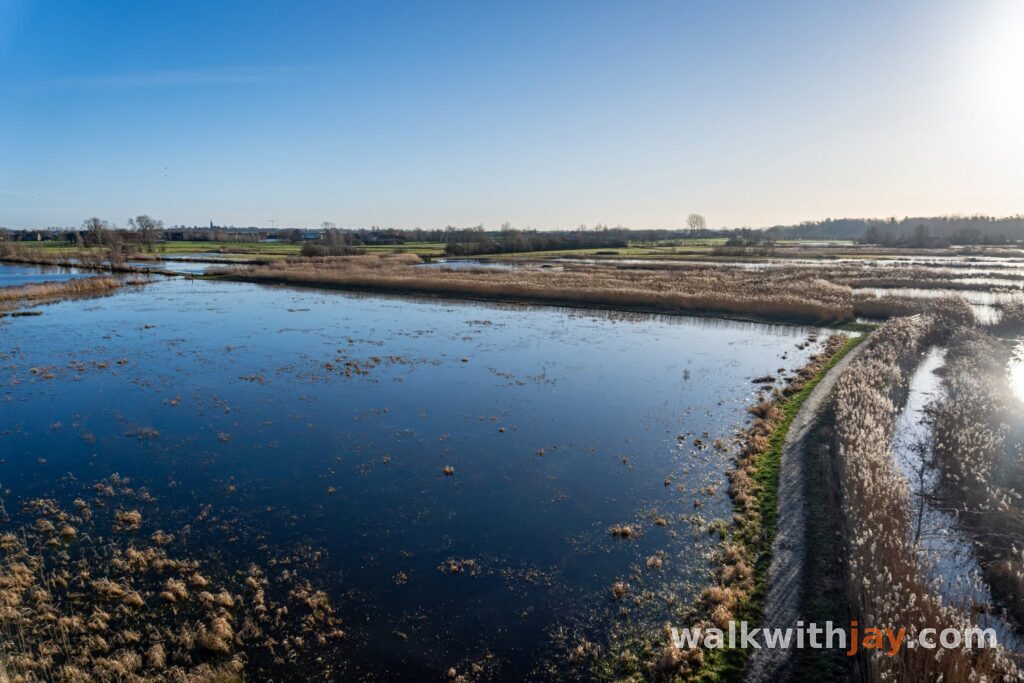
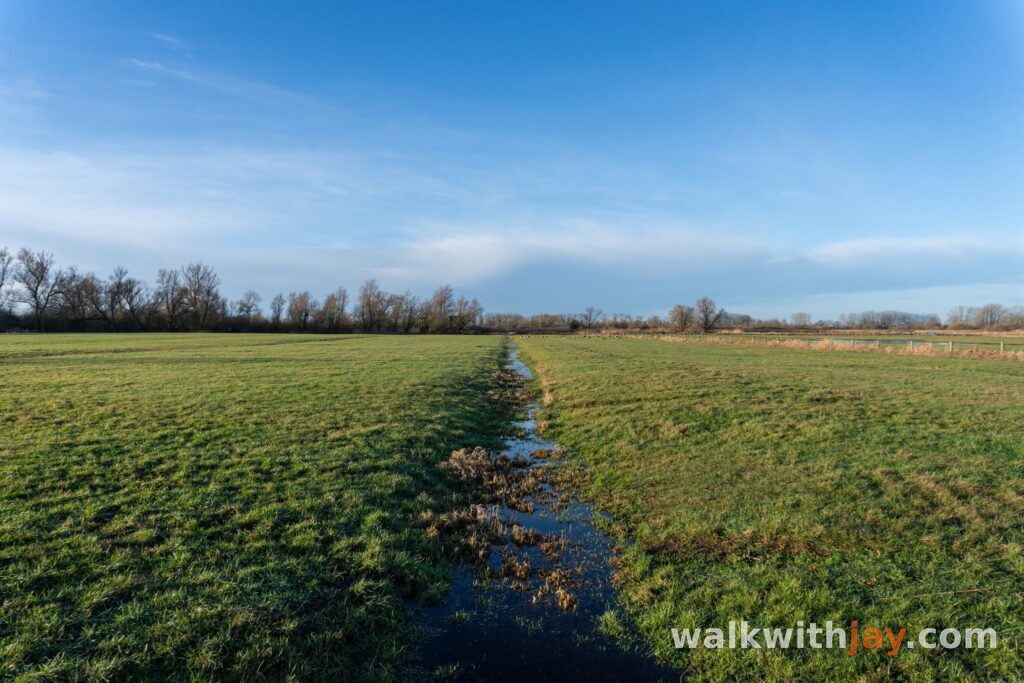
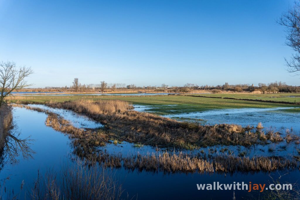
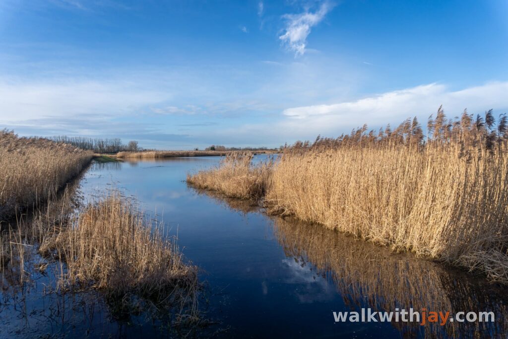
De Blankaart lies at the lowest point of the IJzerbroeken, within the natural floodplain of the Yser. When water levels rise, the surrounding hay meadows and grasslands can flood. The name Blankaart itself refers to land standing under water.
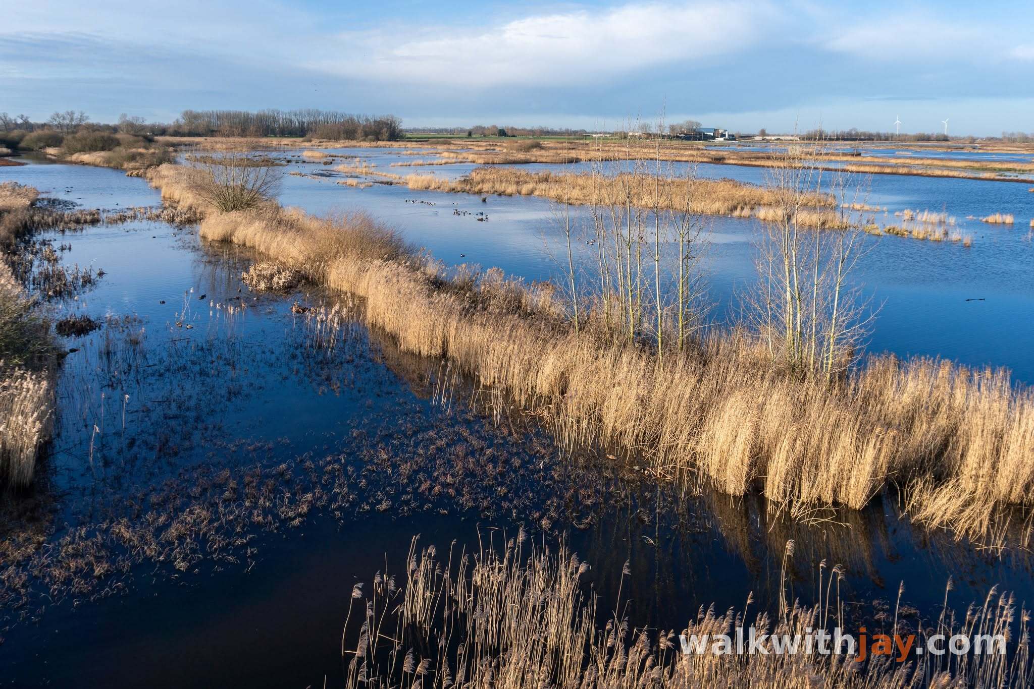
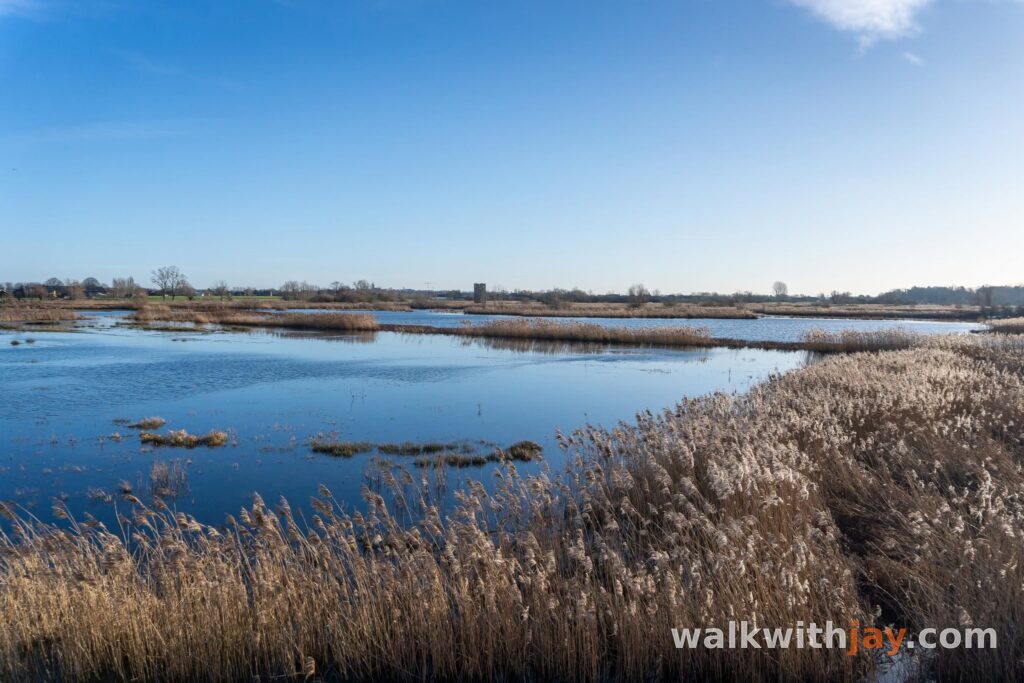
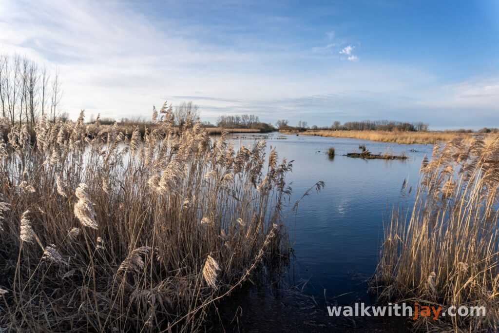
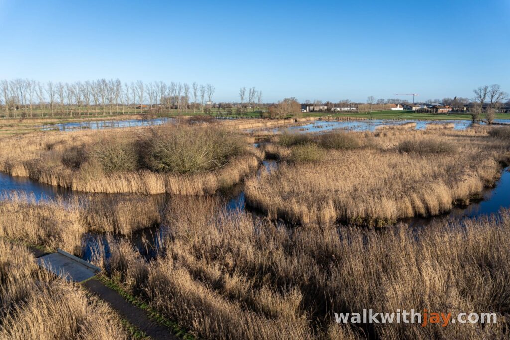
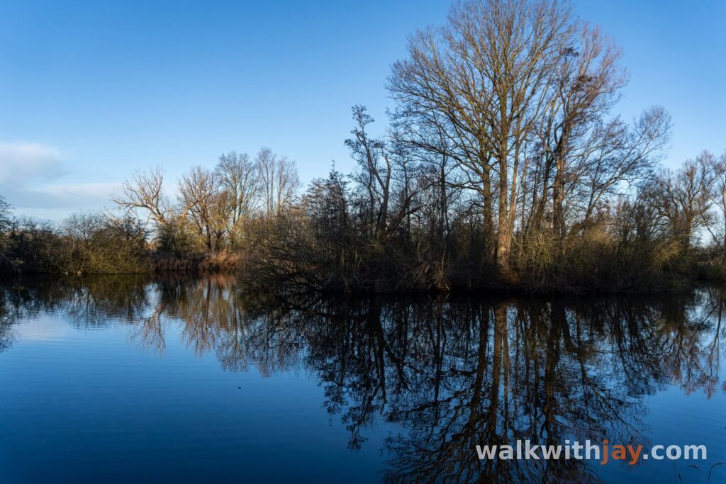
The pond is not entirely natural either. It originated through former peat extraction and was gradually shaped further by centuries of human use and water management. Today, the pond, reed beds, wet meadows and marsh woodland together form one of the most important bird areas in the Yser Valley.
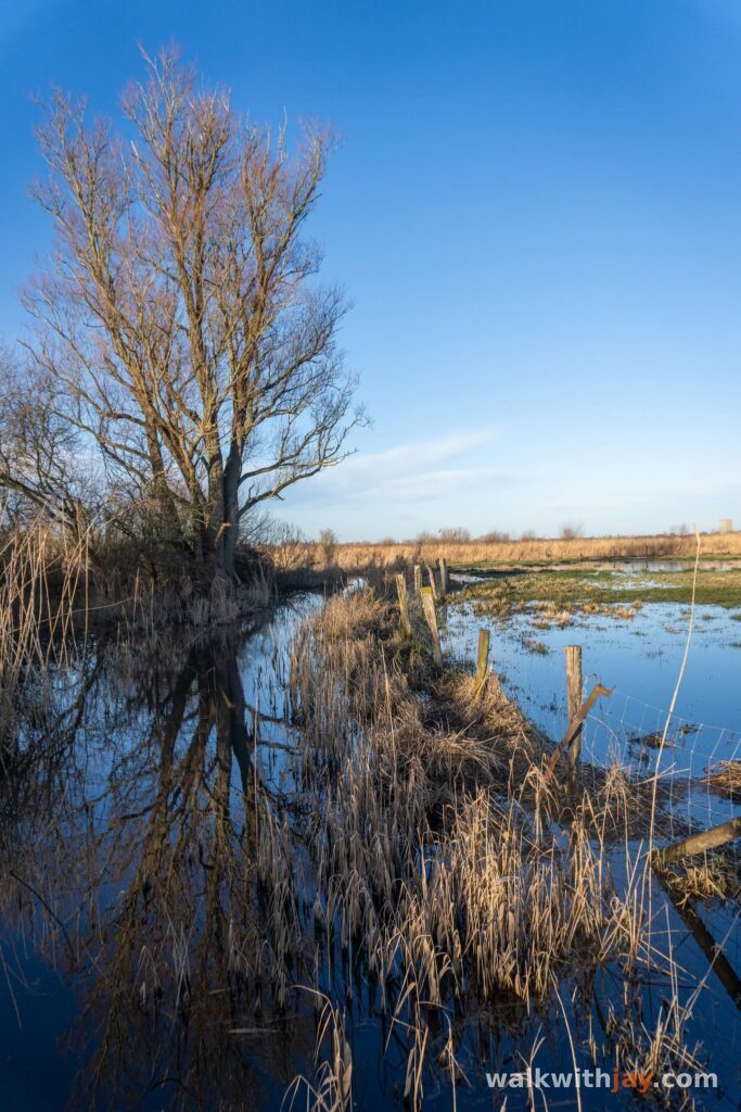
You notice that throughout the walk. Water is never far away, and the character of the landscape can change considerably with the season and the water level.
De Blankaart Castle
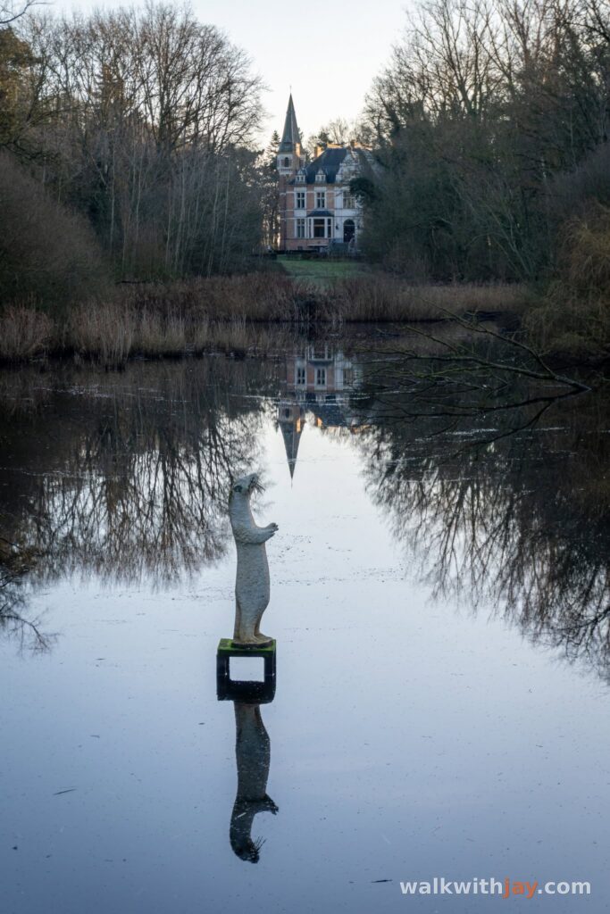
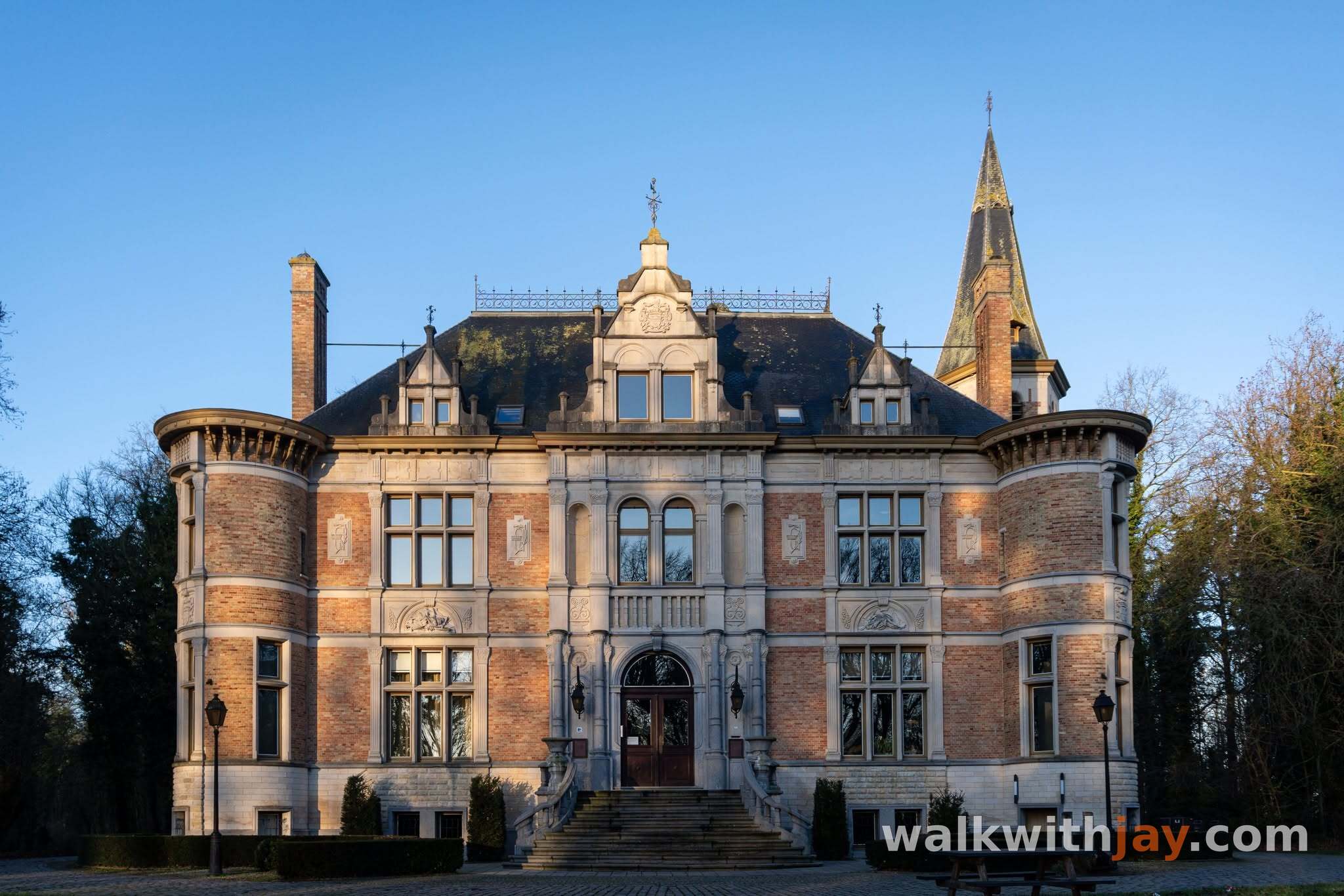
The walk starts in the park surrounding De Blankaart Castle. In the second half of the 19th century, the de Coninck de Merckem family had an eclectic-style country house built here. The landscaped grounds included stables, a coach house, a gardener’s cottage, greenhouses and a walled kitchen garden. A fish pond, ice house and duck decoy were added later.
During the First World War, the estate lay close to the front. The castle was so badly damaged that little more than its front façade was left standing. Between 1925 and 1929, it was rebuilt on a smaller and more modest scale while retaining recognisable features of the original design, including the rounded corner towers.
The roof was damaged again during the Second World War. The pointed roofs of the two round towers were lost and were never restored.
Today, the castle houses the provincial De Blankaart visitor centre, with information about the reserve and the Yser Valley. Toilets are also available here during opening hours.
Boardwalks, birds and high water
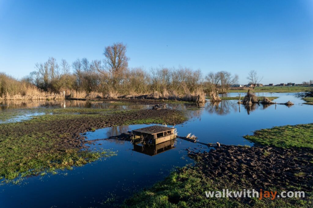
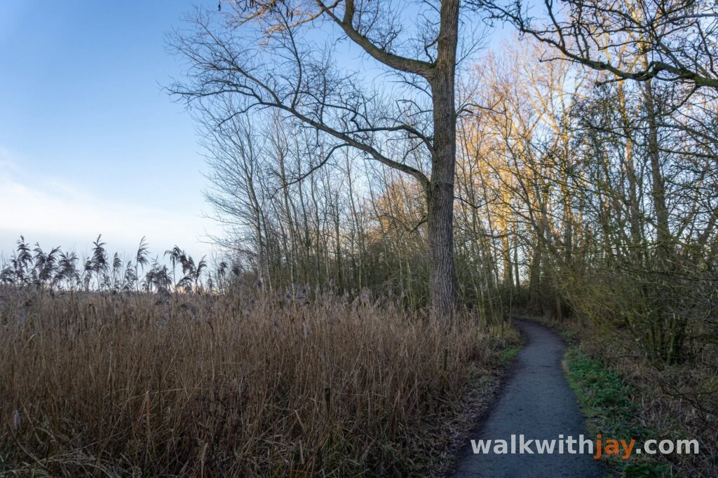
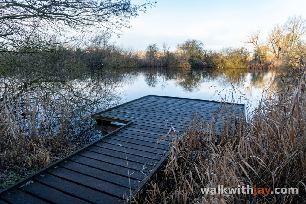
From the castle park, the route heads towards the Blankaart pond. This is the part I return for most often. Bird hides and observation points sit among the reed beds and wet grasslands, giving you quiet places to watch the wildlife or simply take in the landscape.
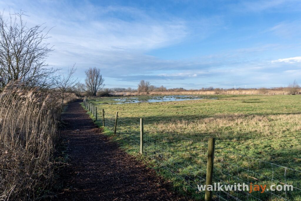
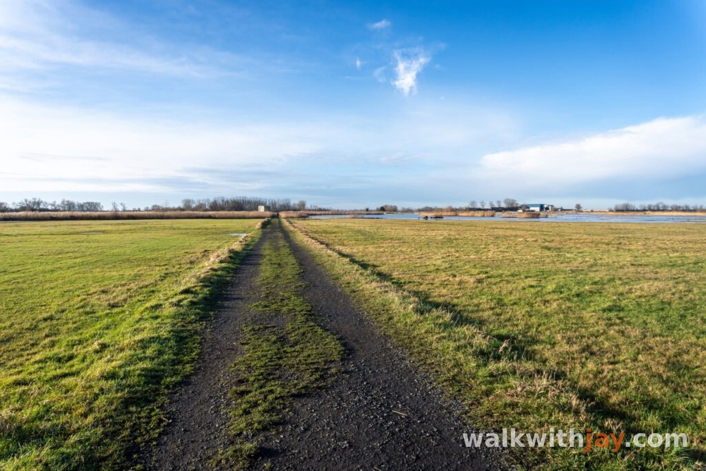
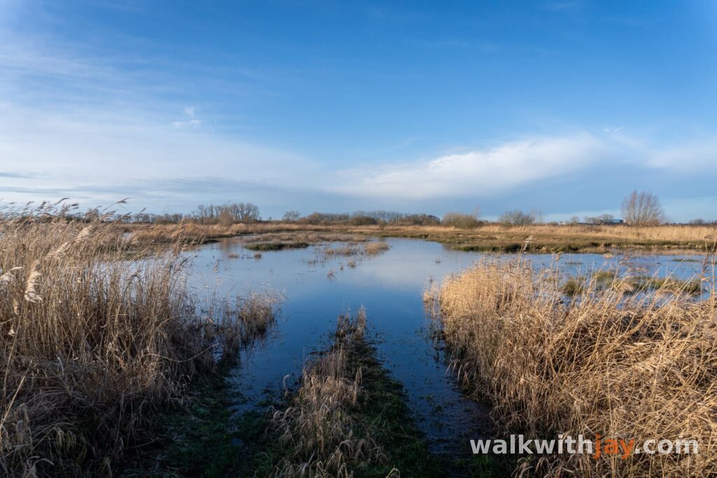
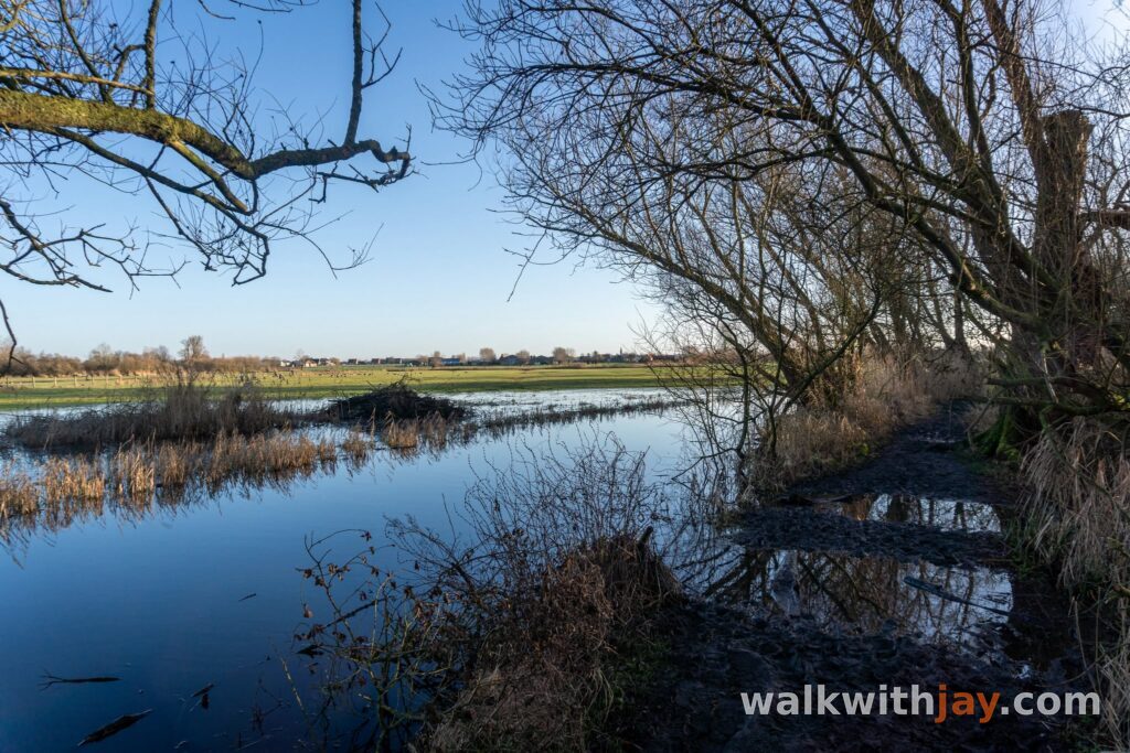
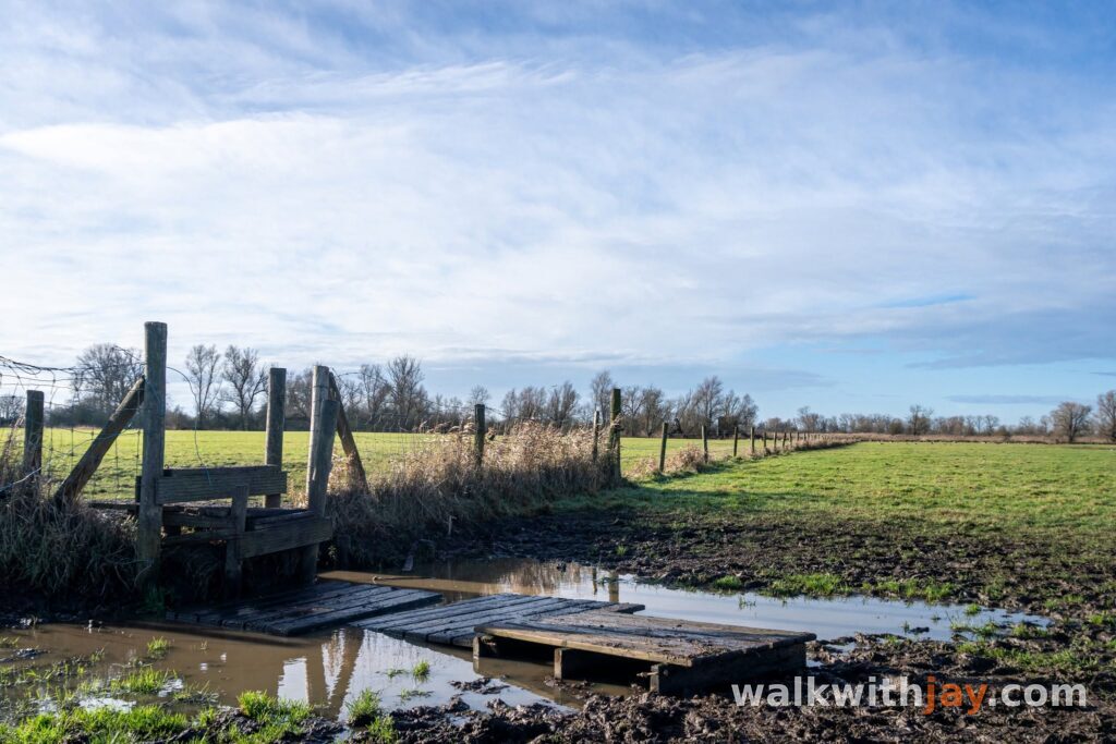
Wooden boardwalks lead through some of the wettest sections. They are one of the things that make the walk so enjoyable, but they also show how dependent the route is on water levels. After prolonged rain, the unpaved paths can become extremely muddy and some sections may even disappear under water.
That was exactly what happened on my walk. Near one of the final observation points, the trail was completely submerged. There was no sensible way through, so I turned back and completed the shorter 5.5-kilometre loop instead.
It is worth checking the current trail conditions before setting out and bringing waterproof walking shoes or boots.
The liberation of De Blankaart
Not far from the estate, a memorial wall beside the Iepersteenweg recalls a very different chapter in De Blankaart’s history.
During the First World War, the castle was occupied by German forces and the surrounding area formed part of a fortified position. On 28 September 1918, at the start of the Allied final offensive, Belgian troops attacked the Blankaart position.
After four assaults, the position was captured by men of the 20th Line Regiment, reinforced by elements of the 13th Line Regiment and led by Lieutenant Ivan Colmant. The memorial wall beside the road commemorates the fighting and the recapture of the estate.
It is a modest memorial, but it fits this walk particularly well. In a landscape now associated with quiet water and birdlife, the wartime history of the Westhoek suddenly appears again.
Photos from this walk






Jay’s tips
If you mainly come for nature, birds or photography, the shorter 5.5-kilometre loop is a good choice. For me, the best parts of De Blankaart are around the pond, the boardwalks and the observation points.
Good to know
Muddy after rain
Sturdy footwear recommended
Waterproof footwear useful
Busy at weekends
Picnic area or benches
Visitor centre or information point
Birdwatching hide or viewpoint
Bicycle parking
Castle
Memorial or commemorative monument
Nature observation point
The official Blankaart Walking Route can be walked as a 5.5 or 10-kilometre loop. After rain, paths can become muddy or temporarily flooded, so check current trail conditions before setting out. Toilets are available in the visitor centre during opening hours.
My experience
De Blankaart is somewhere I return to regularly, especially in summer and preferably later in the day. The area around the pond is easily my favourite part. The water, boardwalks, open views and observation towers make it one of those places where I often stay longer than planned, especially when I have a camera with me.
I personally find the longer route a little less interesting once it leaves the reserve and follows longer stretches of paved road between the fields. So when the high water forced me onto the shorter loop this time, I was not too disappointed.
I particularly enjoy De Blankaart around sunset. There are no dramatic climbs or constant changes of scenery, but there is plenty of space, quiet and birdlife, along with some excellent opportunities to photograph the light over the IJzerbroeken.
Walking nodes
Wandelnetwerk De Blankaart
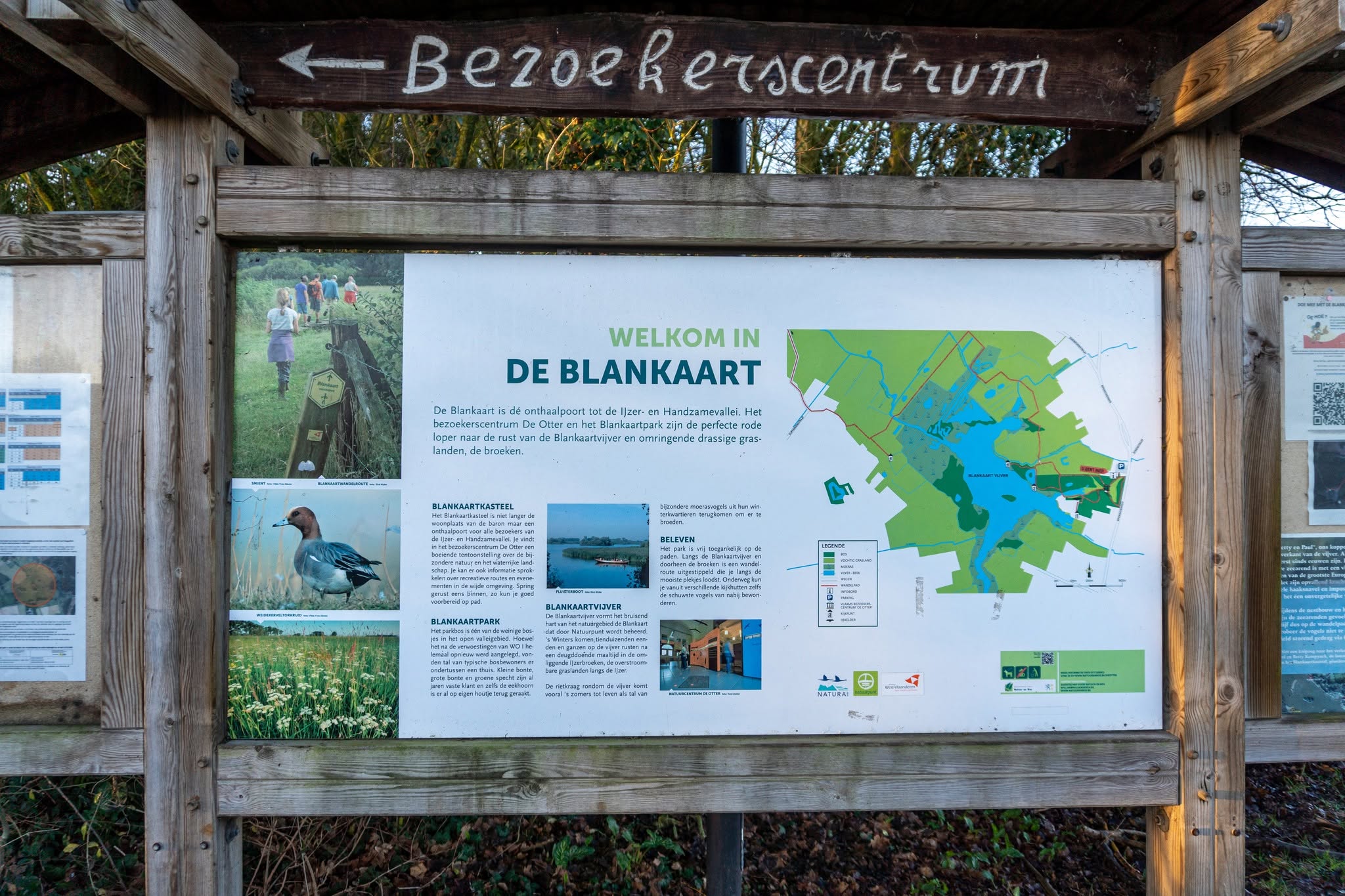
Route map available on site
Food and drink
Places of interest
Bezoekerscentrum De Blankaart
At start/finish
Visitor centre inside De Blankaart Castle, with information about the Yser Valley and toilets during opening hours.
Iepersteenweg 56, 8600 Woumen, Belgium ↗
Website →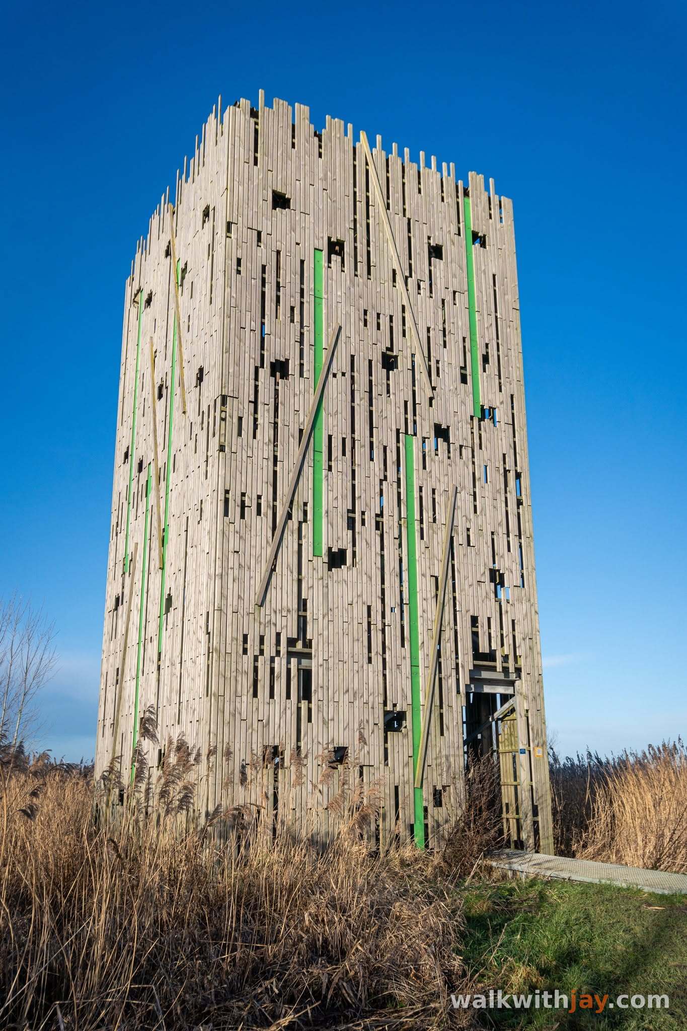
Uitkijkpunten De Blankaart
Along the route
Bird hides and observation towers along the route, overlooking the reed beds, pond and wet meadows.
Natuurreservaat De Blankaart, Iepersteenweg 56, 8600 Woumen, Belgium ↗
Website →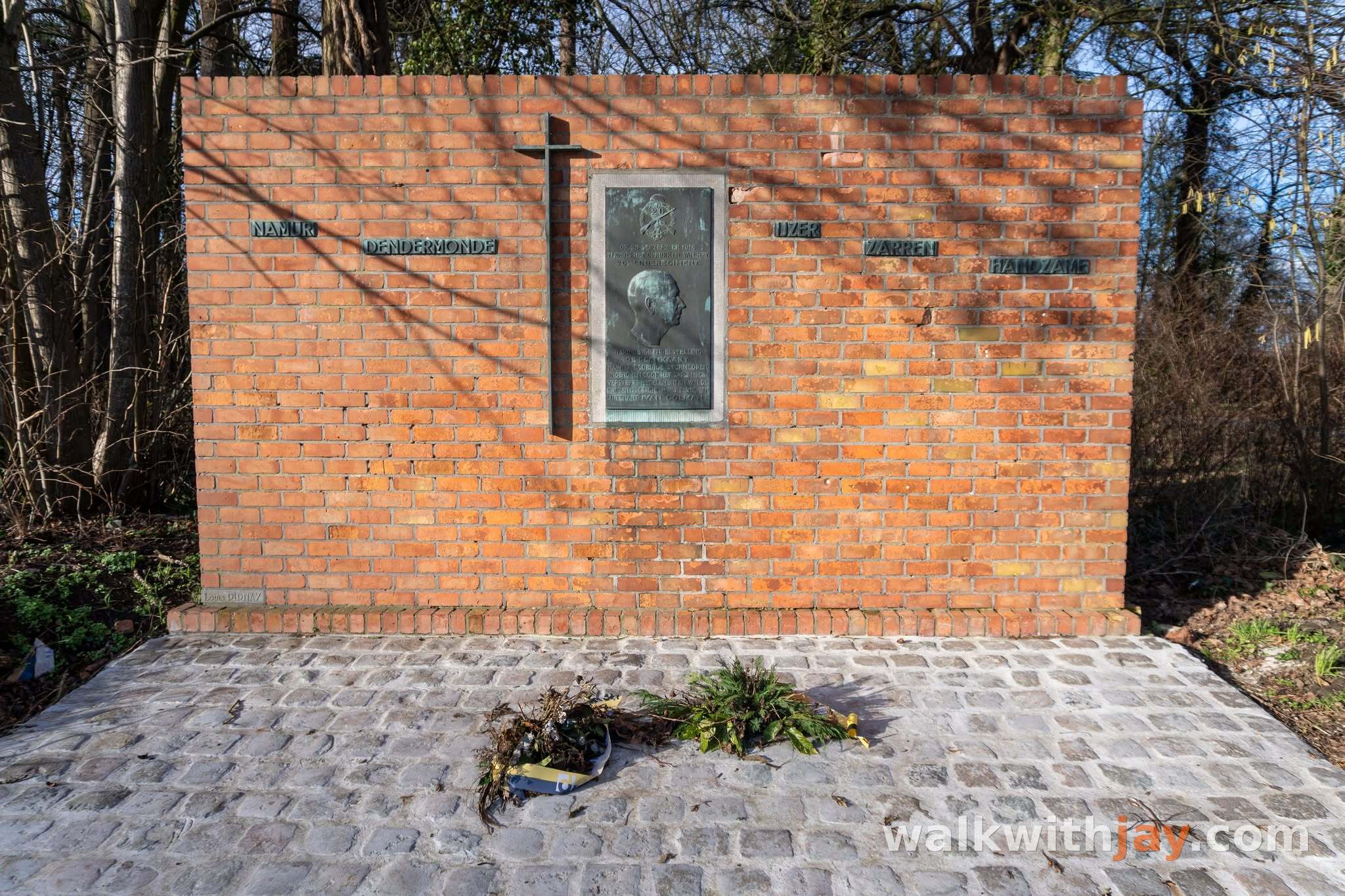
Gedenkmuur Bevrijding van de Blankaart
Along the route
Memorial wall commemorating the Belgian capture of the Blankaart position on 28 September 1918.
Iepersteenweg, 8600 Woumen, Belgium ↗
Website →Ready to set off?
Open the starting point in your GPS and enjoy the walk.