Étangs des Weppes
Fromelles
A walk between Fromelles and Aubers, with ponds, unpaved country tracks, German bunkers and the Fromelles battlefield.
The walk
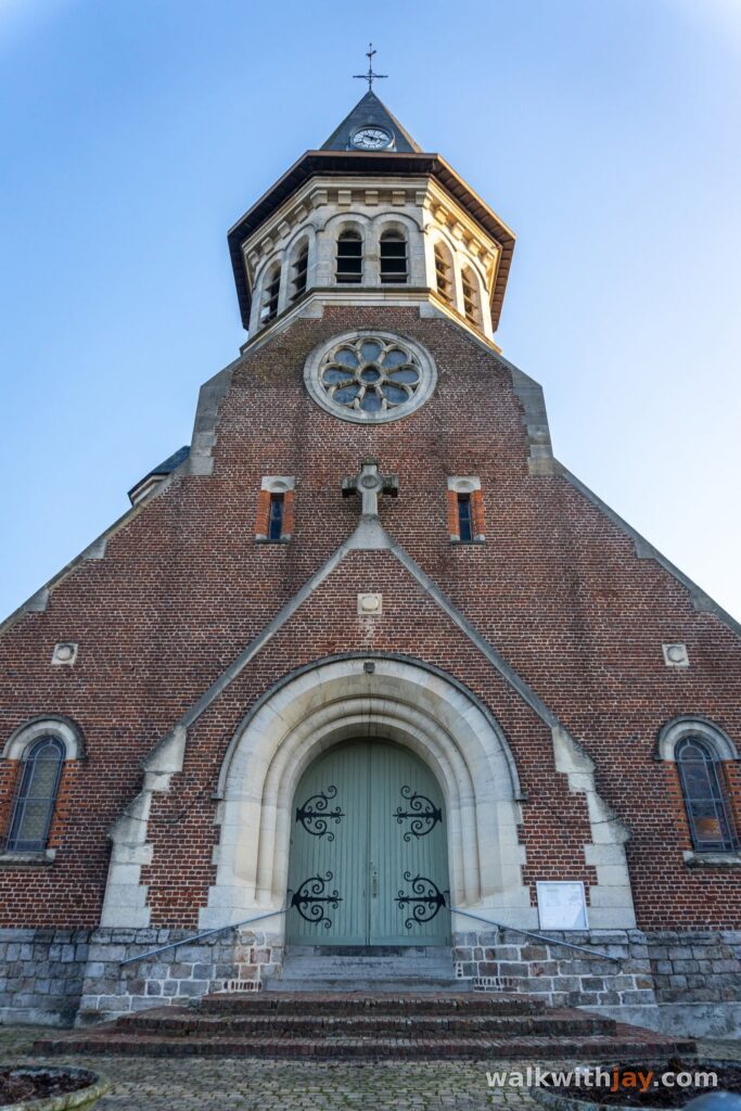
This 8.5-kilometre loop starts at the church in Fromelles and heads through Parc de l’Abbiette towards Aubers before returning across open countryside. It is an easy, quiet walk, mixing paved lanes, unpaved tracks, ponds and wide fields. At the same time, almost the entire route crosses ground that was heavily fought over during the First World War.
Parc de l’Abbiette and a persistent bunker story
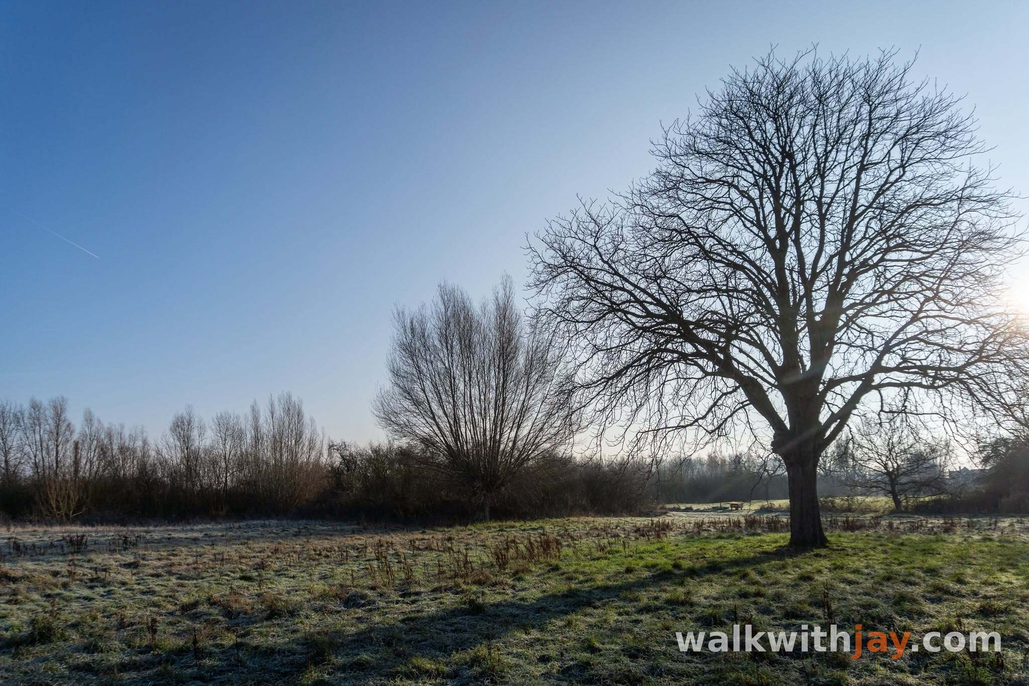
From the church, the route heads towards Parc de l’Abbiette, a peaceful green area with water, benches and walking paths. In the nearby fields stands a German bunker that for years was linked with Adolf Hitler.
I repeated that story myself in an earlier post, but further research showed that it was incorrect. The Abbiette bunker is a Müller-type casemate dating from 1917. Hitler had served in this sector earlier in the war, so this cannot have been the bunker he used during his time at the front.
Hitler did return to the Fromelles area in June 1940 and was photographed at several places connected with his First World War service. Some of those photographs were later incorrectly linked to bunkers that still survive today. For me, it is a good example of why local history is worth checking carefully before passing a story on.
From Fromelles to Aubers
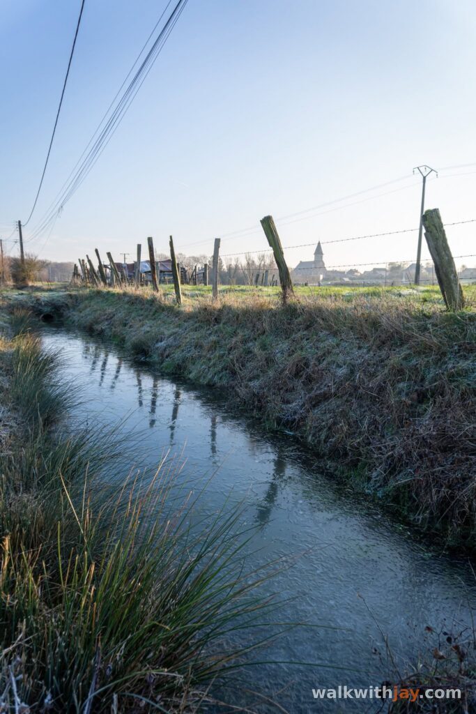
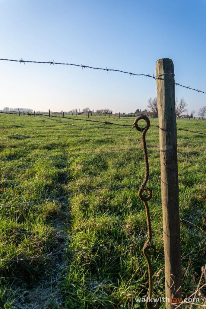
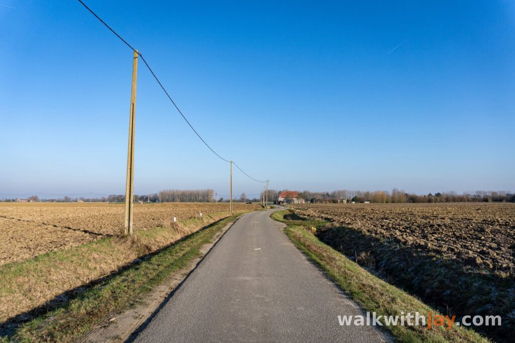
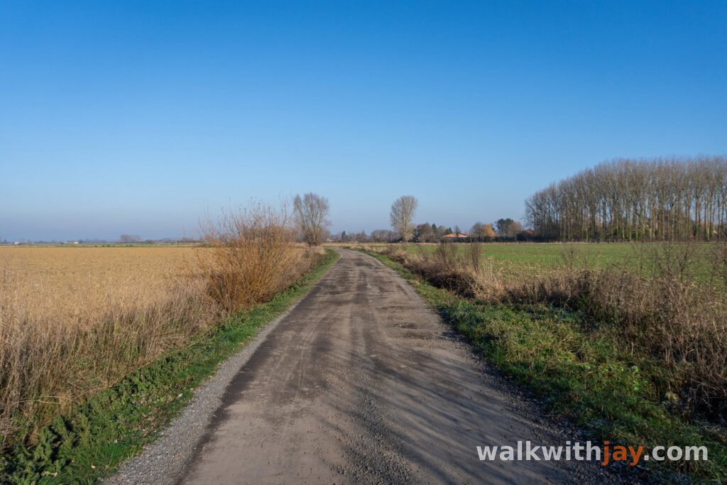
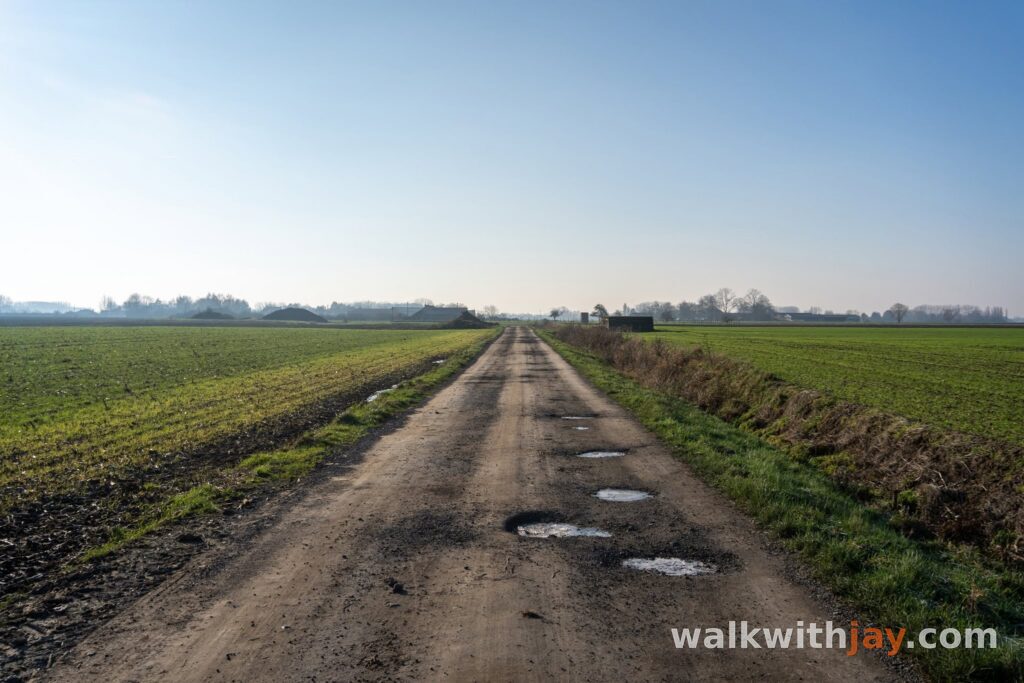
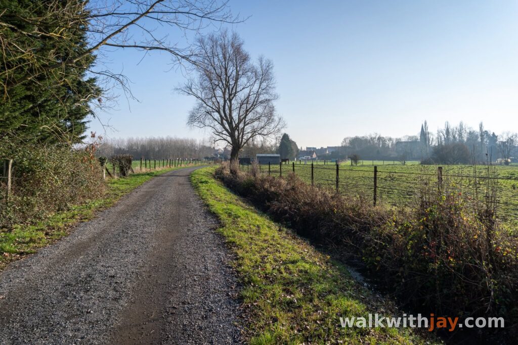
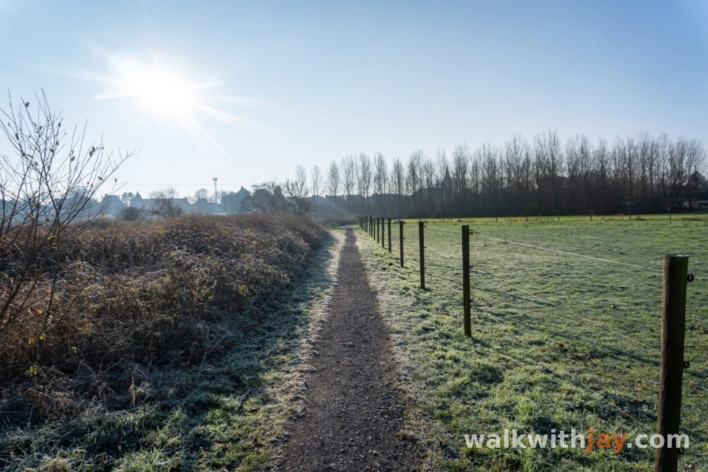
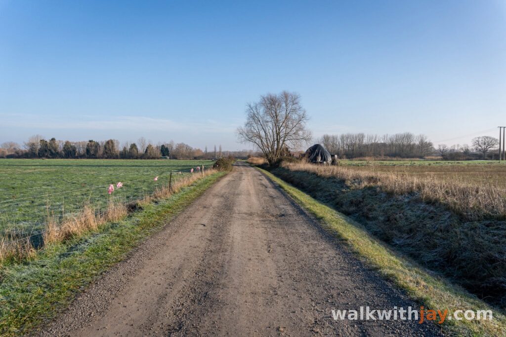
Beyond the park, the walk leaves Fromelles along quiet country lanes. Paved sections alternate with unpaved tracks between fields, pasture and private fishing ponds.
The area feels remarkably peaceful. Several nearby woods are privately owned and some are used for hunting, so during the season you may occasionally hear shots in the distance. If you bring a dog, it is best to keep it on a lead and stay on the public paths.
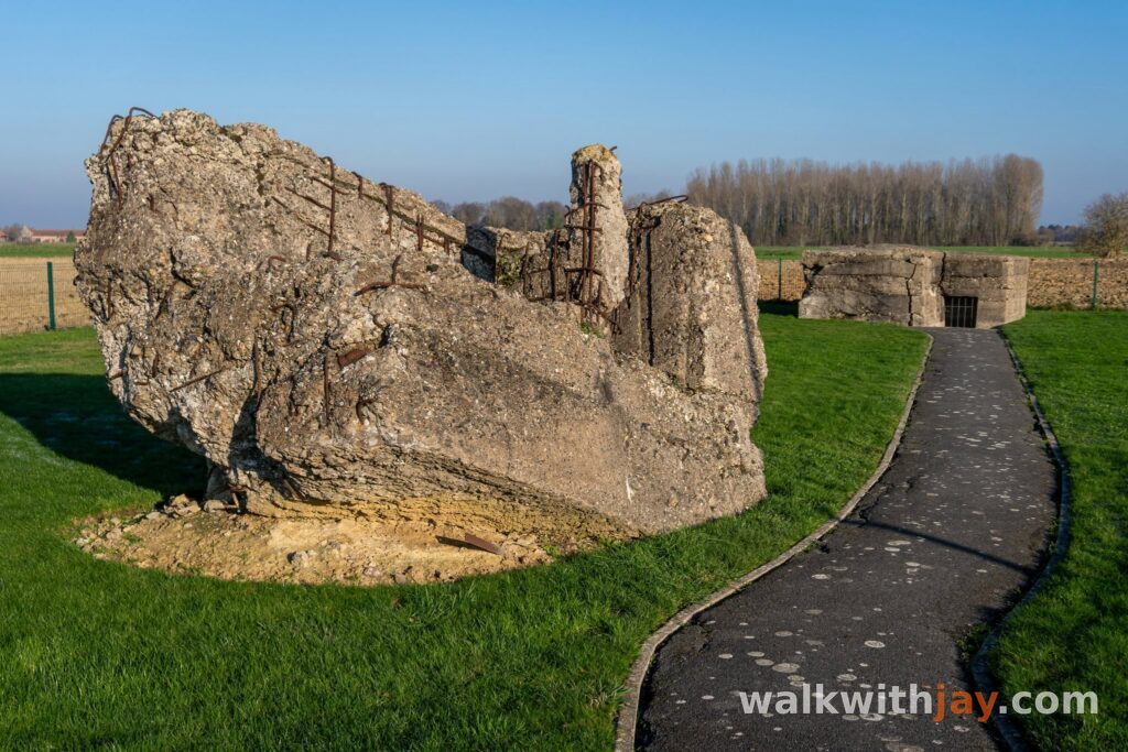
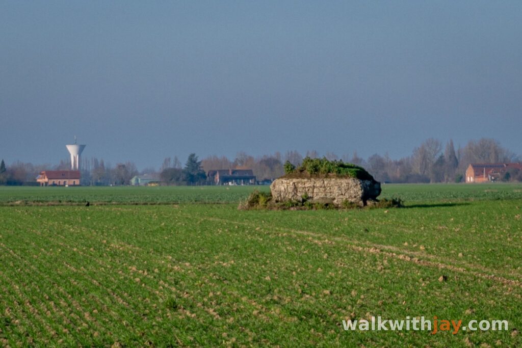
Several German concrete shelters also survive along the way. They are only fragments of what was once a much denser defensive landscape of trenches, wire and blockhouses.
Eventually you reach Aubers. There are a few shops and places to find food or drink in the village. A little farther on, the Étangs Louis Castelein make a very pleasant place to stop.
The ponds at Aubers
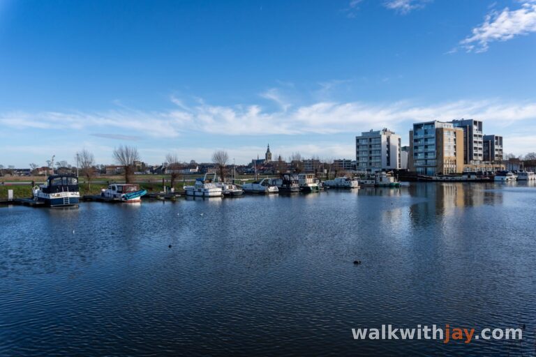
The Étangs Louis Castelein were one of my favourite stops on the walk. There are benches and picnic areas beside the water, a playground nearby and a public toilet at the recreation area.
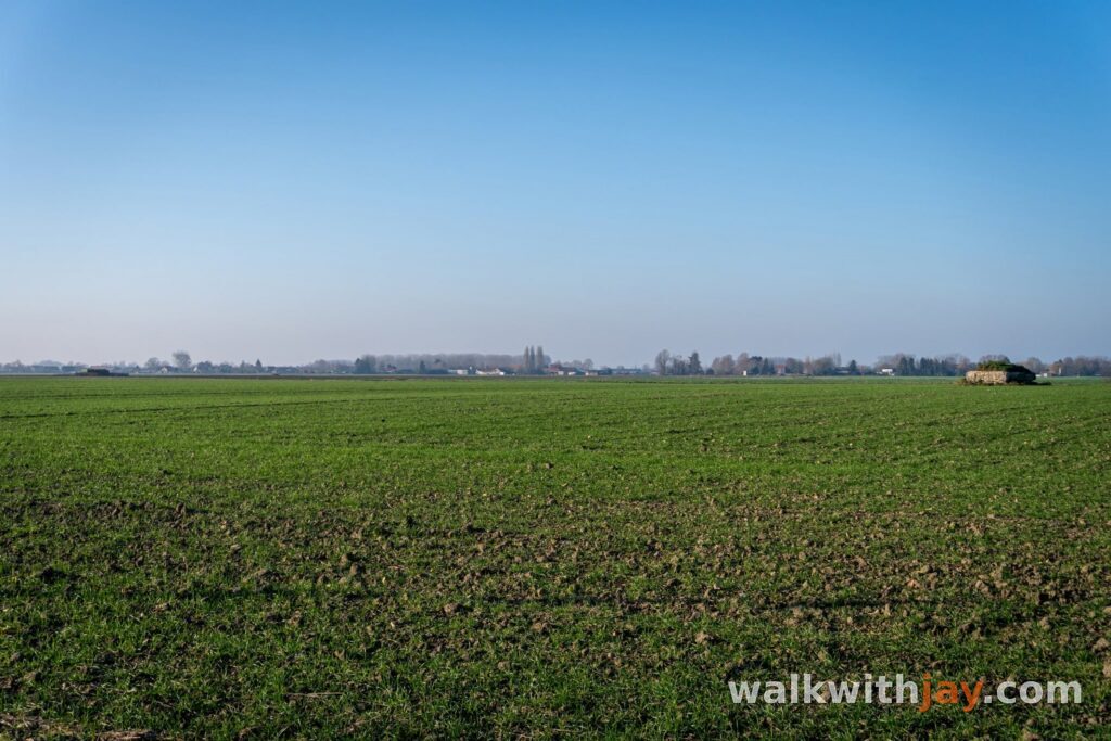
From the ponds, the route returns to the open countryside. Here you cross ground that formed part of a heavily developed German defensive zone during 1915 and 1916.
Only a small fraction of those fortifications remains visible above ground today. A few bunkers and subtle wartime traces still appear along the route, but the countryside has become so quiet again that it can be difficult to imagine just how heavily contested this area once was.
Across the Fromelles battlefield
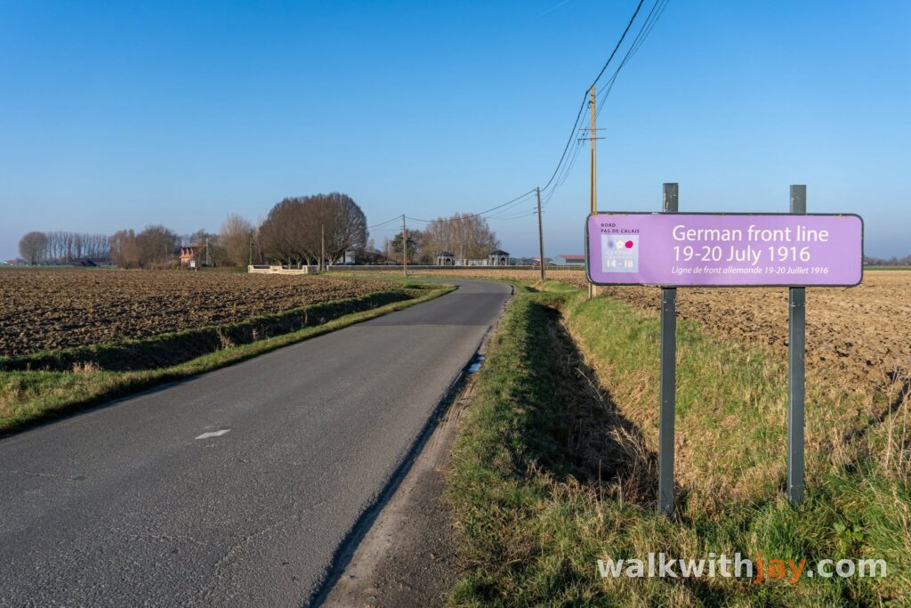
The return towards Fromelles crosses the area where the Battle of Fromelles was fought on 19 and 20 July 1916. The attack by the 5th Australian Division and the British 61st Division was intended as a diversion during the Somme offensive, but it ran into strongly prepared German positions.
In less than a day, the Australians suffered 5,533 casualties and the British around 1,500. The landscape was then covered with trenches, barbed wire and concrete defences. Today, only scattered bunkers, cemeteries and memorials make the former battlefield immediately visible.
Close to the route are Australian Memorial Park and V.C. Corner Australian Cemetery. If you want more context after the walk, the Museum of the Battle of Fromelles is also well worth visiting.
Photos from this walk

Jay’s tips
If you still have time after the walk, combine it with a visit to the Museum of the Battle of Fromelles. After walking through the fields, the museum makes it much easier to understand what happened in the landscape you have just crossed.
Good to know
Muddy after rain
Sturdy footwear recommended
Little shade
Picnic area or benches
Playground
Museum nearby
Church
Military heritage
Cemetery
War cemetery
Memorial or commemorative monument
Unpaved sections can become muddy after rain. At the Aubers ponds there are benches, a playground and a public toilet.
My experience
What I liked most about this walk was the peace and quiet. Outside the villages I saw very few other walkers, and traffic on the small country roads was light. The sections around Parc de l’Abbiette and the ponds at Aubers were the most enjoyable for me.
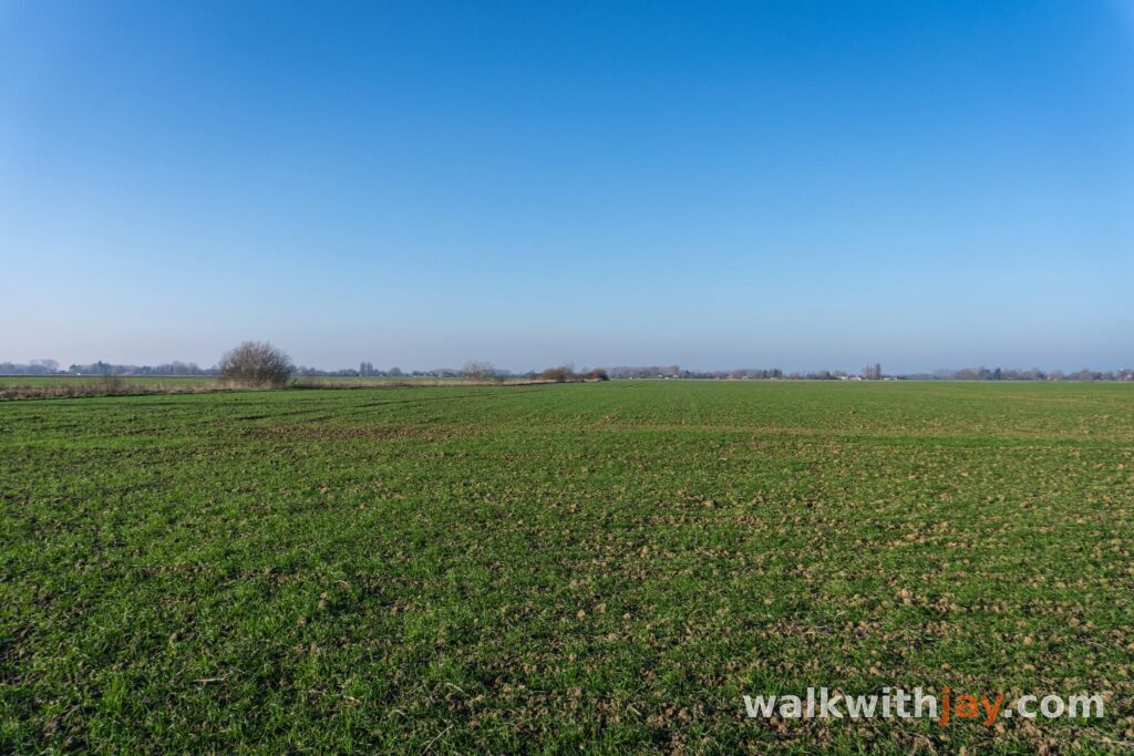
The long stretch across the fields is less impressive as pure nature, but the open views and the history keep it interesting. Once you know you are following part of the former German front, you start looking at the surviving bunkers and small changes in the ground differently.
I also noticed how considerate most drivers and cyclists were on the shared roads, slowing down and giving plenty of room when passing.
For me, this is a good, peaceful walk with a strong balance of countryside and wartime history.
Waymarking
Les Étangs des Weppes
Walking or route sign present
The official route is waymarked. The older official route sheet describes an 8.5-kilometre loop, while the current Rex Tourisme page now lists the walk as 10 kilometres.
Places of interest
Parc de l’Abbiette
Along the route
Peaceful nature area with a pond and walking paths on the edge of Fromelles.
Rue de la Biette, 59249 Fromelles, France ↗
Website →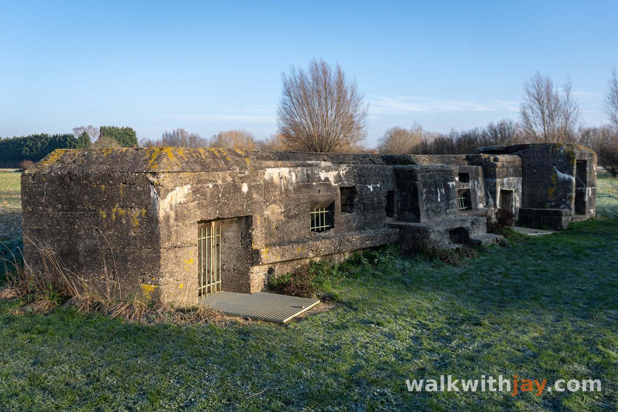
Bunker de l’Abbiette
Along the route
German Müller-type casemate dating from 1917, often incorrectly linked with Hitler’s wartime service at Fromelles.
Rue de la Biette, 59249 Fromelles, France ↗
Website →
Étangs Louis Castelein
Along the route
Ponds and recreation area with benches, a playground and a public toilet.
Rue Basse, 59249 Aubers, France ↗
Website →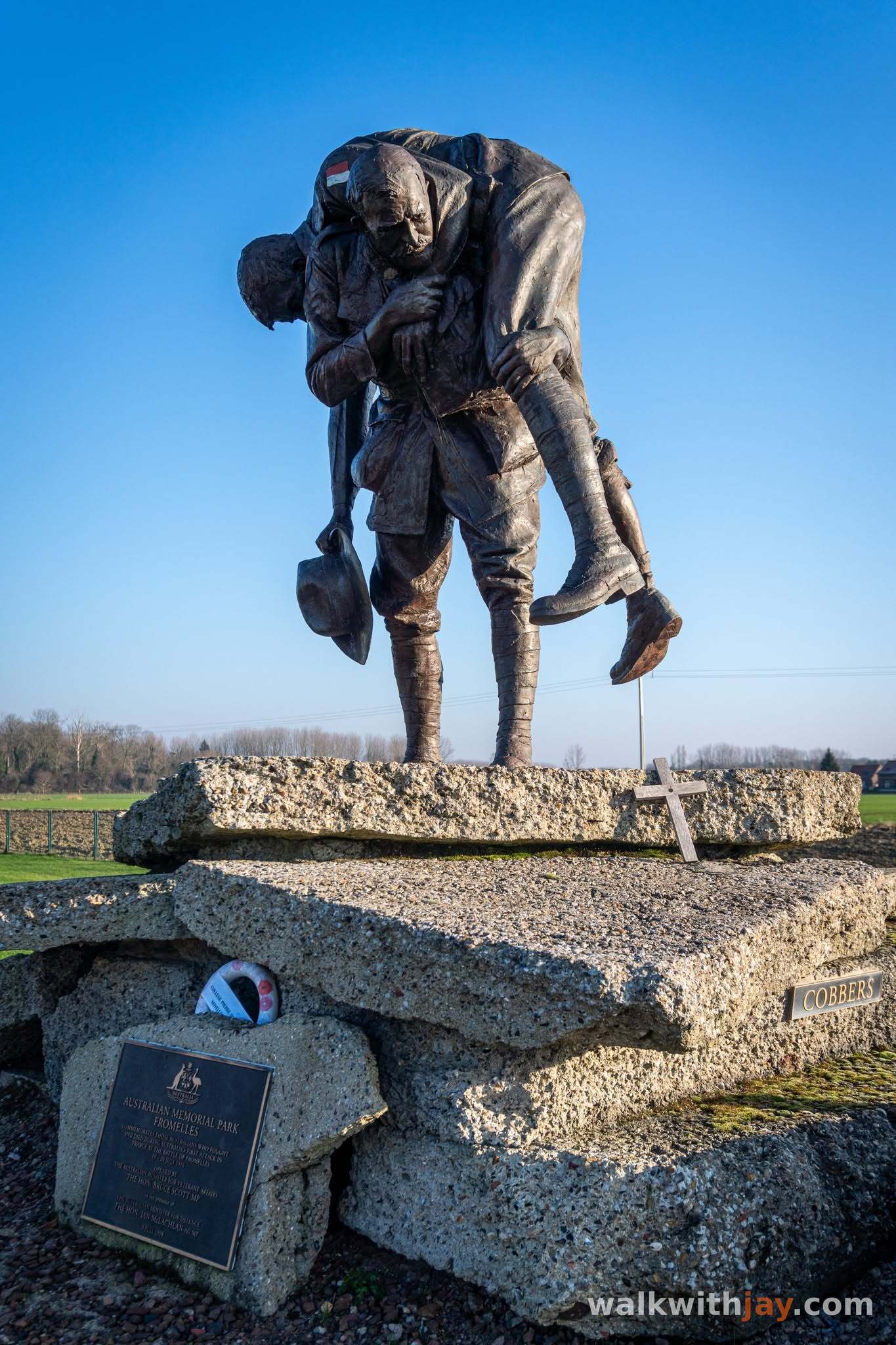
Australian Memorial Park
Nearby
Memorial site on the former German front line with the Cobbers monument and surviving bunkers.
Rue Delval, 59249 Fromelles, France ↗
Website →
Musée de la Bataille de Fromelles
Nearby
Museum covering the Battle of Fromelles and the discovery and identification of the soldiers recovered from the Pheasant Wood mass graves.
Rue de la Basse Ville, 59249 Fromelles, France ↗
Website →Ready to set off?
Open the starting point in your GPS and enjoy the walk.