Kemmel Junction Walk
Kemmel
 4 min read
A varied walk through the hills around Kemmel, with woodland, viewpoints, quiet paths and stories from both world wars woven into the landscape.
The walk
Around Kemmelberg, I never have to look far for a good walk. This roughly 9-kilometre loop combines several of my favourite sections around Kemmel and Monteberg: woodland, open fields, hills, muddy paths and viewpoints. History is never far away either, with bunkers, memorials and personal stories from both world wars appearing throughout the landscape.
Into the woods via Lettenberg
I start at the Command Bunker at the foot of Kemmelberg. Heading past De Lork, you soon reach the woodland, where the route becomes quieter and greener.
The Lettenberg bunkers appear not long afterwards. Four concrete shelters dating from 1917 survive here. They served as entrances to a British underground headquarters complex dug into the hillside. During the German offensive of April 1918, the bunkers fell into German hands and at least one was later used as a medical post.
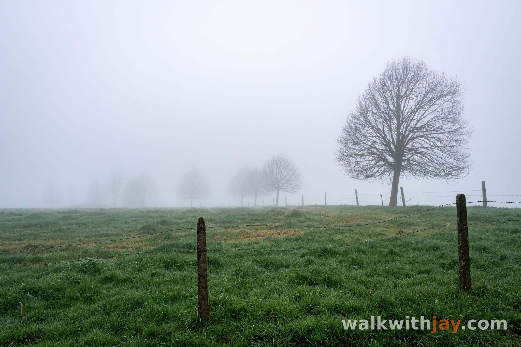
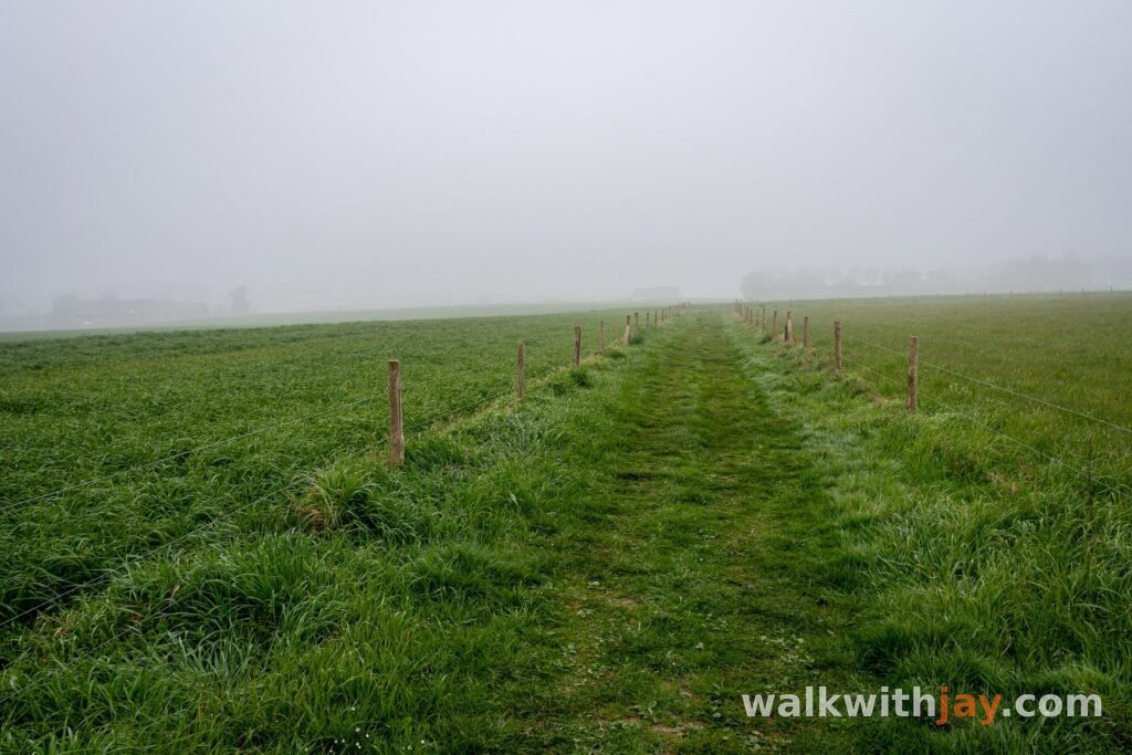
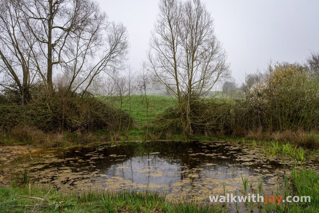
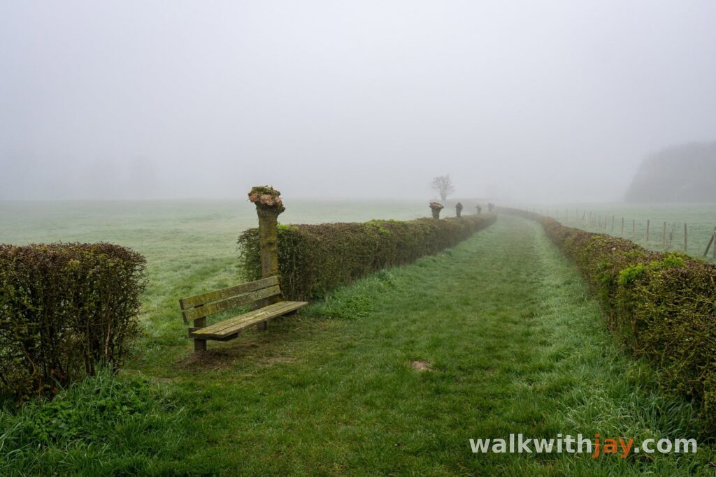
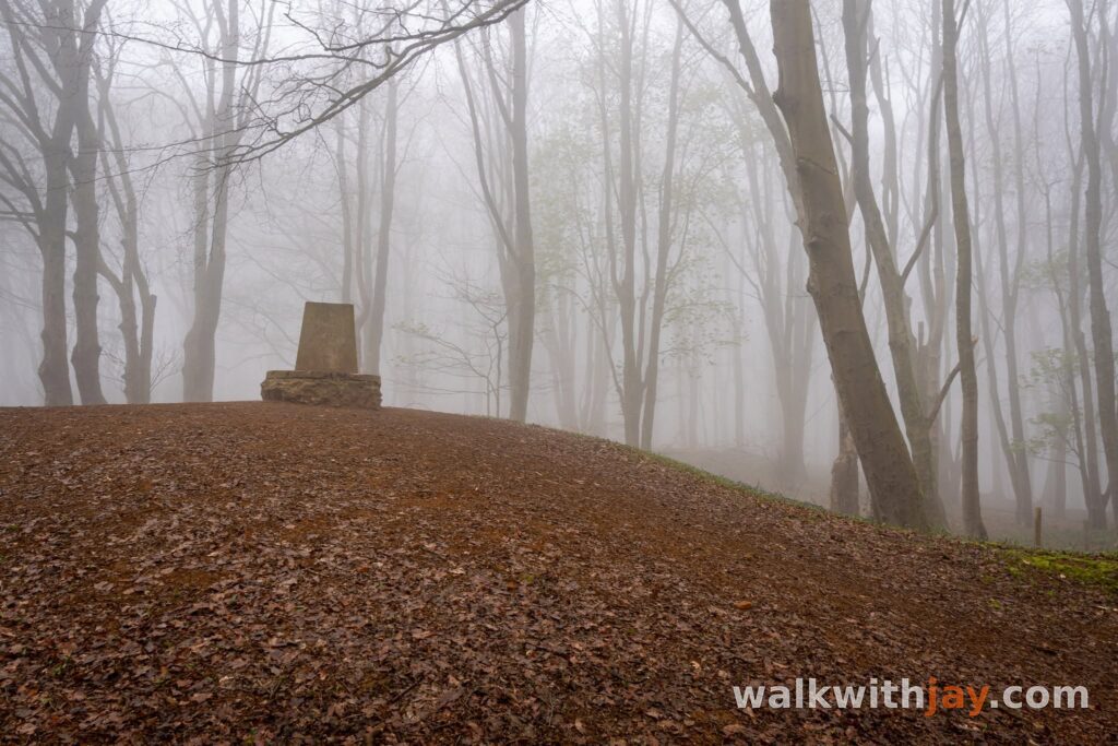
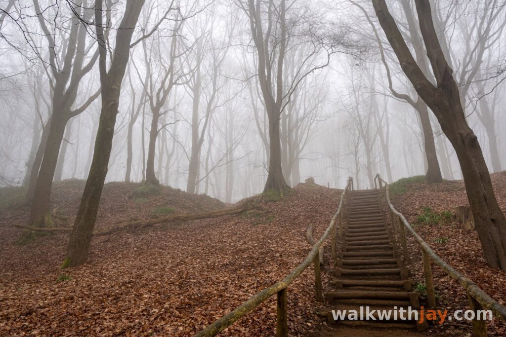
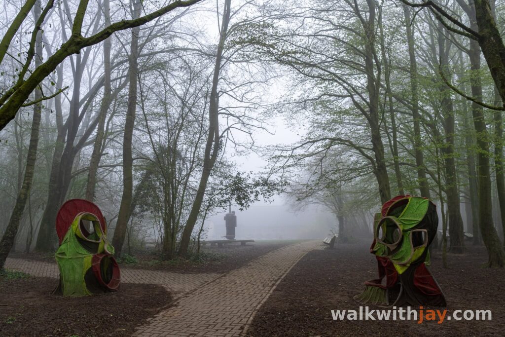
Dense fog hung between the trees during my walk, adding even more atmosphere around the bunkers. Even in clear weather, however, I find this a strong start to the walk.
A landscape still marked by war
From Lettenberg, the route climbs farther through the woodland of Kemmelberg. In several places, the ground remains noticeably uneven. Beneath the trees, traces of the heavy First World War fighting are still visible, especially from the battles of April 1918.
At the summit stands Den Engel, the large French memorial unveiled in 1932 in memory of the French troops who fought here. Farther down the western slope lies the Ossuaire français.
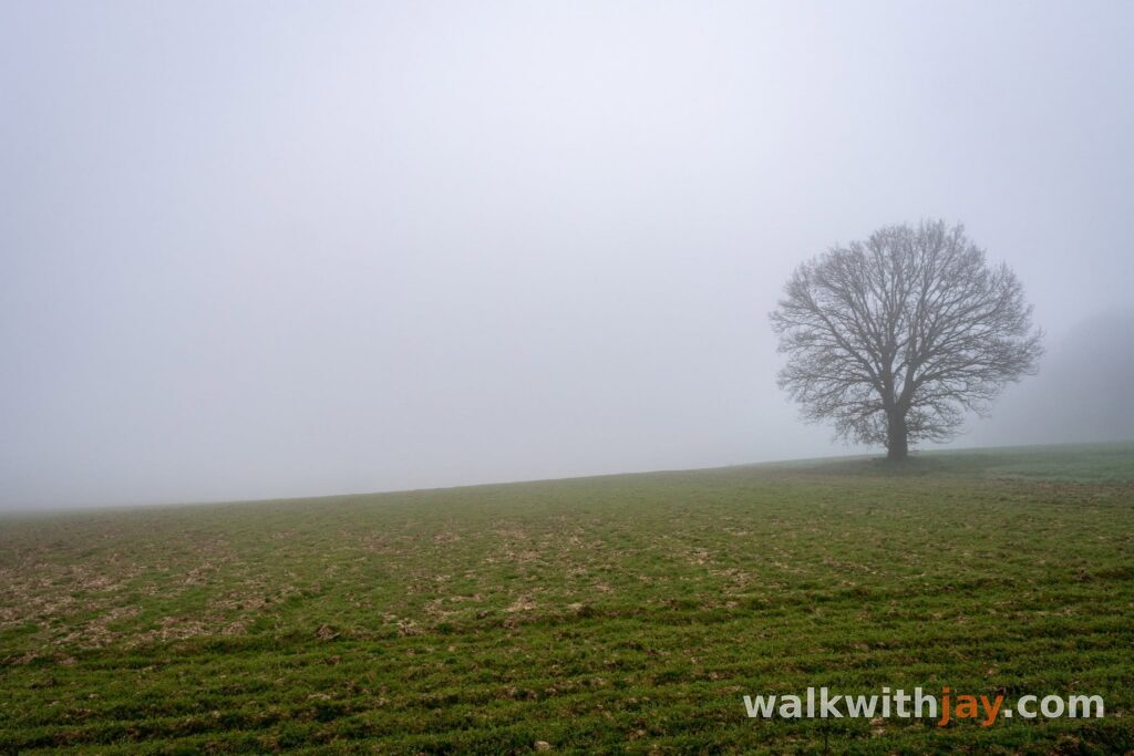
The remains of 5,294 French servicemen lie here in four mass graves, and only 57 were identified. I almost always stop here for a moment. It is not only the scale of the site that makes an impression, but also the contrast with the surrounding landscape. On clear days, the views stretch far across Heuvelland; during my walk, almost everything disappeared into the fog.
From Karel Pavlík to Alcide Watry
After Kemmelberg, the walk heads towards Dranouter and the surroundings become quieter again. Along Lettingstraat, you pass the memorial to Karel Pavlík. The Czechoslovak pilot served with RAF 313 Squadron and crashed his Spitfire here on 5 May 1942 during the air battle known as Circus 157.
A little farther on, I noticed a much smaller memorial in the field to Alcide Watry, who, according to the inscription, was killed here on 25 April 1918. I had never seen it before, despite the countless times I have walked in this area.
That is exactly what I enjoy about Heuvelland. Even on familiar roads and paths, there is always another story to discover. A small memorial you have overlooked for years can suddenly change the way you look at the landscape around it.
Along the Lindebeek and Monteberg
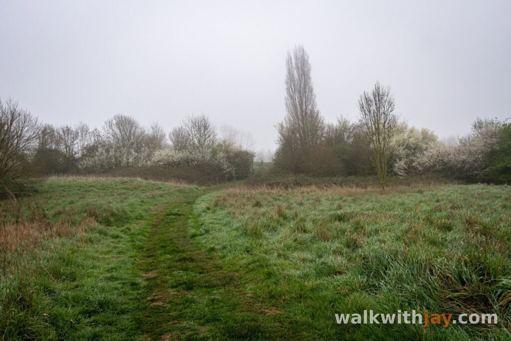
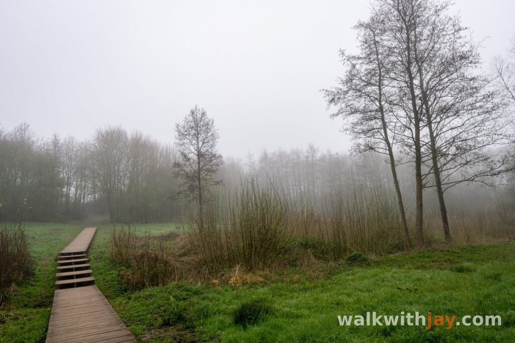
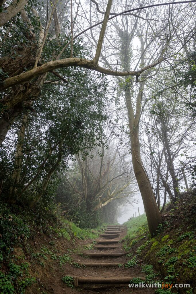
Farther on, the walk changes character again. Near junction 96, a quieter path follows the Lindebeek. After wet weather, it can become very muddy, with a short boardwalk helping you across one of the wetter sections.
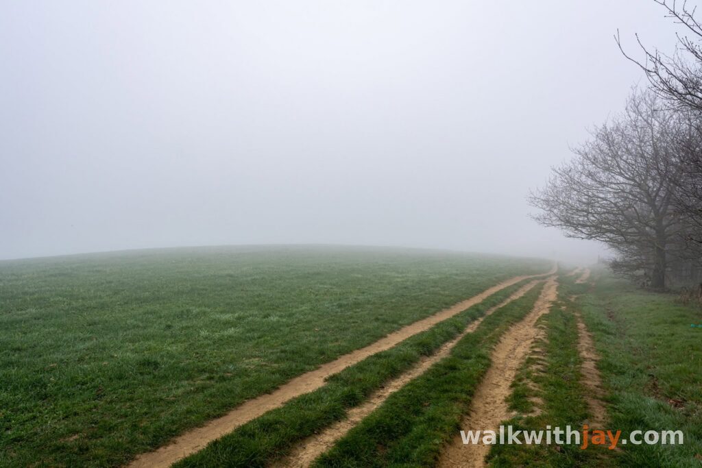
You then reach Wijngoed Monteberg. From here, I chose not to stay entirely on the junction network and took an alternative footpath through the fields and beside a small nature area. For me, that makes this section more interesting: you leave the wider roads behind and the walk feels more immersed in the landscape again.
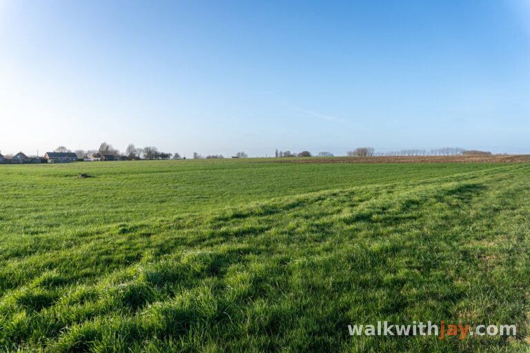
The path eventually rejoins the route towards junction 72. In clear weather, this is one of my favourite places to pause for the view towards France. The fog limited visibility to only a few hundred metres during this walk, but it gave the hills their own atmosphere. Junctions 2 and 3 then take you back to the Command Bunker.
Photos from this walk




Jay’s tips
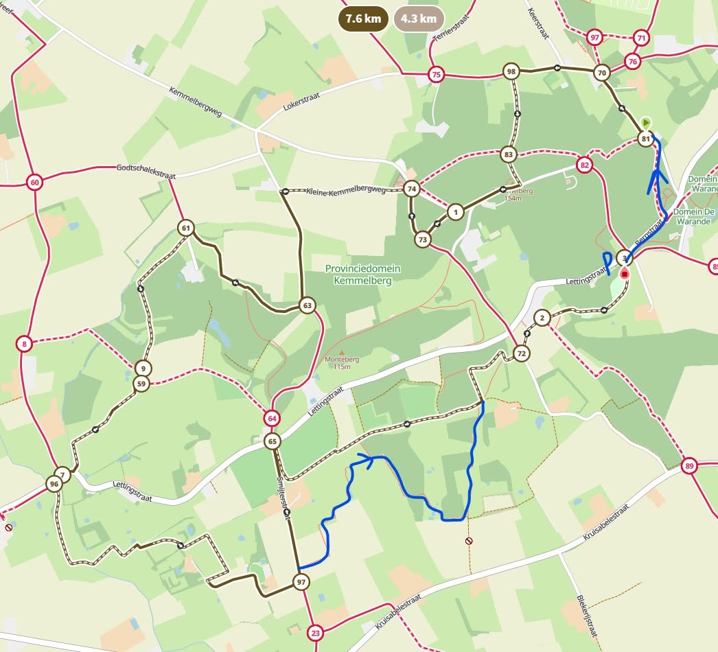
In clear weather, junction 72 is a good place to stop and enjoy the view towards France. If you want a slightly wilder section, take the alternative footpath through the fields after junction 97.
Good to know
Muddy after rain
Sturdy footwear recommended
Steep sections
Busy at weekends
Picnic area or benches
Viewpoint
Monument
Military heritage
War cemetery
Memorial or commemorative monument
Nature observation point
After wet weather, the woodland paths and the section beside the Lindebeek can become very muddy. Sturdy walking shoes are strongly recommended.
My experience
This walk was largely improvised because the dense fog made my original plan less suitable. In the end, that turned out to be exactly the right decision. I know Kemmelberg well, but linking familiar sections in a different way made the area feel fresh again.
What really makes this route work for me is the combination. You get woodland, open fields, hills, muddy paths and wide views in clear weather. At the same time, history remains present throughout the walk without turning it into a simple sequence of memorials.
That is what sets it apart for me from a more typical walk around Kemmelberg. The route stays varied, includes enough quiet sections and always gives you something to discover along the way. The fog added extra atmosphere to my visit, but the route works just as well on a clear day.
Walking nodes
Wandelnetwerk Heuvelland
Route map available on site
Places of interest
Commandobunker Kemmel
At start/finish
Underground Belgian Cold War command post and the starting point of this walk.
Lettingstraat 64, 8951 Heuvelland, Belgium ↗
Website →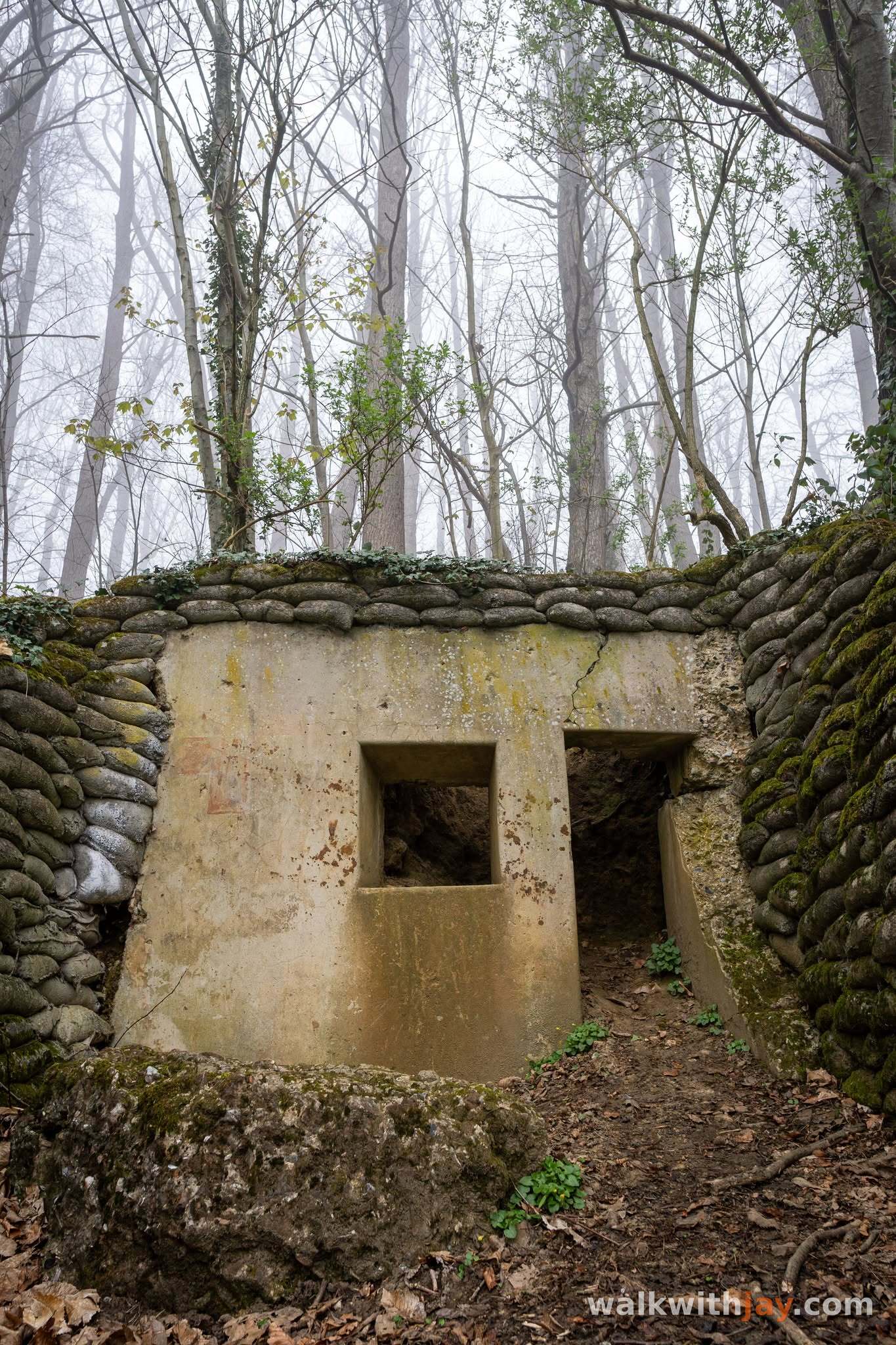
Lettenbergbunkers
Along the route
Four restored British concrete shelters from 1917 that once provided access to an underground headquarters.
Lokerstraat z/n, 8956 Kemmel, Belgium ↗
Website →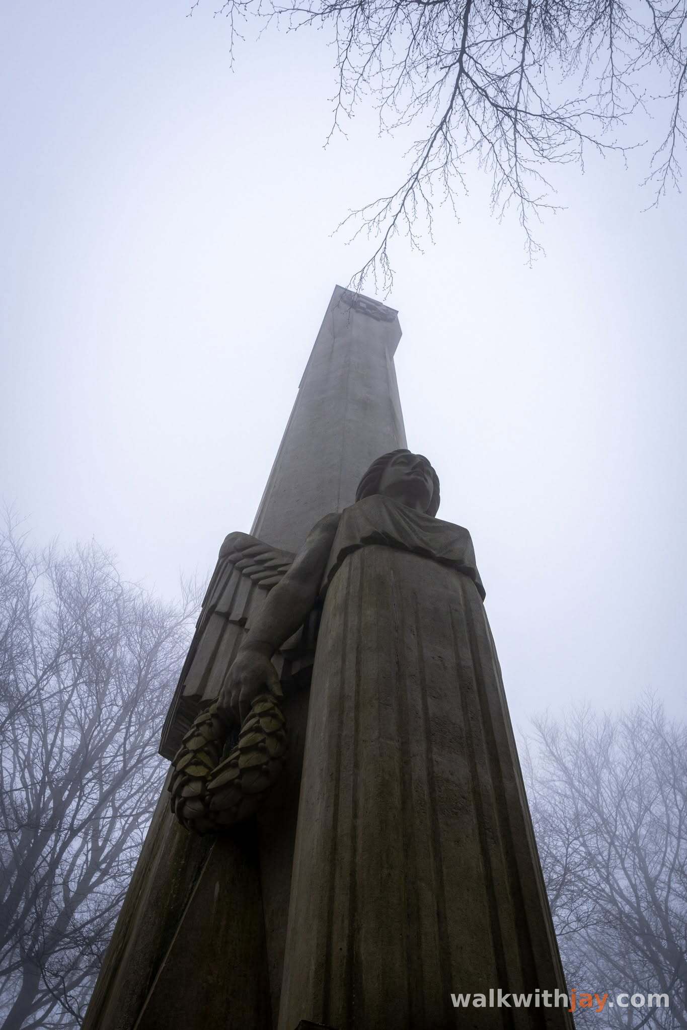
Den Engel
Along the route
French memorial column on the summit of Kemmelberg, unveiled in 1932 in memory of the French troops who fought here in 1918.
Kemmelbergweg, 8956 Kemmel, Belgium ↗
Website →
Ossuaire français
Along the route
French ossuary containing the remains of 5,294 servicemen, only 57 of whom were identified.
Kemmelbergweg 32A, 8956 Kemmel, Belgium ↗
Website →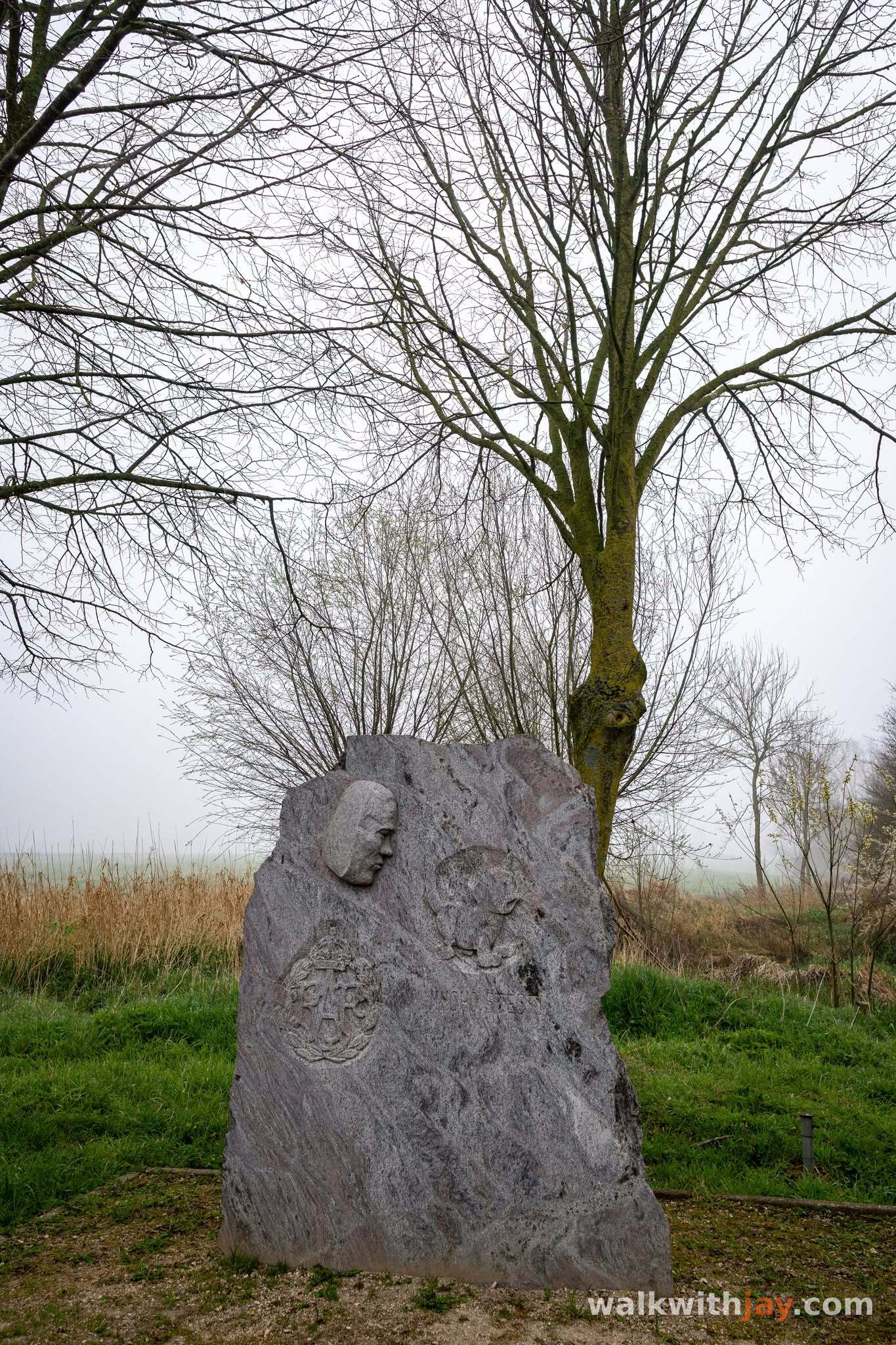
Monument Karel Pavlík
Along the route
Memorial to Czechoslovak RAF pilot Karel Pavlík, whose Spitfire crashed here on 5 May 1942.
Lettingstraat 40, 8951 Dranouter, Belgium ↗
Website →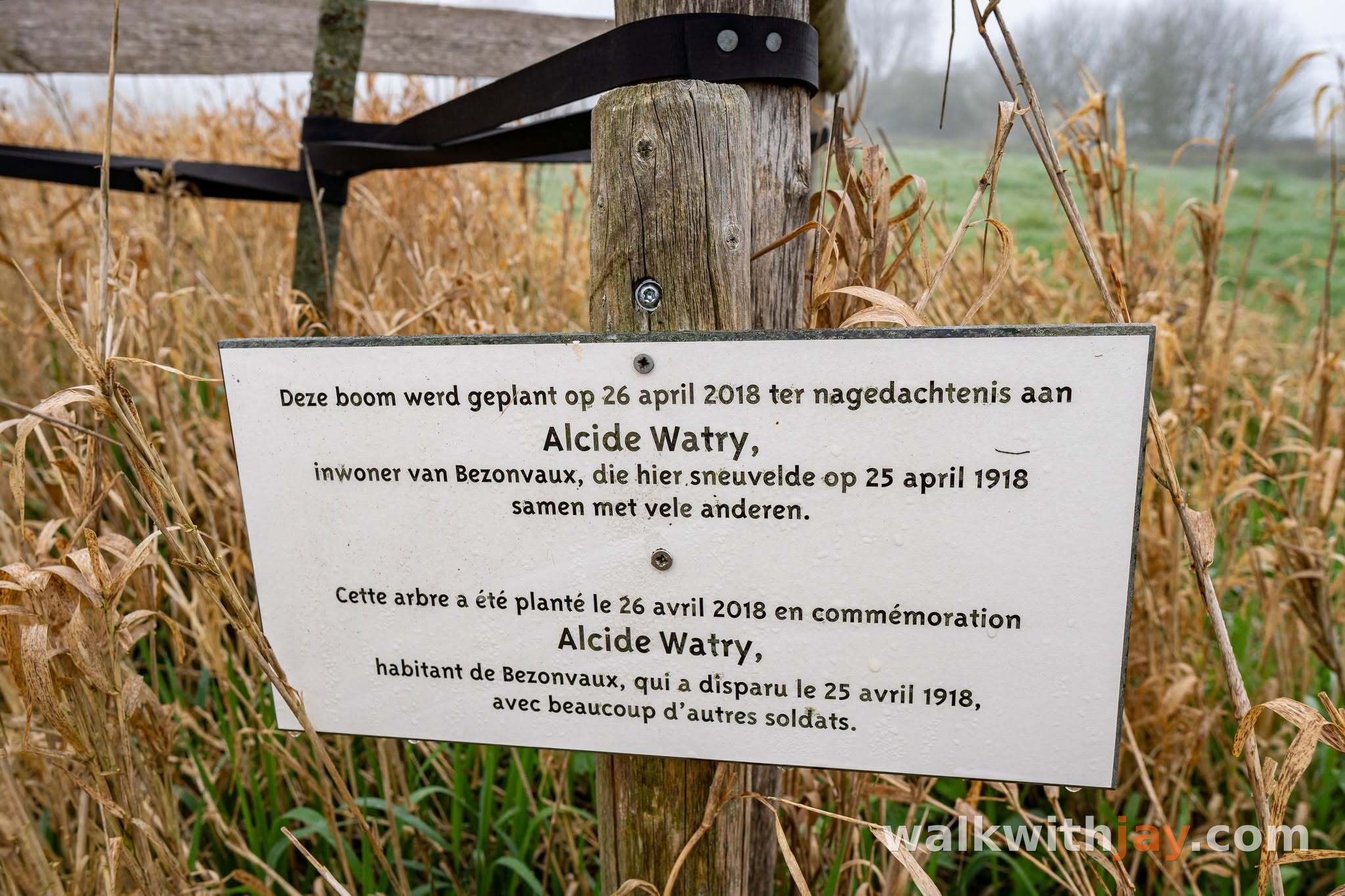
Memorial Alcide Watry
Along the route
Small memorial to French serviceman Alcide Watry, who according to the memorial was killed here on 25 April 1918.
Ready to set off?
Open the starting point in your GPS and enjoy the walk.