Les Étangs du Romelaëre
Clairmarais
 2 min read
A peaceful walk for anyone who likes slowing down by the water, with reedbeds, birdlife and a small hand-operated ferry along the way.
The walk
This 2.8-kilometre loop explores Les Étangs du Romelaëre, a nature reserve just outside Clairmarais.
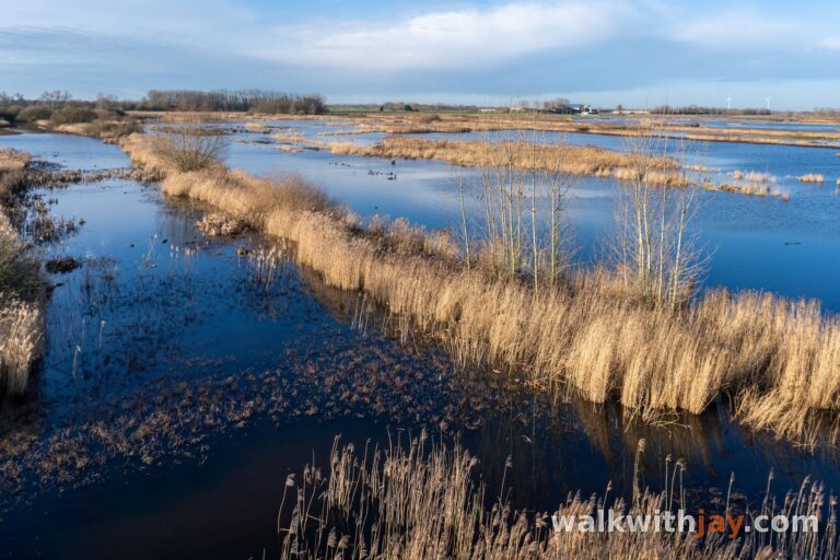
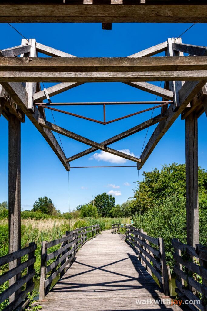
The route runs between ponds, reedbeds and wet meadows, mostly along unpaved paths and boardwalks. Along the way, there are several places to stop, look out over the water and watch the birds.
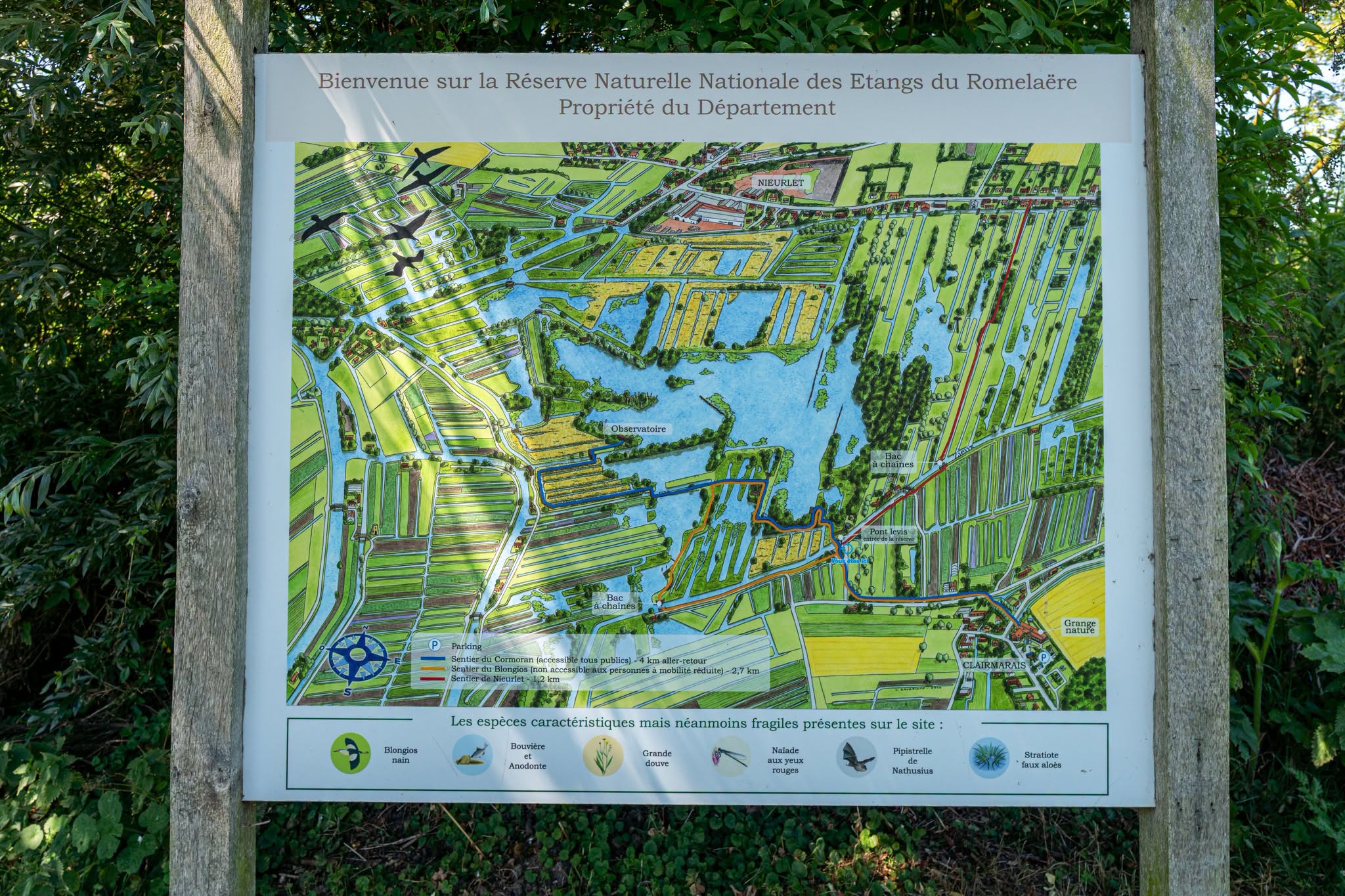
Route map
From peat cutting to nature reserve
The ponds at Romelaëre are not entirely natural. Peat was extracted here, particularly during the nineteenth century, and the excavated areas later filled with water.
Those former peat workings helped create the landscape you see today.
The reserve now covers 108 hectares, with a mix of open water, reedbeds, wet meadows and marsh woodland. It has been a Réserve Naturelle Nationale since 2008.
Between ponds and reedbeds
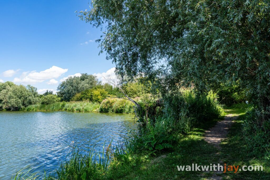
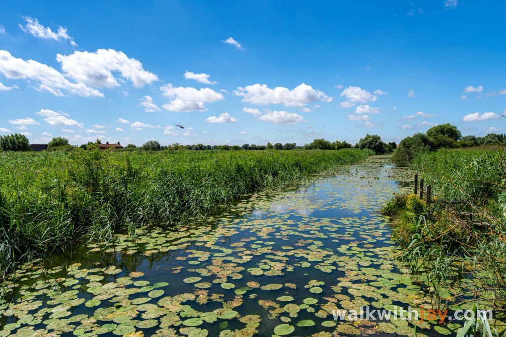
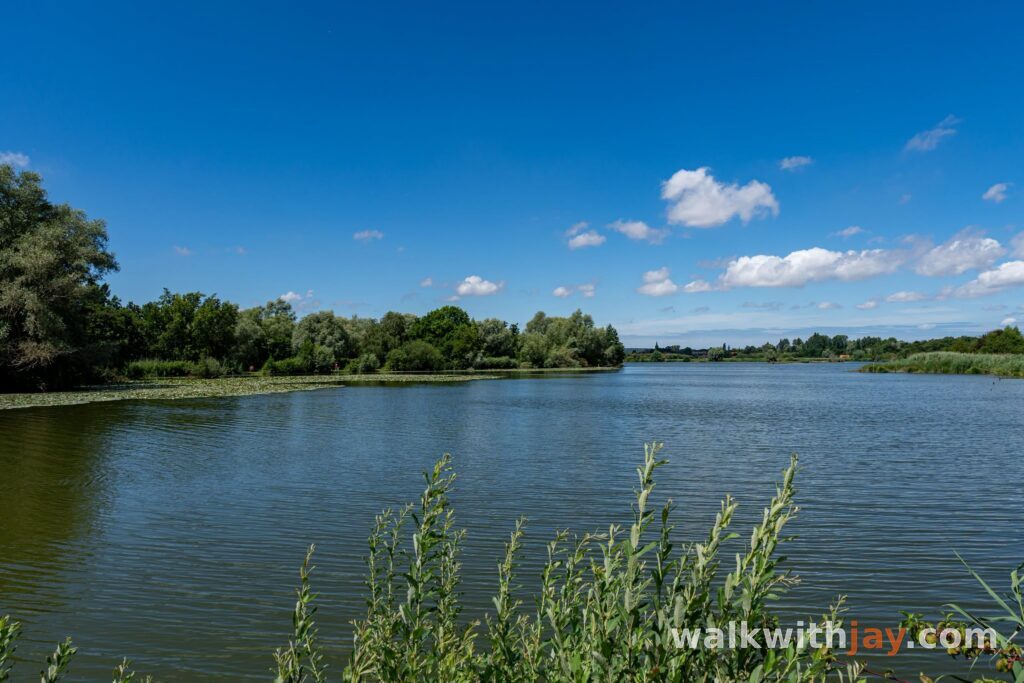
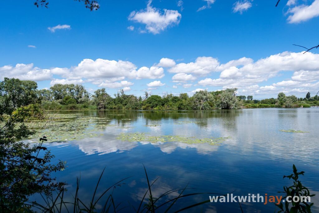
Water is almost always close by. One moment the path runs through dense greenery and tall reeds, the next it opens out onto another pond.
That variety works particularly well on such a short walk. There are several places to stop and watch the birds, and the wider marshes around Saint-Omer are home to an impressive range of species.
There is also plenty of shade. That is one of the reasons I like coming here on warmer days when I want to walk without spending hours in the full sun.
No dogs allowed
Dogs are not allowed inside the nature reserve, even on a lead.
Romelaëre is an important breeding and resting area for birds and other wildlife, so this is a rule worth respecting. Seeing someone else with a dog inside the reserve does not mean dogs are permitted.
On the edge of the French Westhoek
Clairmarais lies in an interesting location. The village is in Pas-de-Calais, right on the edge of the French Westhoek.
The River Aa forms part of the western boundary of the region, placing Romelaëre in a transition zone between the Westhoek and the marshes around Saint-Omer.
It is not something you physically notice while walking, but it adds another interesting detail to the landscape.
The hand-operated ferry
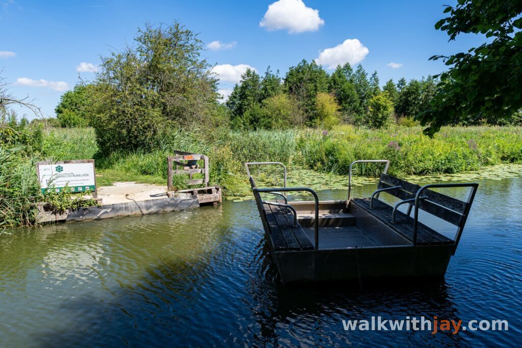
The little ferry is one of my favourite parts of the walk.
You pull yourself across the water using a chain. It only takes a moment, but it is exactly the kind of small detail that makes this route more memorable and suits a landscape where water is everywhere.
If nobody is waiting, I sometimes stay on the ferry for a little while and simply look out over the water.
Photos from this walk







Jay’s tips
Do not rush this walk. At only 2.8 kilometres, you can be around quite quickly, but it is worth spending a little longer beside the ponds and at the birdwatching points. If you want more kilometres, continue through the marshes around Clairmarais on a longer route such as Du Bocage au Marais.
Good to know
Busy at weekends
Visitor centre or information point
Birdwatching hide or viewpoint
Nature observation point
Dogs are not allowed inside the reserve, even on a lead. The 2.8-kilometre Sentier du Blongios is not open all year either: Eden 62 lists the opening period as 15 March to 15 December.
My experience
I come back to Les Étangs du Romelaëre almost every year. Not because it is a long or spectacular walk, but because I enjoy walking beside the water and spending some time somewhere quiet.
The shaded sections are especially pleasant on warm days, and the little ferry remains one of my favourite parts of every visit.
Waymarking
Orange and Blue
Route map available on site
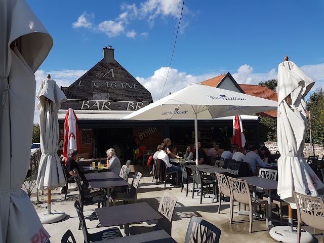
Food and drink
Places of interest
La Grange Nature
At start/finish
Visitor and information point at the entrance to the nature reserve.
18 Rue du Romelaere, 62500 Clairmarais, France ↗
Website →
Petit bac manuel du Romelaëre
Along the route
Small hand-operated ferry used to pull yourself across the water.
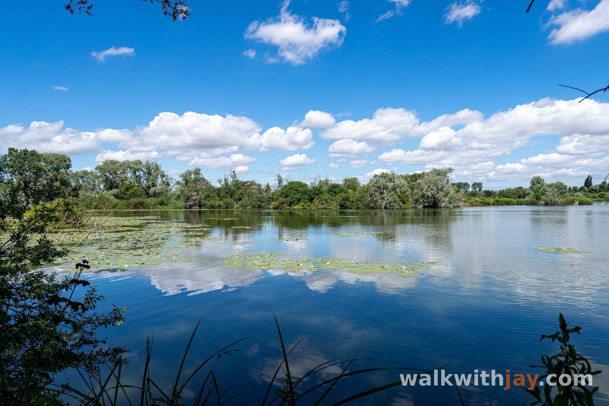
Observatoire ornithologique du Romelaëre
Along the route
Birdwatching hide along the walking route through the reserve.
Les Étangs du Romelaëre, 62500 Clairmarais, France ↗
Website →Ready to set off?
Open the starting point in your GPS and enjoy the walk.