Tilleul du Joncquoy
Aubers
A peaceful rural loop around Aubers, with country tracks, small woods, wartime remains and a centuries-old lime tree as its highlight.
The walk
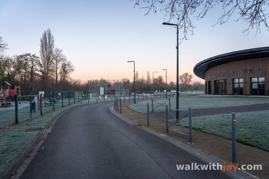
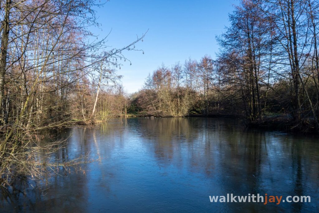
The Tilleul du Joncquoy route is a 7.5-kilometre loop around Aubers in the quiet Weppes countryside south of Fromelles. I started at the Étangs Louis Castelein, where there is plenty of parking and a good place to sit by the water after the walk. The route combines quiet lanes, unpaved tracks, small woodland sections and a surprising amount of local history.
From the ponds into the countryside
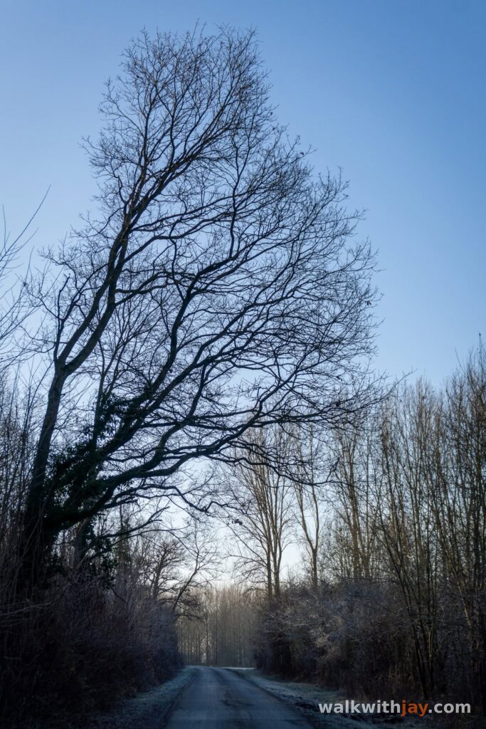
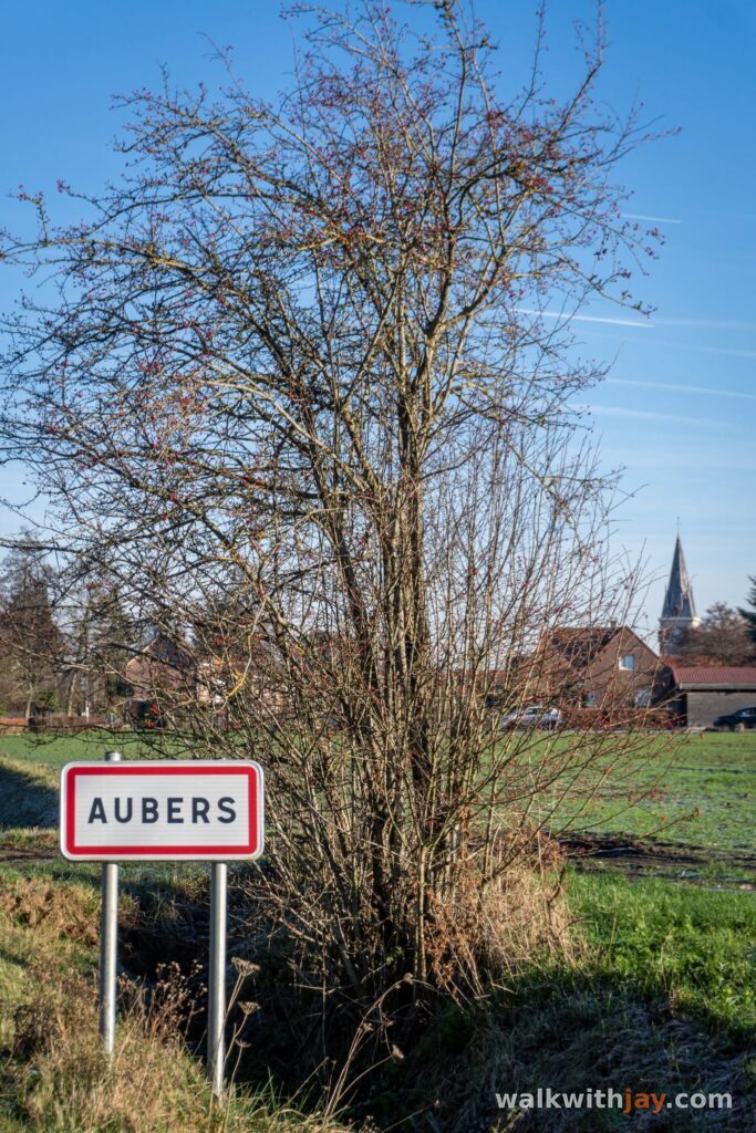
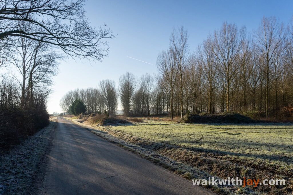
From the Étangs Louis Castelein, the route first heads towards the centre of Aubers and the church. The opening section still passes through a few residential streets, but the houses soon give way to fields, hedges and small patches of woodland.
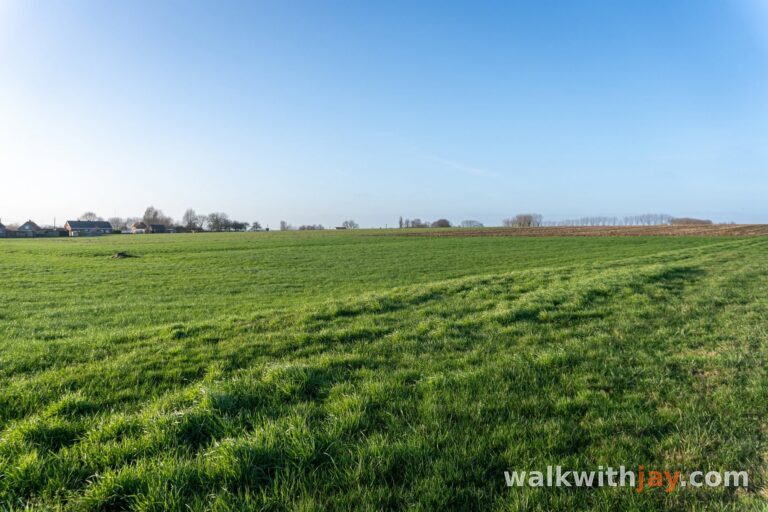
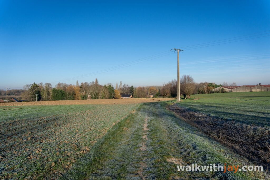
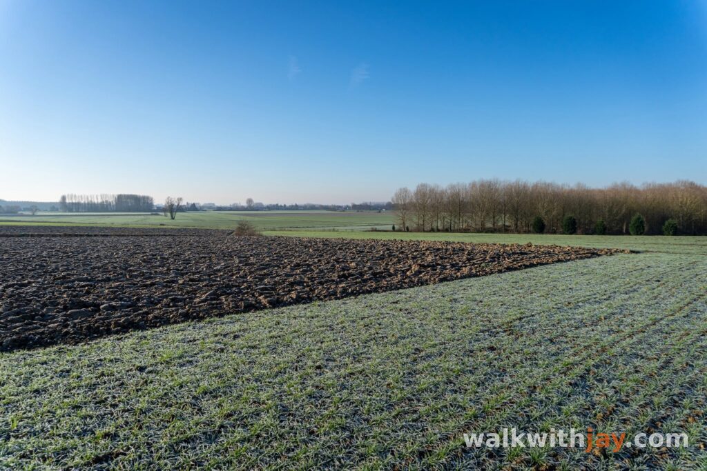
The surroundings quickly become quiet and rural, with long views across the Weppes countryside. Several woods around Aubers are privately owned and some are used for hunting, so if you bring a dog it is best to keep it on a lead and stay on the paths.
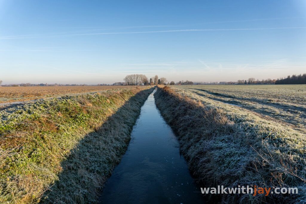
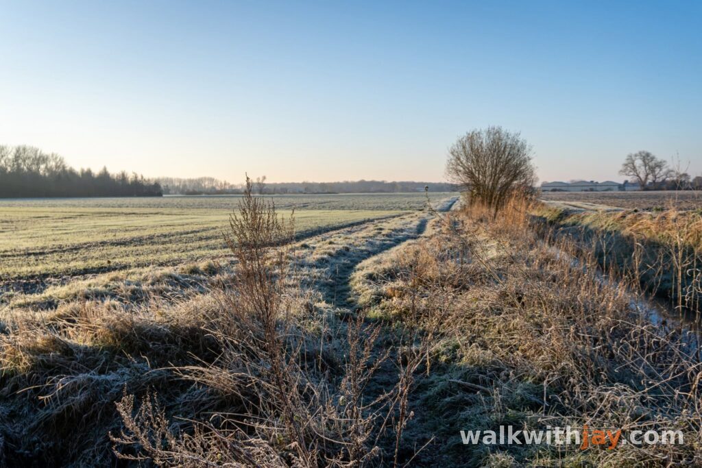
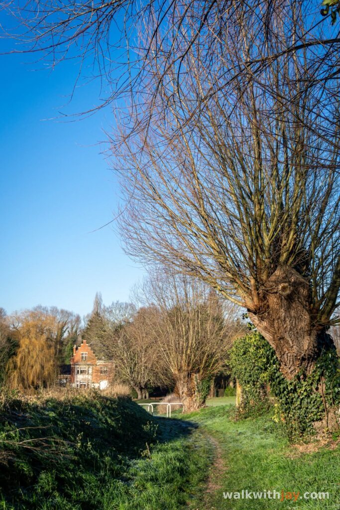
Farther on, the route follows an unpaved track beside the River Layes. This was one of the sections I enjoyed most. At the end of the path, a German concrete shelter from the First World War still stands in the landscape, one of many wartime remains that have survived among the farms and fields of this area.
A landscape once covered in fortifications
During the First World War, Aubers lay within a heavily fortified German defensive zone. Once the front stabilised at the end of 1914, Aubers, Fromelles and much of the Weppes were strengthened with trenches, concrete shelters and other defensive works.
A 1931 document gives some idea of the scale involved, recording around 6,000 blockhouses cleared from the main former front areas of the Nord department, including the Cambrai sector and the Weppes. That figure does not refer to Aubers alone, but it shows how much concrete remained across the region after the war.
Not every bunker was removed. Some were simply left in the fields and later reused for storage or shelter. That is why wartime remains still appear unexpectedly along this route without the countryside ever feeling like a formal battlefield site.
The Tilleul du Joncquoy
After more quiet lanes and woodland, the route gradually climbs towards the higher ground around Aubers. From here, the views open out across the surrounding fields and villages. That gentle ridge also explains why this area was so important militarily during the First World War.
A narrow path then leads to the Tilleul du Joncquoy. Local tradition dates the lime tree to around 1490, while its presence is documented on a map from 1609. It survived the destruction of Aubers during the First World War and has become one of the best-known remarkable trees in the area.
The tree is not exceptionally tall, but its thick, irregular trunk is striking once you stand beside it. There is a bench at its base, making this an ideal place to stop for a while. For me, this was easily the most memorable part of the walk.
Battle Site Garden and the return to the ponds
On the way back towards Aubers, the route passes the Battle Site Garden on Rue des Sablonnières. The site was created in 2015 to mark the centenary of the Battle of Aubers Ridge, fought on 9 May 1915.
The British attack was intended to tie down German forces while the French Army launched its offensive farther south in Artois. The preliminary bombardment failed to destroy enough of the German wire and fortified positions, leaving the attacking British and Indian troops exposed to intense machine-gun fire. More than 11,000 men were killed, wounded or reported missing during the day.
The Battle Site Garden tells the story through information panels and memorial features. It also has a strong connection with the English village of Wadhurst: 25 men from the village were killed during the attack on 9 May 1915. Their memory later helped form the link that led to the twinning of Wadhurst and Aubers.
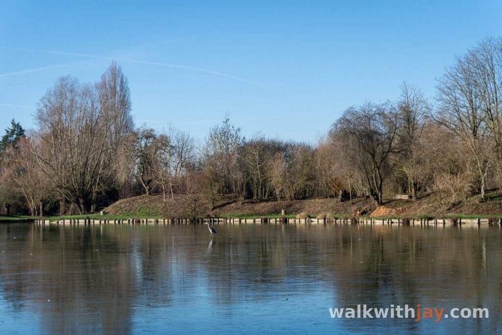
From here, it is only a short walk back to the Étangs Louis Castelein, where the route ends beside the water.
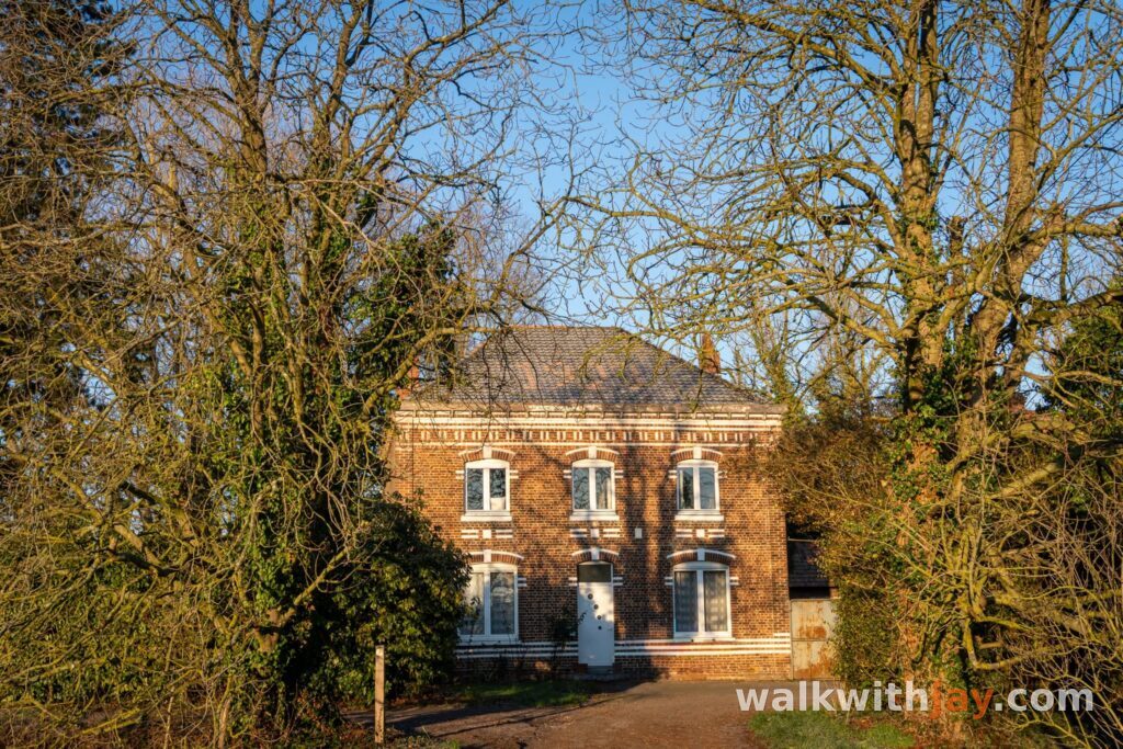
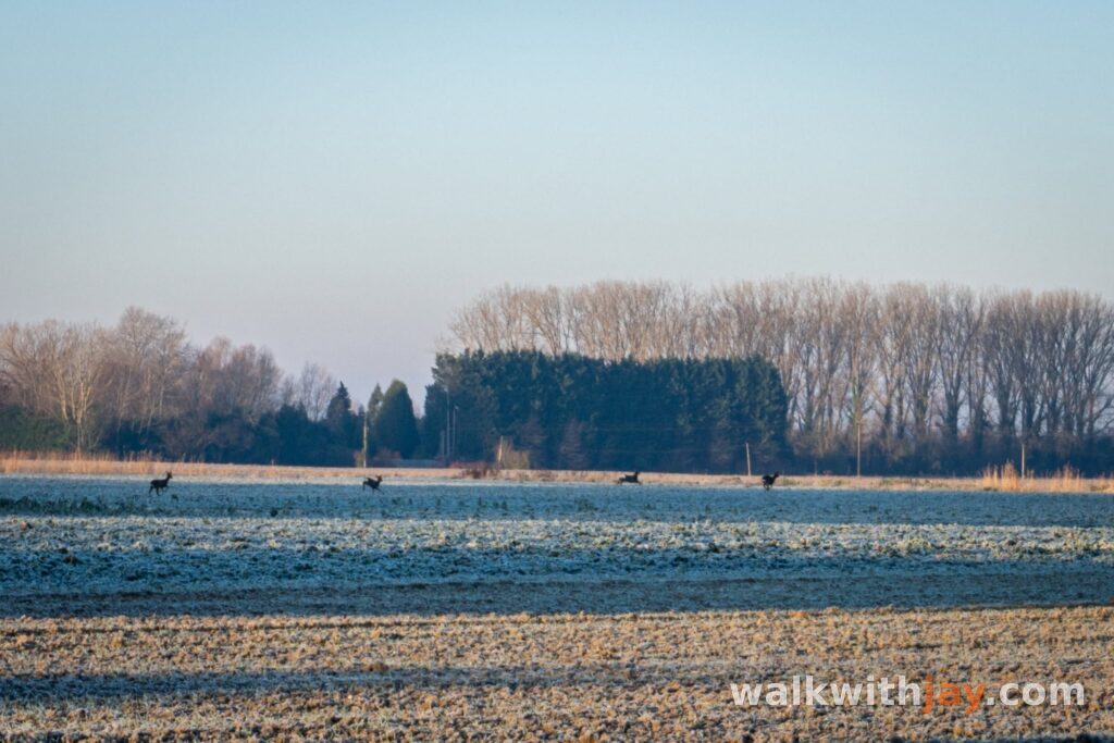
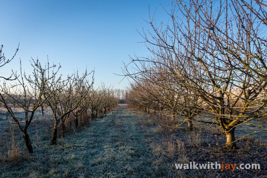
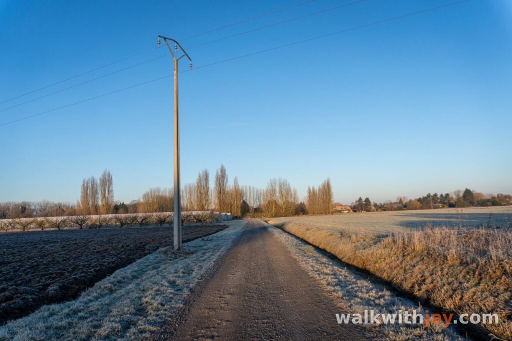
Photos from this walk



Jay’s tips
Take a little time to walk around the Tilleul du Joncquoy and stop at the bench. From a distance it looks much less impressive than it does when you are standing beside the old trunk.
Good to know
Muddy after rain
Sturdy footwear recommended
Little shade
Waterproof footwear useful
Playground
The official route warns that the unpaved tracks can be wet and muddy after rain and recommends waterproof footwear in those conditions. Take extra care when crossing the RD 41 and RD 41a. At the Étangs Louis Castelein there is parking, picnic seating and a public toilet.
My experience
This was my third walk in the Fromelles and Aubers area. I personally preferred the previous two slightly more, but this route still has enough variety to make it worthwhile.
The unpaved stretch beside the Layes and the climb towards the Tilleul du Joncquoy were the strongest parts for me. The ancient lime tree is easily the highlight. After the open fields and quiet lanes, it almost appears out of nowhere, and it is only when you stand close to it that you realise how impressive the old trunk really is.
The First World War history is less obvious in the landscape here than on some other routes nearby, but the surviving bunkers and Battle Site Garden still add another layer to the walk.
For me, this is mainly a peaceful country walk with a few strong historical stops along the way.
Waymarking
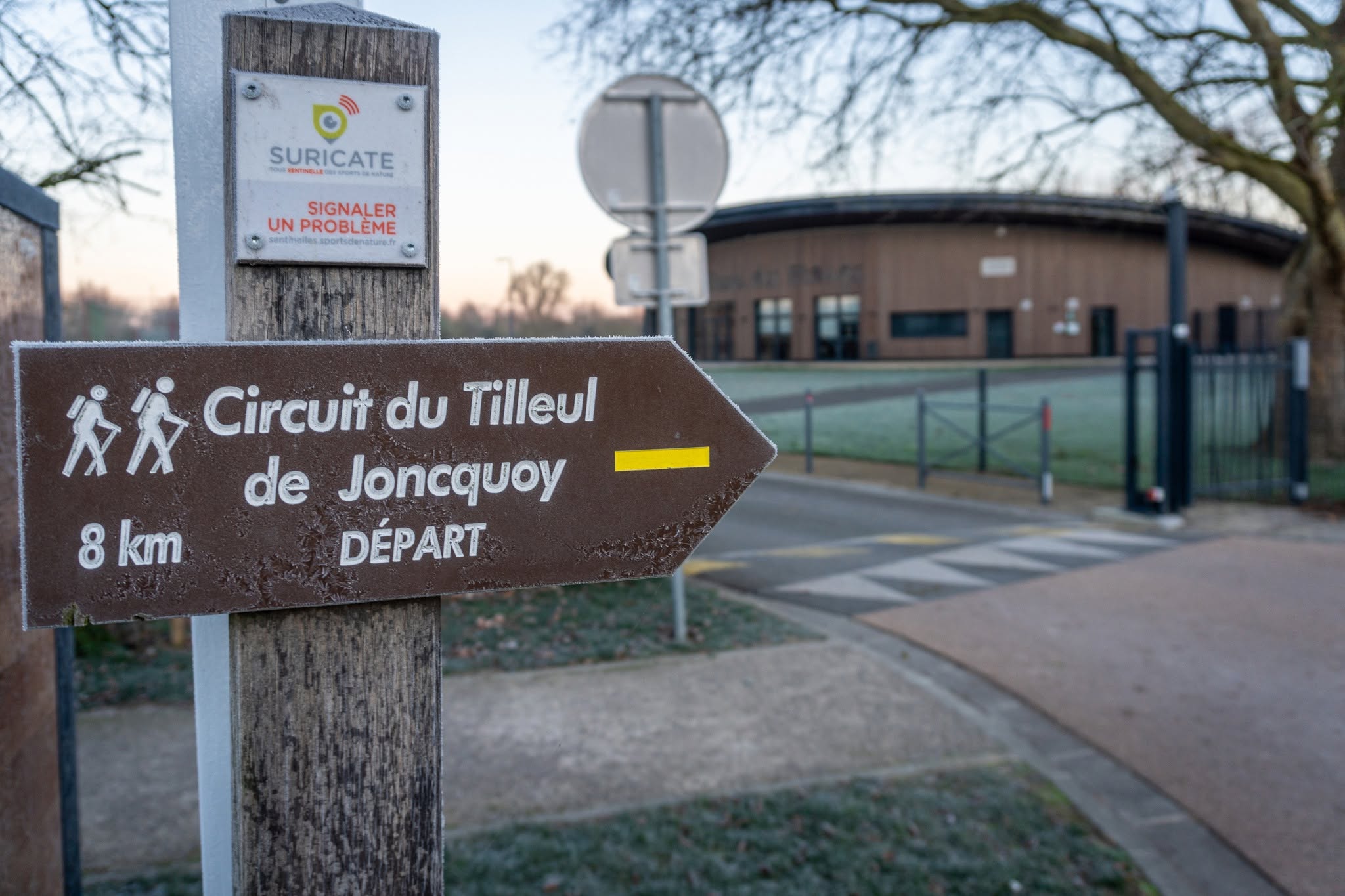
Yellow
Places of interest
Étangs Louis Castelein
At start/finish
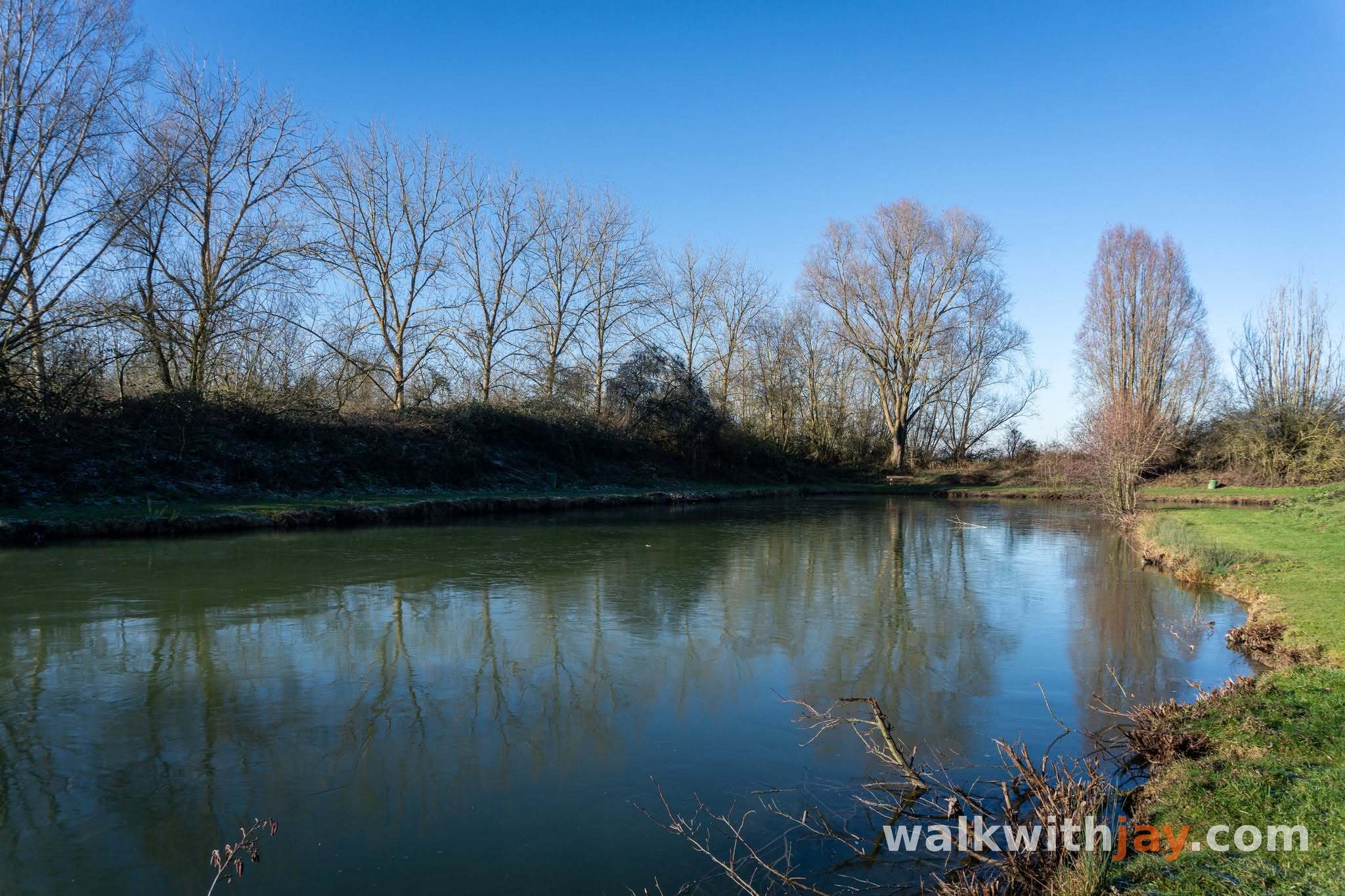
Ponds and recreation area with parking, picnic seating and a public toilet, used here as the starting point.
Rue Basse, 59249 Aubers, France ↗
Website →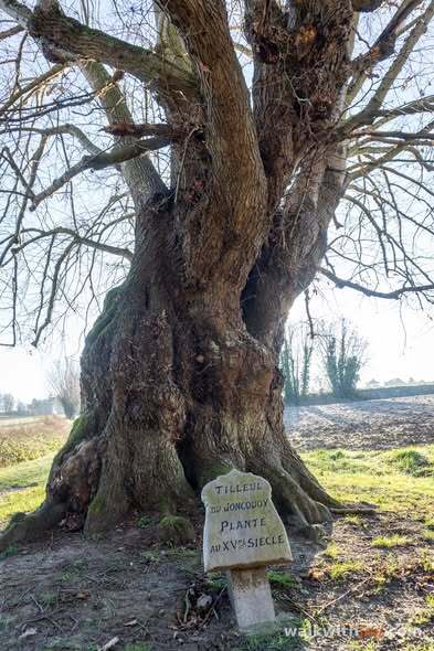
Tilleul du Joncquoy
Along the route
Centuries-old lime tree traditionally dated to around 1490 and already shown on a map from 1609.
Rue Piètre, 59249 Aubers, France ↗
Website →
Battle Site Garden
Along the route
Memorial site created in 2015 about the Battle of Aubers Ridge on 9 May 1915 and the link between Aubers and Wadhurst.
Ready to set off?
Open the starting point in your GPS and enjoy the walk.