Toontjespad
Sint-Juliaan
A peaceful rural loop around Sint-Juliaan, with wide views, the Steenbeek and stories from the area’s local and wartime history.
The walk
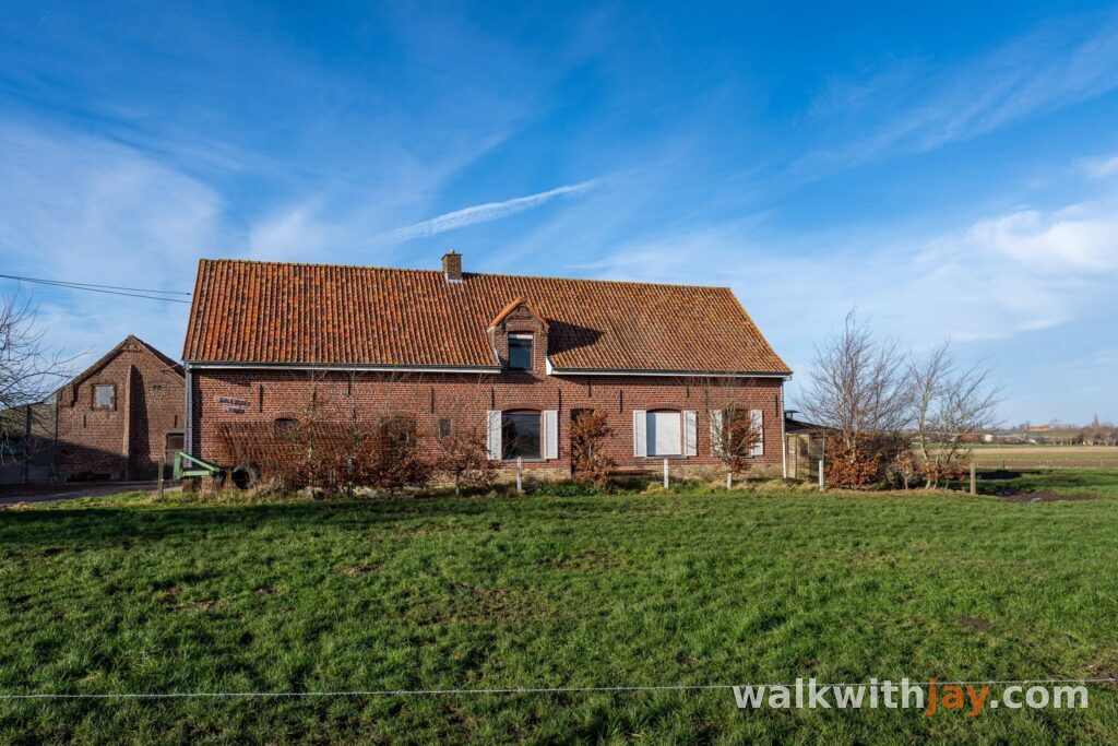
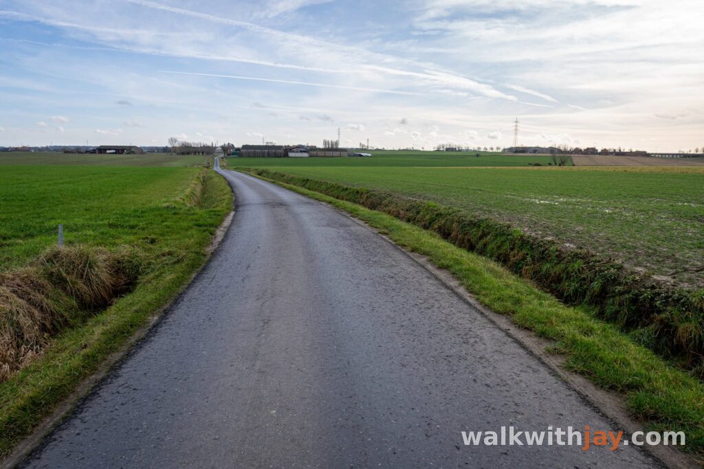
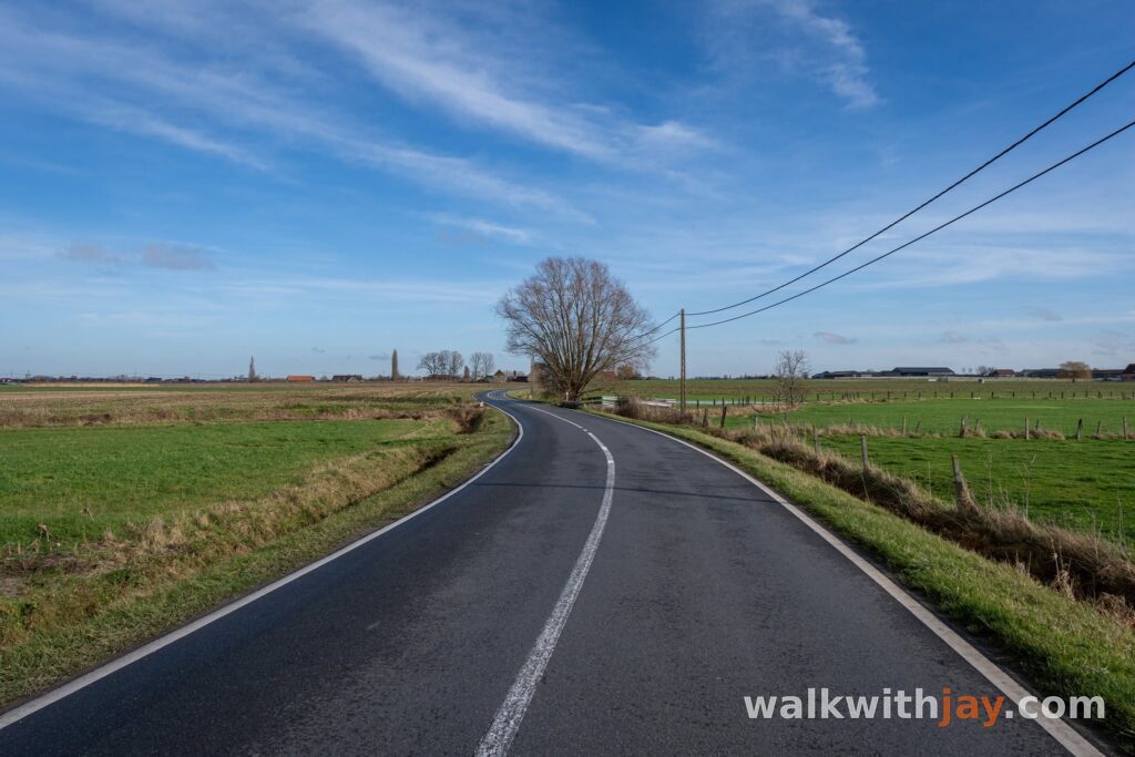
The Toontjespad is a 7.5-kilometre loop through the open countryside around Sint-Juliaan. Starting at OC De Hazebrug, the route follows quiet lanes and field paths past the Steenbeek, Bridge House Cemetery, Hill 35 and the Steenakkermolen.
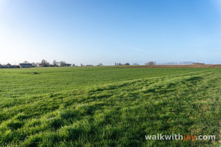
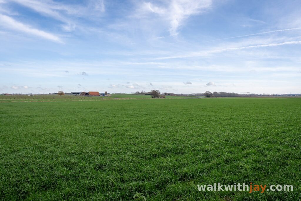
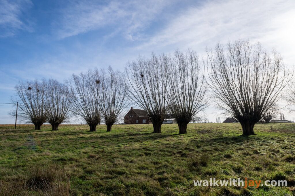
Wide views across the fields are mixed with some unexpected local stories, from Félix Nadar’s balloon flight to the fighting of the First World War.
Sint-Juliaan and Saint Anthony
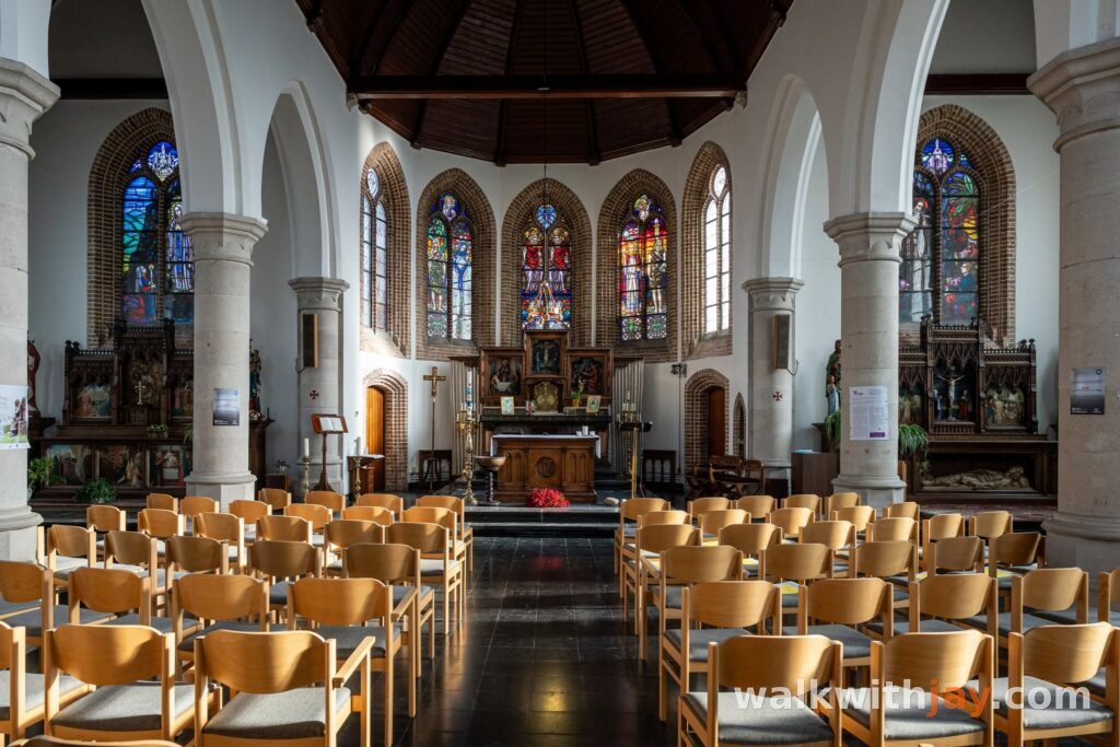
Sint-Juliaan developed around a strong devotion to Saint Anthony. Records from as early as 1770 mention an institution here that cared for people suffering from skin diseases. Many visitors also came to invoke Saint Anthony in the hope of a cure, and the village gradually became a recognised place of pilgrimage.
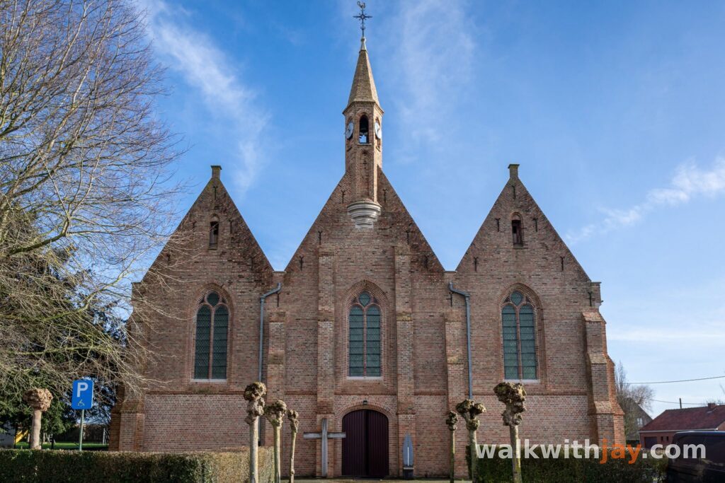
At the beginning of the 20th century, local residents wanted Sint-Juliaan to become an independent parish. The proposal met opposition from Langemark and Zonnebeke, but the boundaries were eventually fixed in 1909 and Sint-Juliaan officially became a parish in its own right.
That development was brought to an abrupt end only a few years later. The village was destroyed during the First World War. From 1920 onwards, the first residents returned and the rebuilding of Sint-Juliaan began.
The Steenbeek and Bridge House Cemetery
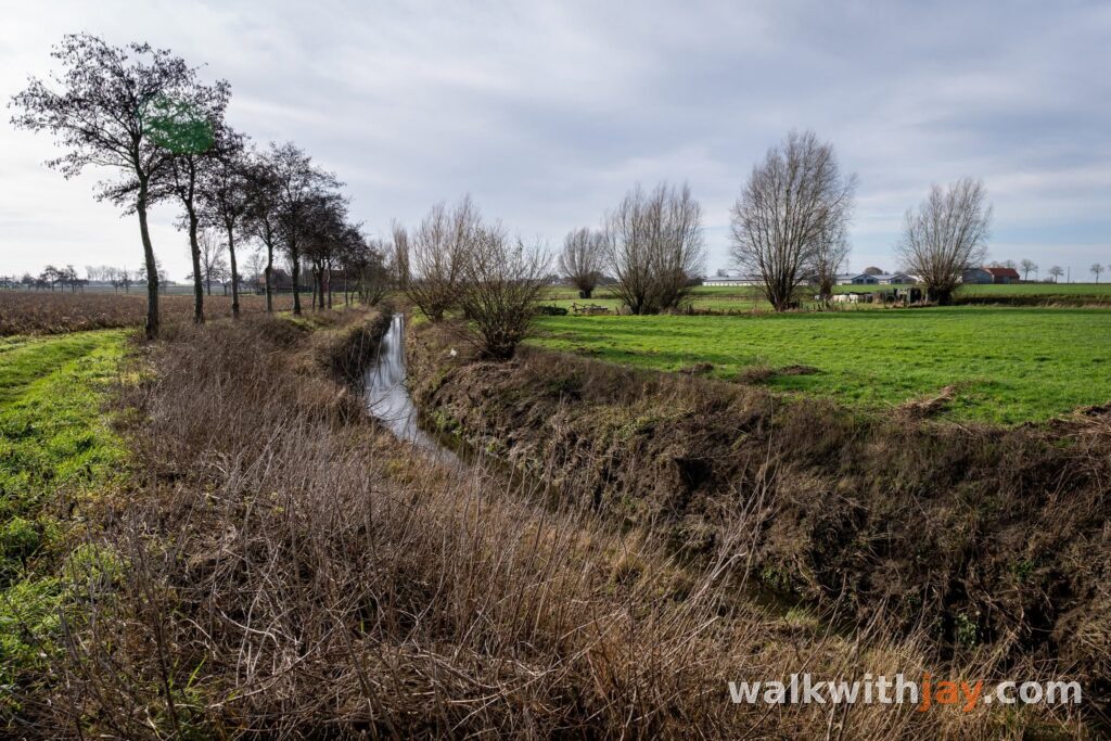
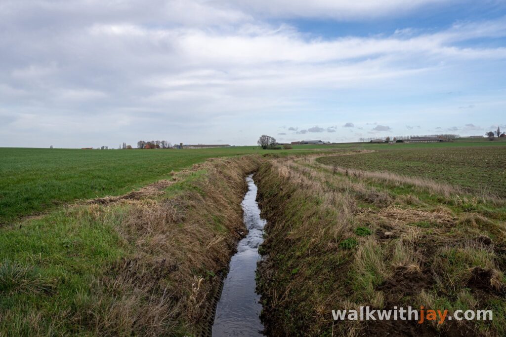
From the village, the walk heads out towards the Steenbeek. This small watercourse lay at the centre of the fighting during several stages of the First World War.
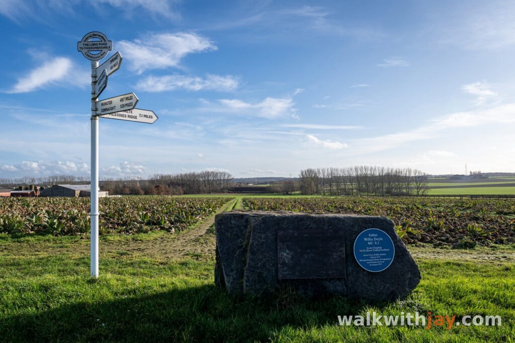
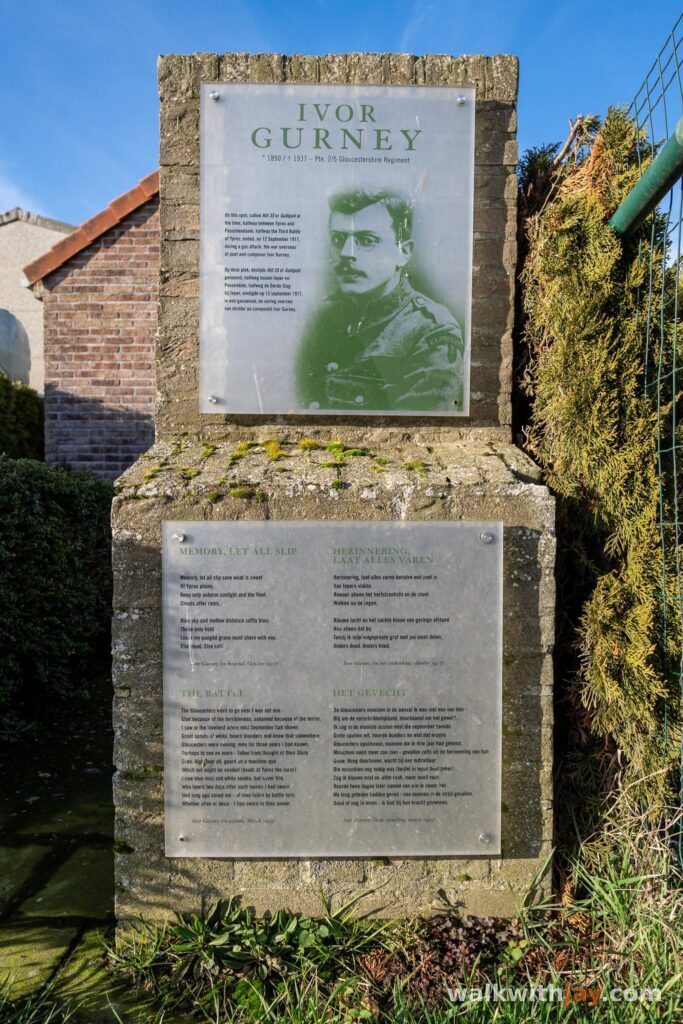
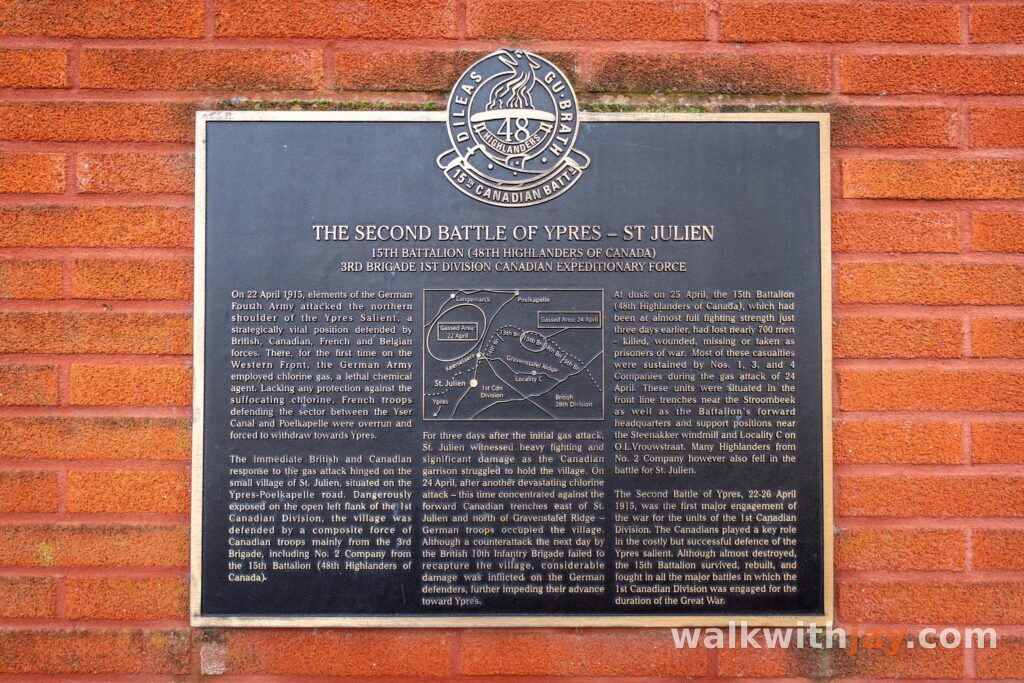
Heavy fighting took place in the area in 1914. During the Second Battle of Ypres in April 1915, Sint-Juliaan once again found itself on the front line following the German gas attacks. In the summer of 1917, the Steenbeek became a natural obstacle during the Third Battle of Ypres, and tanks were also used in this sector. In September 1918, Belgian units advanced again from the surrounding area during the final offensive.
The route also passes Bridge House Cemetery. This small cemetery was begun at the end of September 1917 by the 59th (North Midland) Division and was named after a nearby farm beside a bridge over the Steenbeek. The farm was used as a medical post by several units.
Forty-five British servicemen are buried here, four of them unidentified.
From Félix Nadar to Hill 35
Félix Nadarstraat introduces a very different story. The street is named after the French photographer, writer and balloonist Félix Nadar.
On 26 September 1864, he took off from the Botanical Garden in Brussels in his enormous balloon Le Géant. A few hours later, the flight ended with an emergency landing in Sint-Juliaan. Mobile barriers had been placed around the launch site in Brussels to keep the crowds back. In Belgium, Nadar’s name later became associated with this type of temporary barrier.
Farther along, the walk passes the former brickworks. In 1983, an underground German shelter from the First World War was rediscovered in the clay pit. On British maps it was marked as Bremen Redoubt.
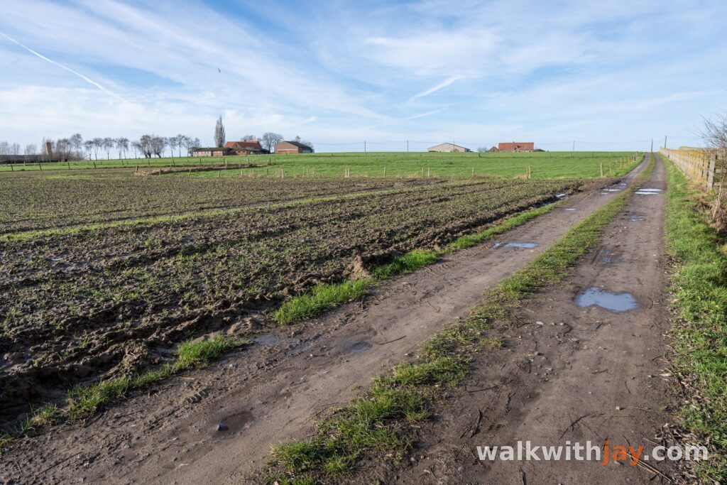
A field track then climbs towards Hill 35. On 22 August 1917, the British Mark IV tank Fray Bentos became stuck in the mud here. Its nine-man crew remained trapped in no man’s land for around 72 hours under constant fire. One member of the crew was killed, while the others eventually escaped during the third night. During those long hours inside the tank, they survived in part by drinking water from the radiator.
The Steenakkermolen
Farther on, the Steenakkermolen comes into view. During the First Battle of Ypres in October 1914, the mill stood close to the front line. Its elevated position made it an excellent observation point, and heavy fighting took place around it.
The original mill was completely destroyed. The fighting in this area gave the site its grim nickname Dodenmolen, or “Death Mill”.
After the war, the same mill was not rebuilt. Instead, the Kruisbergmolen from Pittem, built in 1790, was dismantled and moved to Sint-Juliaan in 1923 to replace the destroyed Steenakkermolen.
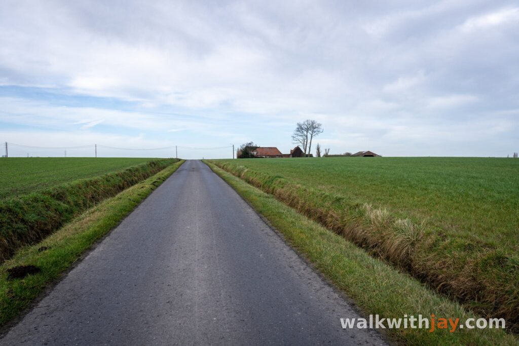
From the mill, the route gradually returns towards the village. The landscape remains open and peaceful, with long views across the fields and small reminders of the past appearing throughout the walk.
Photos from this walk



Good to know
Little shade
Much of the route crosses open farmland, so there is little shade. There is a playground near OC De Hazebrug and picnic benches at the Steenakkermolen.
My experience
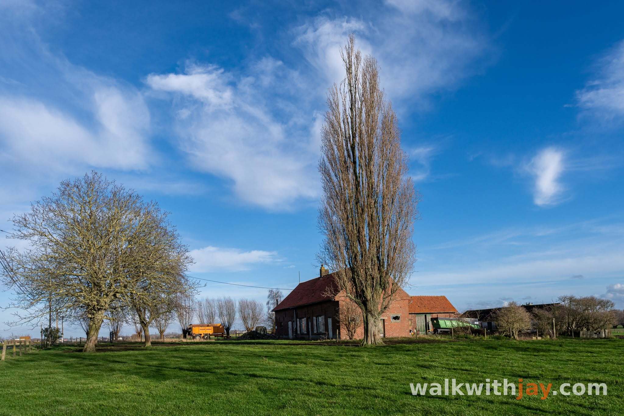
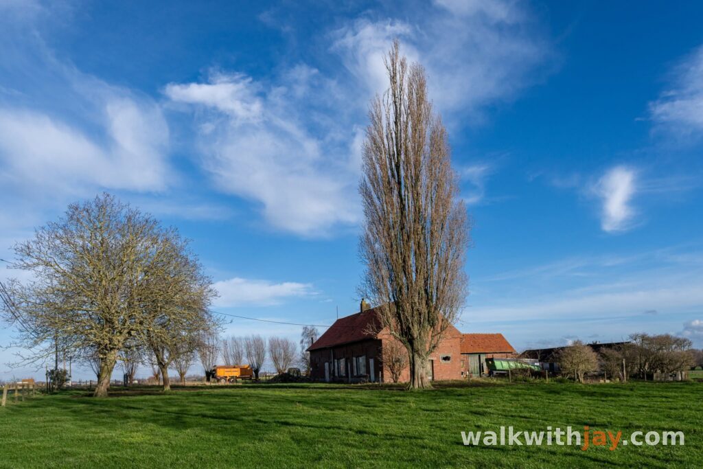
What I enjoyed most about the Toontjespad was the combination of quiet countryside, open views and the stories that keep appearing along the route. The history never takes over the walk, but it is almost always there in the background, at the Steenbeek, Bridge House Cemetery, Hill 35 and finally the Steenakkermolen.
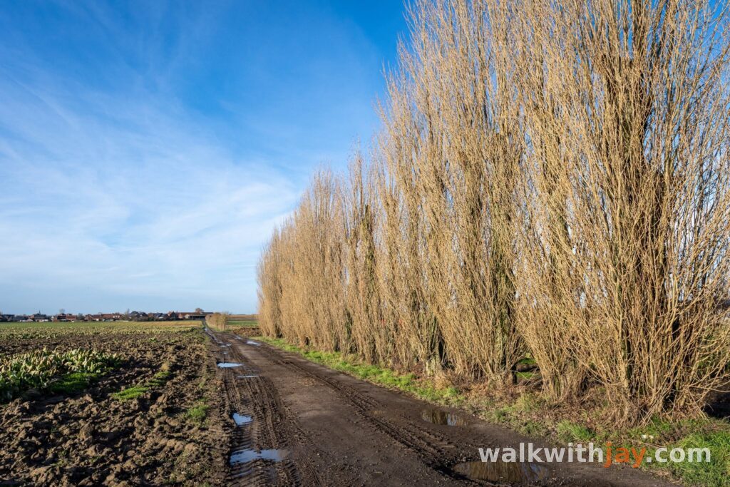
From a nature point of view, this is not the most varied walk in the area. Much of the route follows quiet country roads between open fields. The field track towards Hill 35 and the wider views across the countryside do add some welcome variety.
If you enjoy peaceful rural walks with a mix of local history and First World War heritage, the Toontjespad is an interesting route with more to discover than the landscape might suggest at first glance.
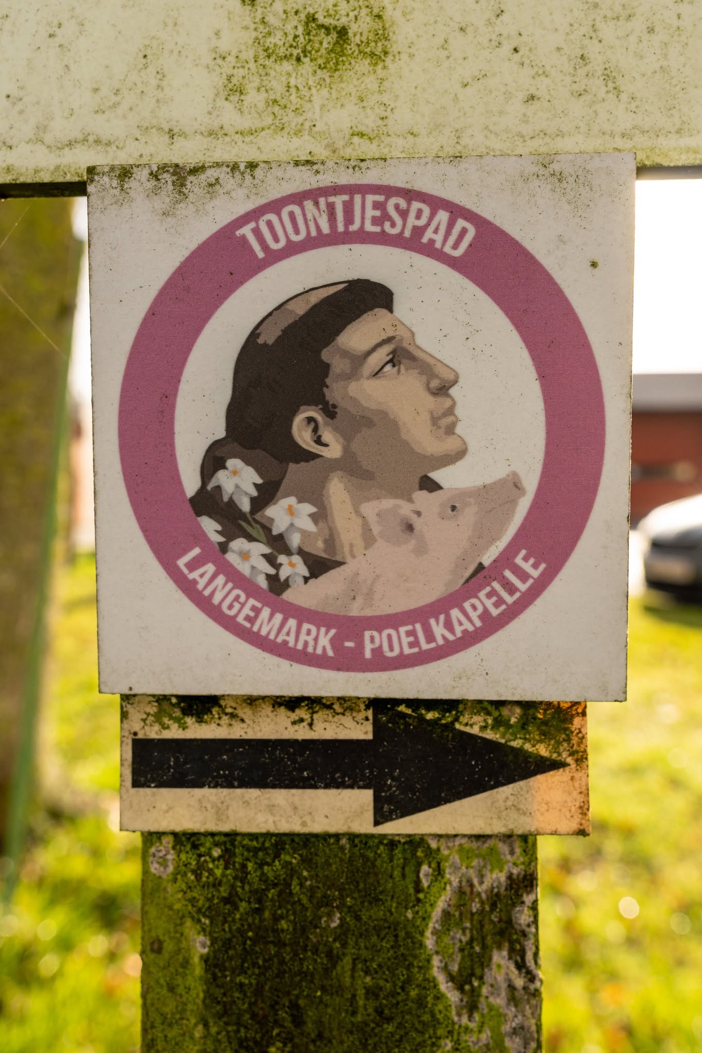
Waymarking
Toontjespad
The Toontjespad is one of Langemark-Poelkapelle’s signposted walking routes. The municipality also provides an official route map.
Places of interest
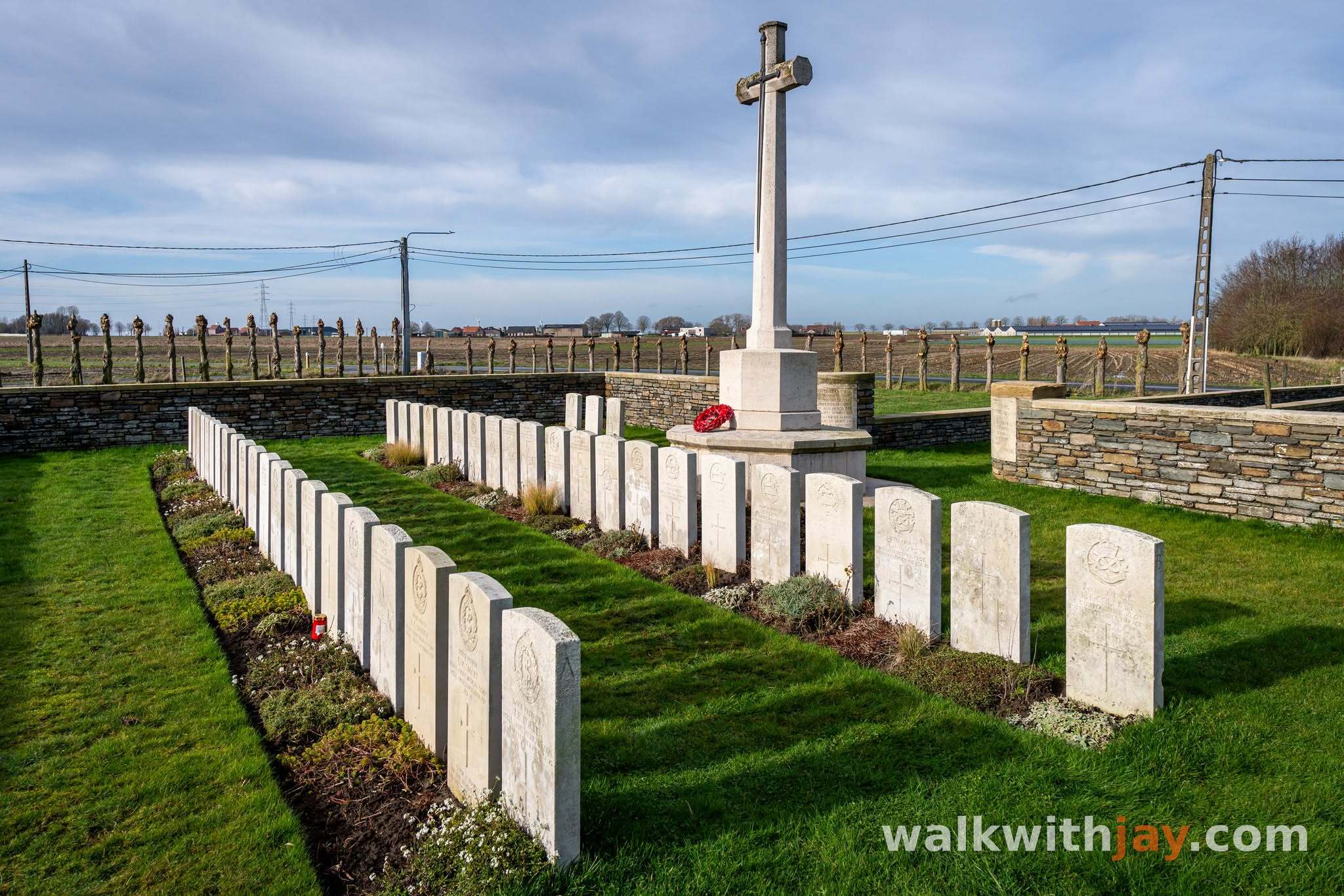
Bridge House Cemetery
Along the route
Small Commonwealth cemetery begun in 1917, containing 45 British burials, four of them unidentified.
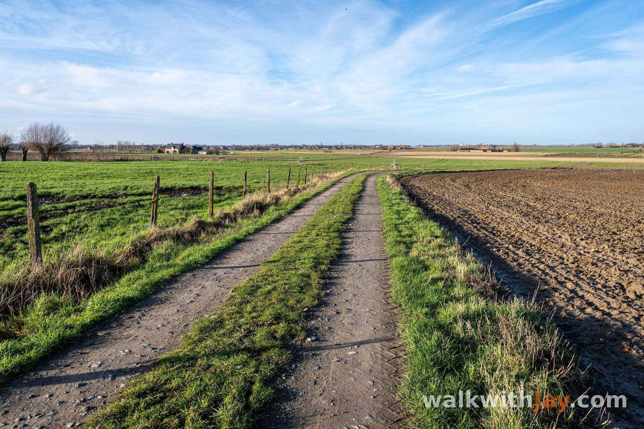
Hill 35 en Fray Bentos
Along the route
Area where the British Mark IV tank Fray Bentos became stuck in August 1917 and its crew remained trapped under fire for around 72 hours.
Ready to set off?
Open the starting point in your GPS and enjoy the walk.