Waterkant Route
Woesten
 3 min read
A rural loop from Woesten following Wippehoek, the Poperingevaart, Galgebossen and two First World War cemeteries.
The walk
The Waterkantroute is an 11.7-kilometre loop starting at Wippehoek in Woesten. It passes through young nature areas, follows the Poperingevaart, crosses Galgebossen and visits two First World War military cemeteries.
Route map
From Wippehoek to the Poperingevaart
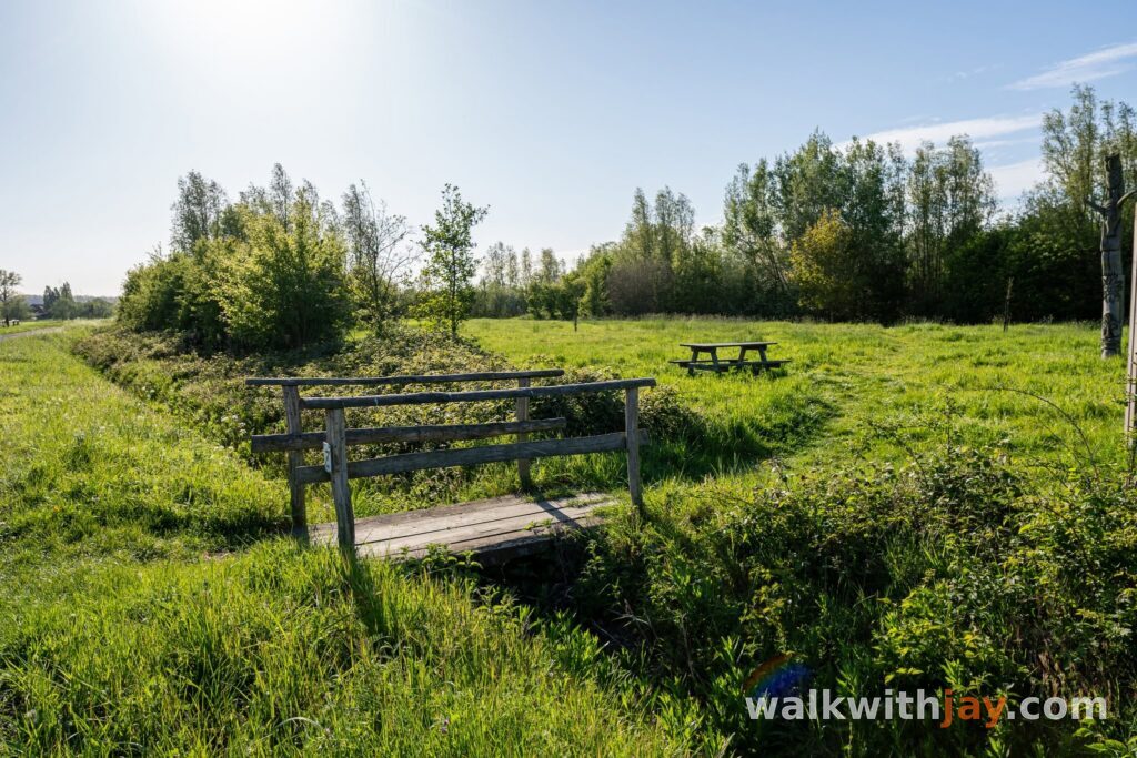
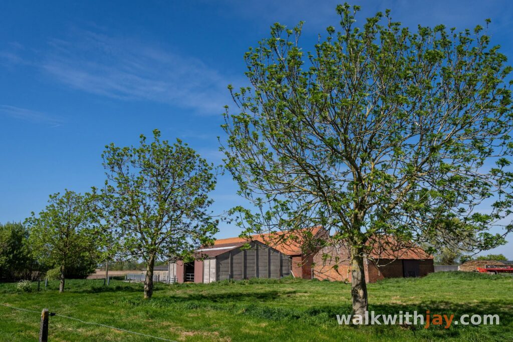
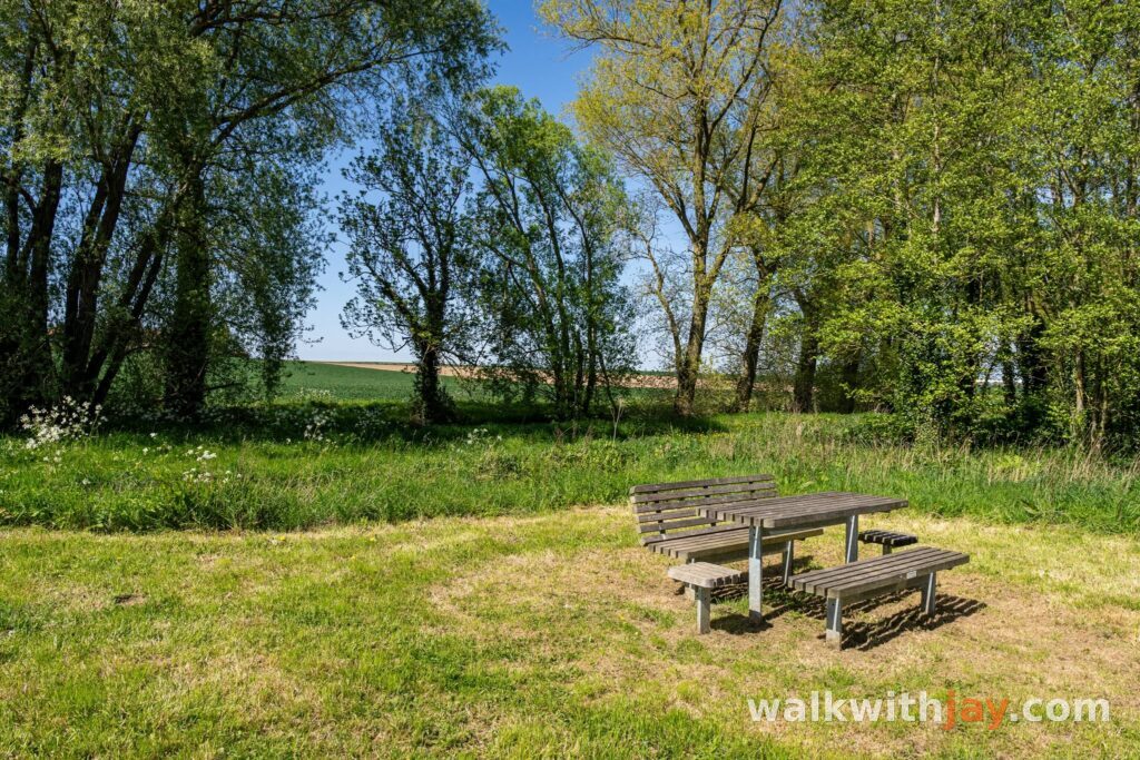
The walk starts at Wippehoek in Woesten. From the car park, you immediately enter a green landscape of woodland, meadows, hayfields and ponds. There is also a small play wood and a few benches close to the start, making it an easy place to spend a little more time after the walk.
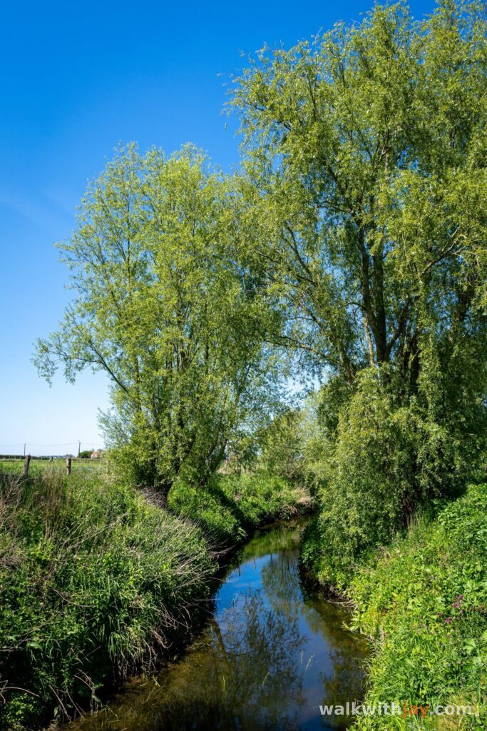
Country paths then lead towards the Poperingevaart. In the 14th century, the waterway was widened to create a navigable link between Poperinge and the River Yser. Trading boats once used it, but difficult maintenance, shallow water and recurring water shortages eventually brought that role to an end.
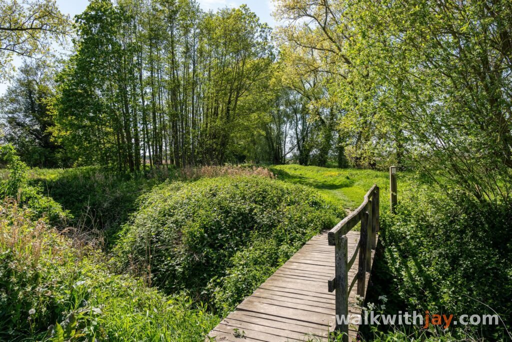
Today, part of the route follows the water on an unpaved path through open countryside. The water stays beside you for a while as most of the buildings disappear from view.
Gwalia Cemetery and the road towards Elverdinge
Following the Poperingevaart brings you to the turn-off for Gwalia Cemetery. The nearby farm was used as an aid post from late June 1917 and was given the name Gwalia Farm by the British. The site later developed into a larger hospital complex.
After visiting the cemetery, you return towards the water and continue to the Elverdingseweg. A short stretch of road is followed by Beleedstraat and more unpaved paths leading towards Galgebossen.
Here, the rural landscape and First World War history sit side by side without feeling like separate parts of the route. The cemetery belongs to the same landscape that once contained the medical infrastructure behind the front.
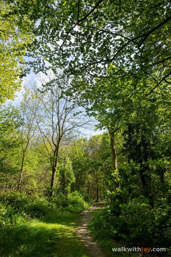
Through Galgebossen
Galgebossen is a peaceful woodland today, but its name points to a much darker past. Until the early 1700s, gallows stood here for people sentenced to death.
During the First World War, the woods largely escaped the destruction suffered by many other wooded areas around Ypres. The British Army used the area as a base and called it Dirty Bucket Camp, a reference to the nearby inn De Vuile Seule. There was a hut used for Church of England services and a small cinema, while the nearby Hospitaalhoeve served as a medical aid post.
The Plankenroute, or Plank Road, connected the woods with Vlamertinge and the route towards the front. Walking here today, very little still suggests how much military activity once took place in this area.
Canada Farm and the return to Woesten
After Galgebossen, the route leaves the woodland and follows paved country roads towards Canada Farm Cemetery. The cemetery takes its name from a nearby farm that was turned into a field hospital by the British and became known as Canada Farm.
Most of the soldiers buried here died of their wounds in the nearby field hospital. The cemetery was established in June 1917, during the Battle of Messines, and used until the end of the Third Battle of Ypres in November that year. A few more graves were added later.
From here, the loop returns to Wippehoek. After almost twelve kilometres, you finish in the same green surroundings where the walk began.
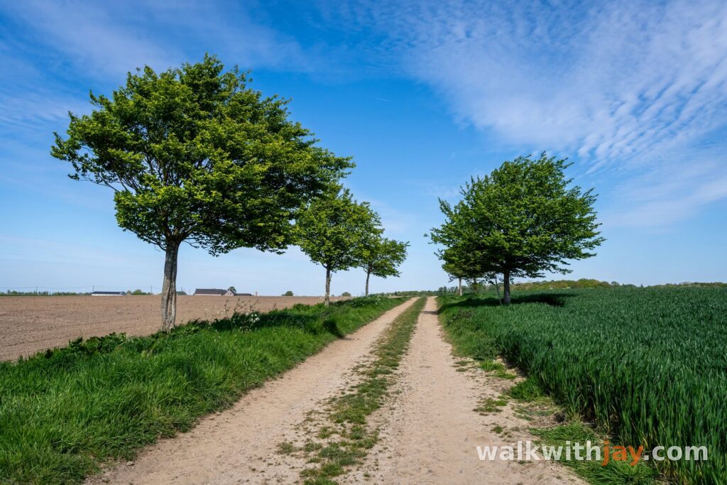
Photos from this walk


Jay’s tips
Leave a little time for Wippehoek when you return. Near the start, there is a woodland play area and a few benches where you can relax after the walk.
Good to know
Muddy after rain
Sturdy footwear recommended
Picnic area or benches
Playground
Military heritage
War cemetery
Nature observation point
The route mixes paved and unpaved sections. Good walking shoes are especially useful beside the Poperingevaart and on the paths leading towards Galgebossen. The paths can be muddy after rain. Along the route, you will find picnic areas, a play area, military heritage and war cemeteries.
My experience
Wippehoek and the unpaved stretch beside the Poperingevaart were both new to me, and that first half of the route was the part I enjoyed most. Along the way, you pass Gwalia Cemetery, walk through Galgebossen and then reach Canada Farm Cemetery. There is plenty of history along the way, but for me this is mainly a rural walk beside the water, through woodland and along quiet paths.
Walking nodes
Wandelnetwerk Hoppeland
Food and drink
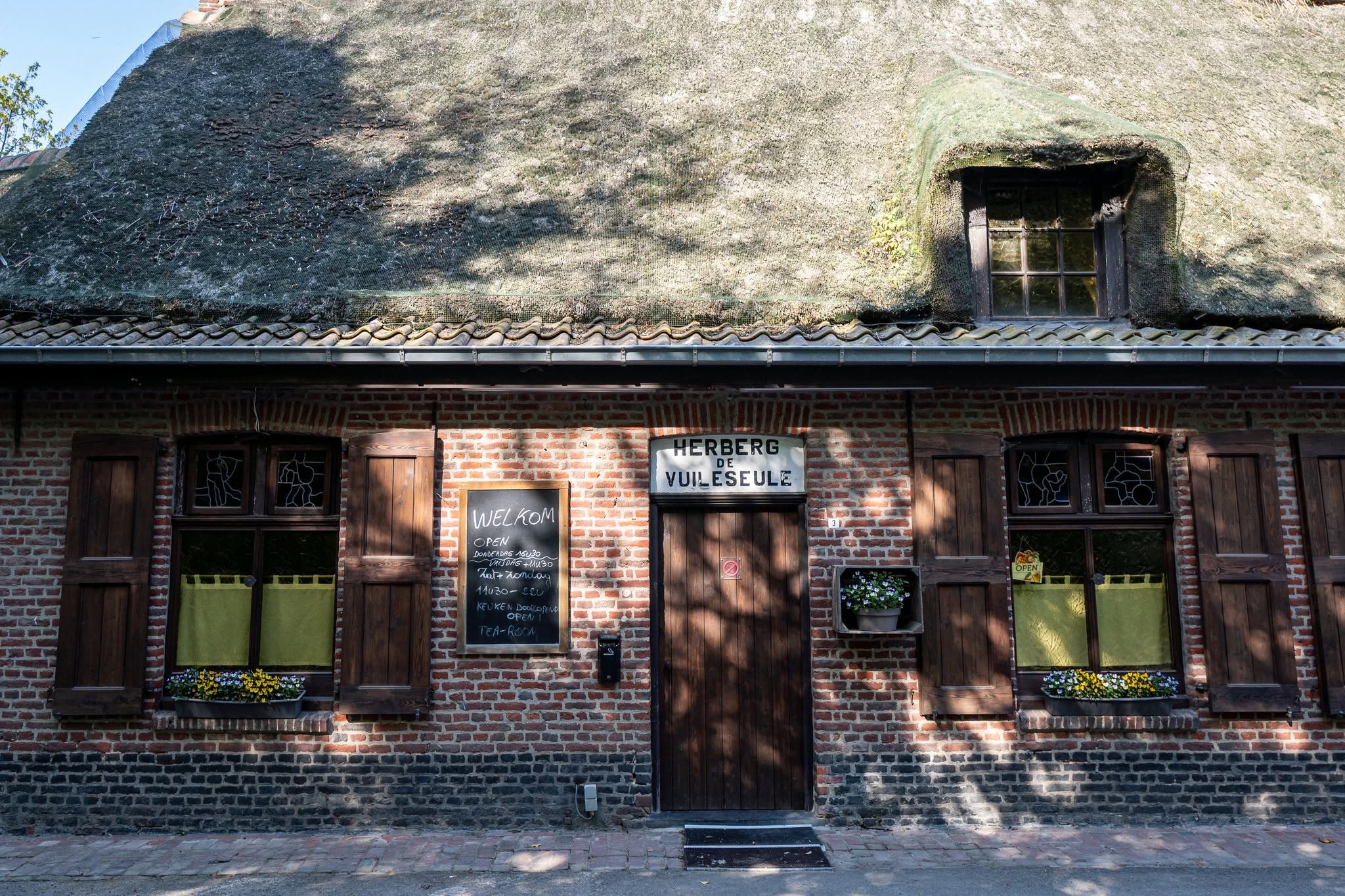
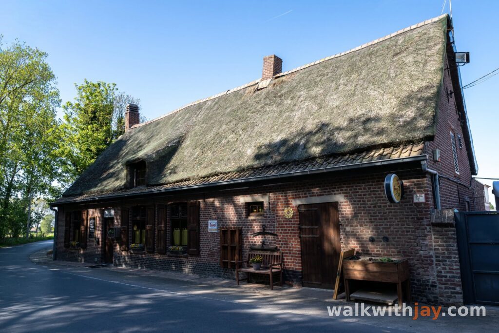
De Vuile Seule
Along the route · after about 8.0 km
Gasthuisstraat 3, 8906 Ieper, Belgium ↗
Website →Places of interest
Wippehoek
Along the route
Young nature area with woodland, meadows, hay fields, ponds, picnic benches and a play area near the start.
Burgweg 35, 8640 Woesten, Belgium ↗
Website →Gwalia Cemetery
Along the route
Military cemetery near the former Gwalia Farm dressing station, containing 470 war graves.
Galgebossen
Along the route
Woodland with picnic areas and a history as a British rear base during the First World War.
Canada Farm Cemetery
Along the route
Military cemetery named after the nearby British field hospital known as Canada Farm.
Ready to set off?
Open the starting point in your GPS and enjoy the walk.