Fort van Beieren
Koolkerke
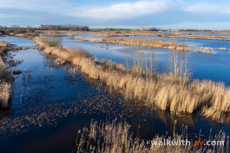
A short green walk through a historic earthwork fort, with old ramparts, defensive ditches, natural play areas and the Damse Vaart nearby.
The walk
Fort van Beieren lies in Koolkerke, just outside Bruges. The provincial domain lets you walk between the ramparts, ditches and bastions of a fort dating from the War of the Spanish Succession. Today, the site feels green and peaceful, but the original shape of the fort is still surprisingly easy to recognise.
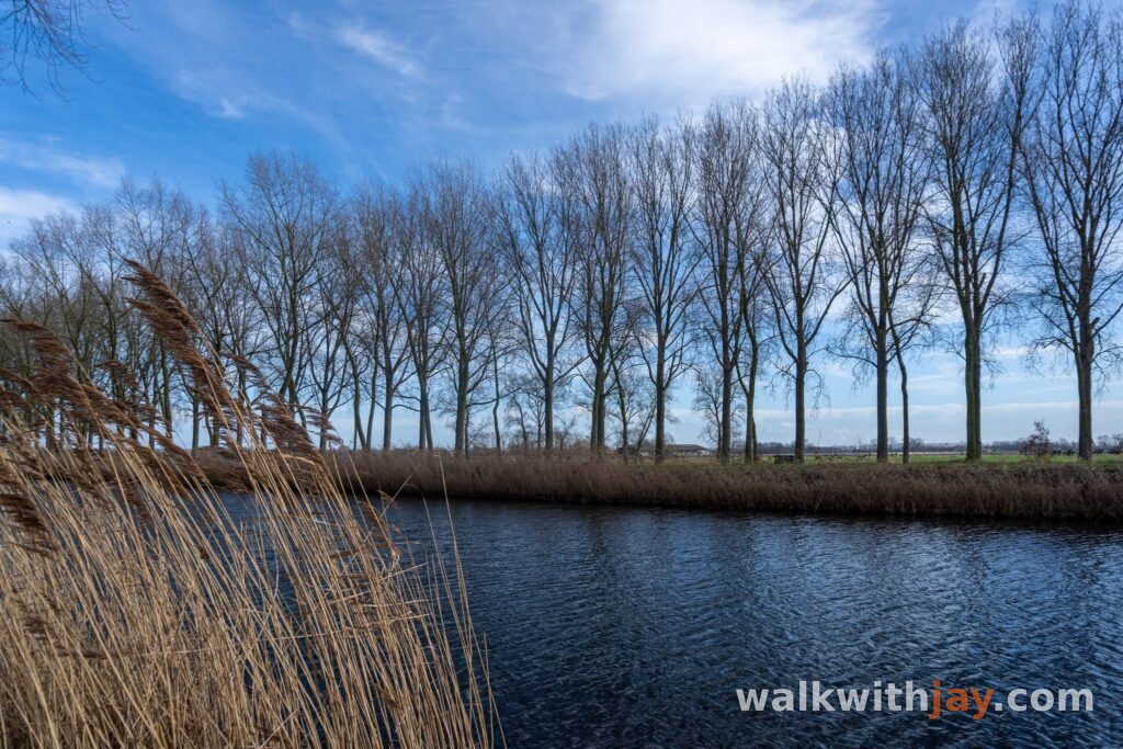
The walk itself is fairly short. If you want to make it longer, it is easy to continue towards the Damse Vaart.
A French fort outside Bruges
Fort van Beieren was developed during the War of the Spanish Succession. French troops first established a military camp here before turning it into a fortified position between Bruges and Damme in the early 18th century. It formed part of a wider defensive line intended to protect the Southern Netherlands against attacks from the north.
The fort was named after Maximilian II Emanuel of Bavaria, then governor of the Southern Netherlands. It was built according to the French bastioned system, with a central square, four bastions, defensive ditches and a ravelin.
The fort was never actually besieged. After the French defeat at Ramillies in 1706, it remained in military use and troops continued to be stationed here until 1748.
From fort to provincial domain
After 1748, the site lost its military role and passed into private ownership. Parts were used as farmland and pasture, while other sections gradually became wooded. This helped preserve much of the earthwork structure and the old ditches.
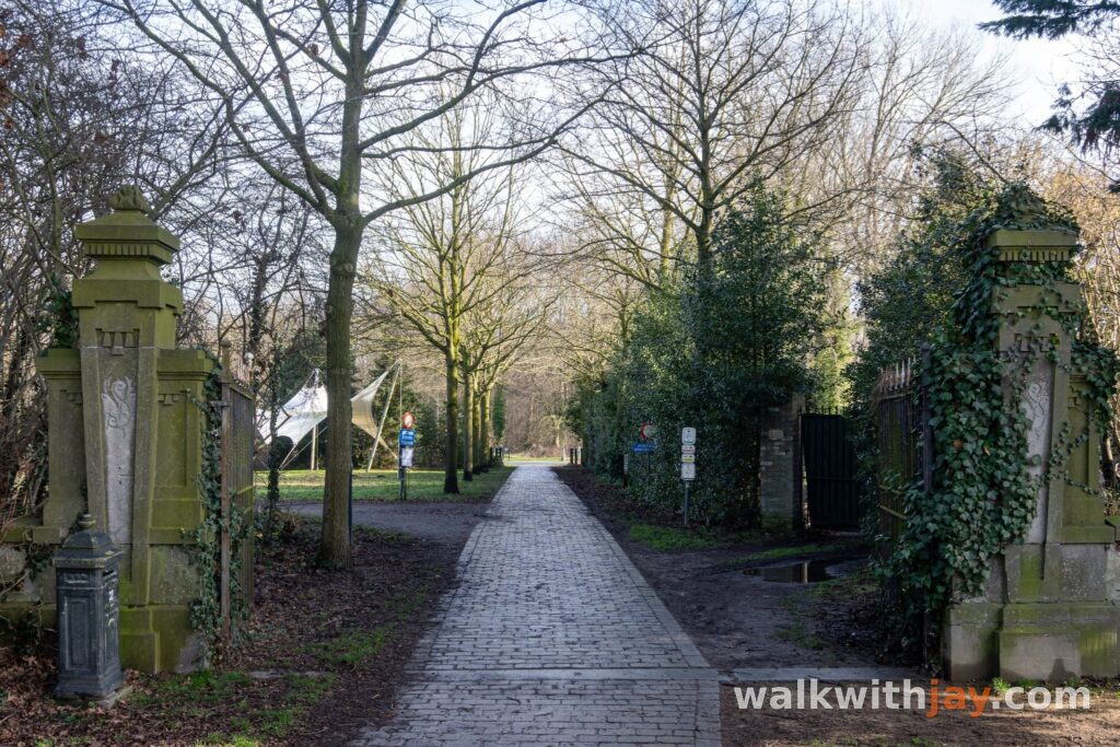
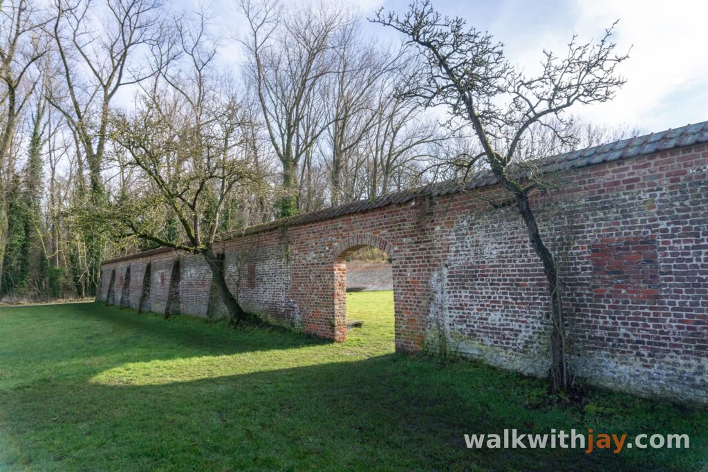
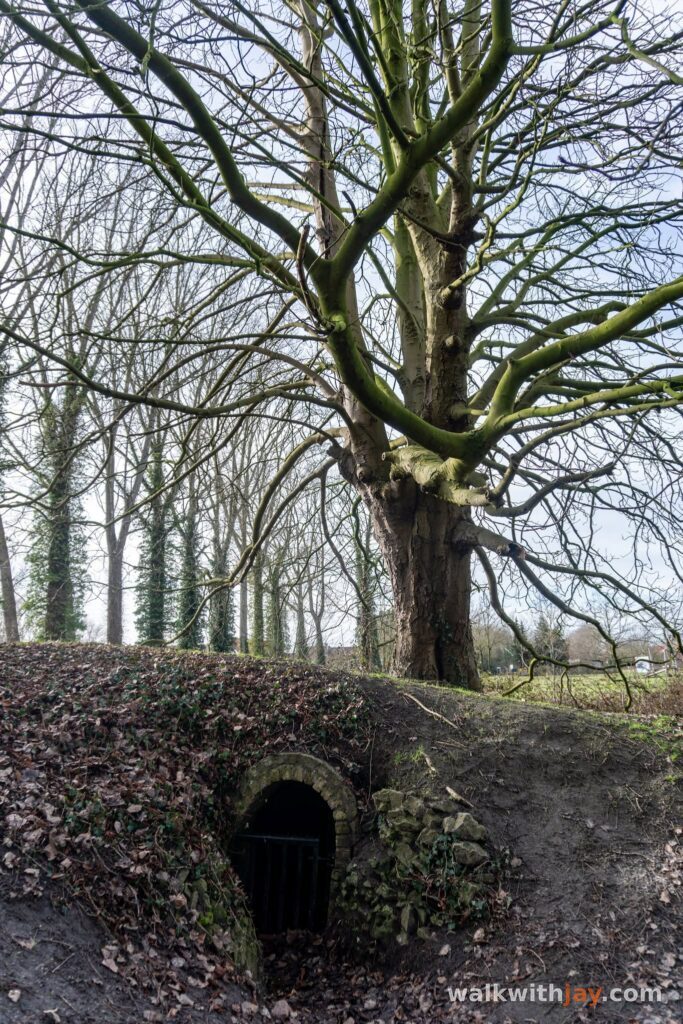
During the Second World War, a German field battery was temporarily positioned within the fortifications. The Fort de Bavière castle estate also stood on the south-western side of the fort. The castle was damaged during the German occupation and demolished in 1956. Several traces of the former estate still survive, including sections of wall, entrance features and an ice house.
The Province of West Flanders acquired Fort van Beieren in 1998. Since then, the site has been managed as a provincial domain, with both its natural character and the historic structure of the fort preserved.
Walking along the ramparts and bastions
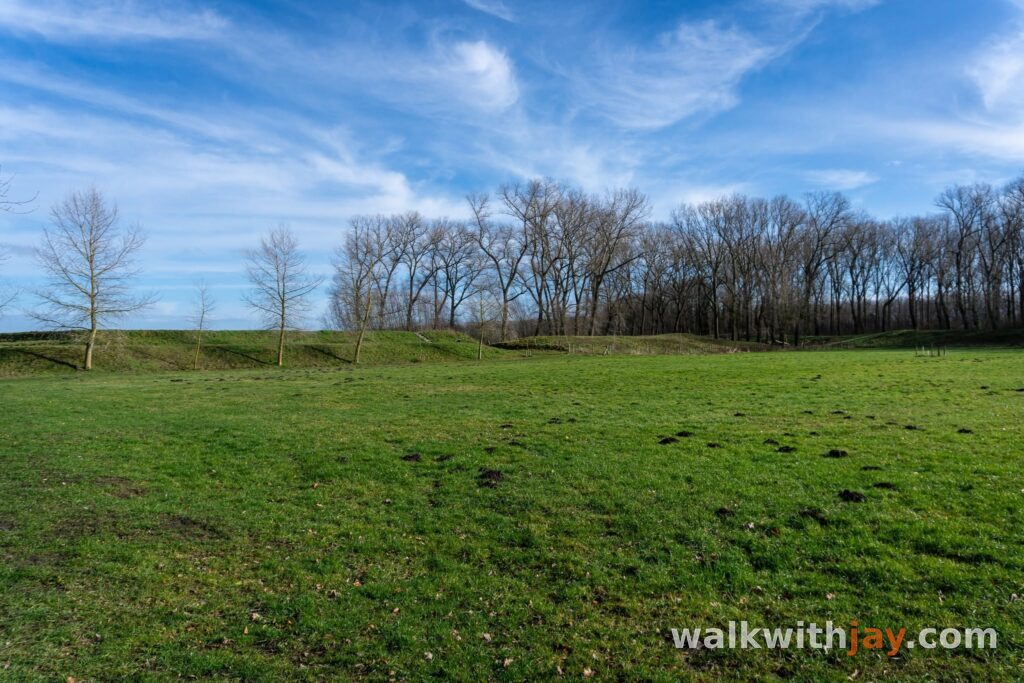
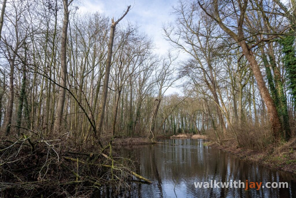
The paths follow the old ramparts, ditches and bastions, so it is quite easy to understand how the fort was originally laid out as you walk. At the same time, it does not feel like a heavily developed historical attraction.
The restored north-western bastion also has a natural play area with five viewing points overlooking the surrounding polder landscape.
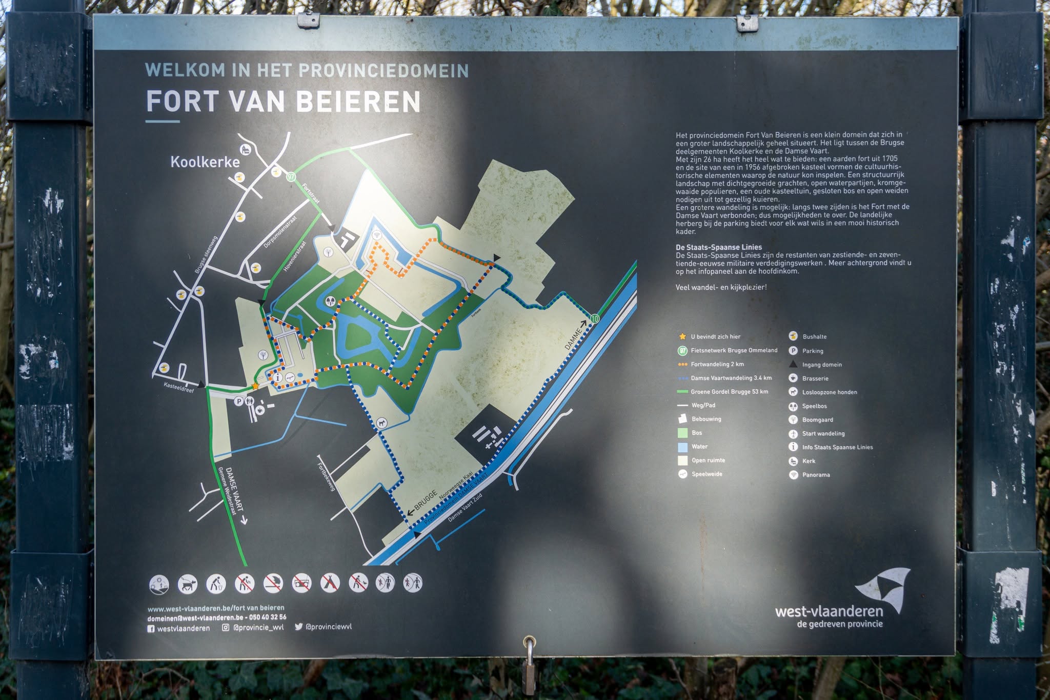
The Province of West Flanders currently lists two walks of 2.2 and 3.3 kilometres through and around the domain. If you want a longer outing, you can easily continue towards the Damse Vaart.
The short distances, natural play area, picnic facilities and several places to stop make Fort van Beieren a good option for families with children as well. There is also a brasserie at the entrance where you can get something to eat or drink before or after the walk.
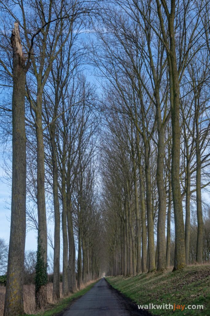
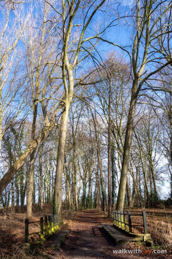
Photos from this walk

Jay’s tips
If you mainly want to explore the fort itself, the shorter loop is more than enough. For a longer walk, I would combine the domain with a stretch along the Damse Vaart.
Good to know
Busy at weekends
Picnic area or benches
Playground
Heritage or historical site
Fort
The domain is open from sunrise to sunset. There are picnic areas, natural play facilities, cycle parking and an off-lead dog area. Toilets are available during the brasserie’s opening hours.
My experience
I had never visited Fort van Beieren before and only ended up here because I happened to be in the area. For such a compact site, I found it surprisingly interesting. The ramparts, ditches and bastions are still clearly visible, making it quite easy to understand how the fort was once laid out as you walk around.
At the same time, it now feels more like a small and peaceful natural area. That contrast is what I enjoyed most: you are walking through a former military site, but the atmosphere today is completely different.
As a destination on its own, the walk is fairly short. I would therefore mainly recommend Fort van Beieren for a short outing or as part of a longer walk towards the Damse Vaart. With children, the natural play area and the many places to stop are useful extras.
Waymarking
Not waymarked
Route map available on site
Places of interest
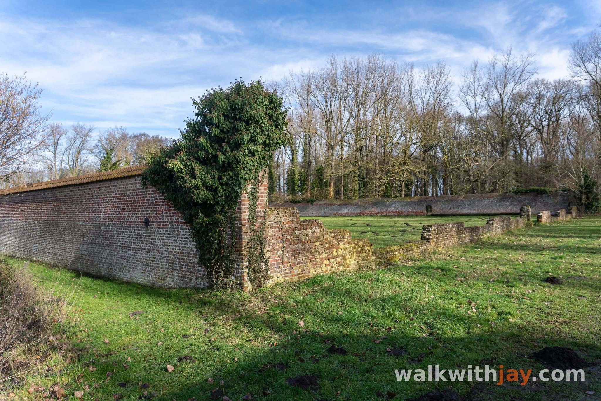
Fort van Beieren
At start/finish
Well-preserved earthwork fort from the War of the Spanish Succession, with visible ramparts, bastions and defensive ditches.
Kasteeldreef, 8000 Koolkerke, Belgium ↗
Website →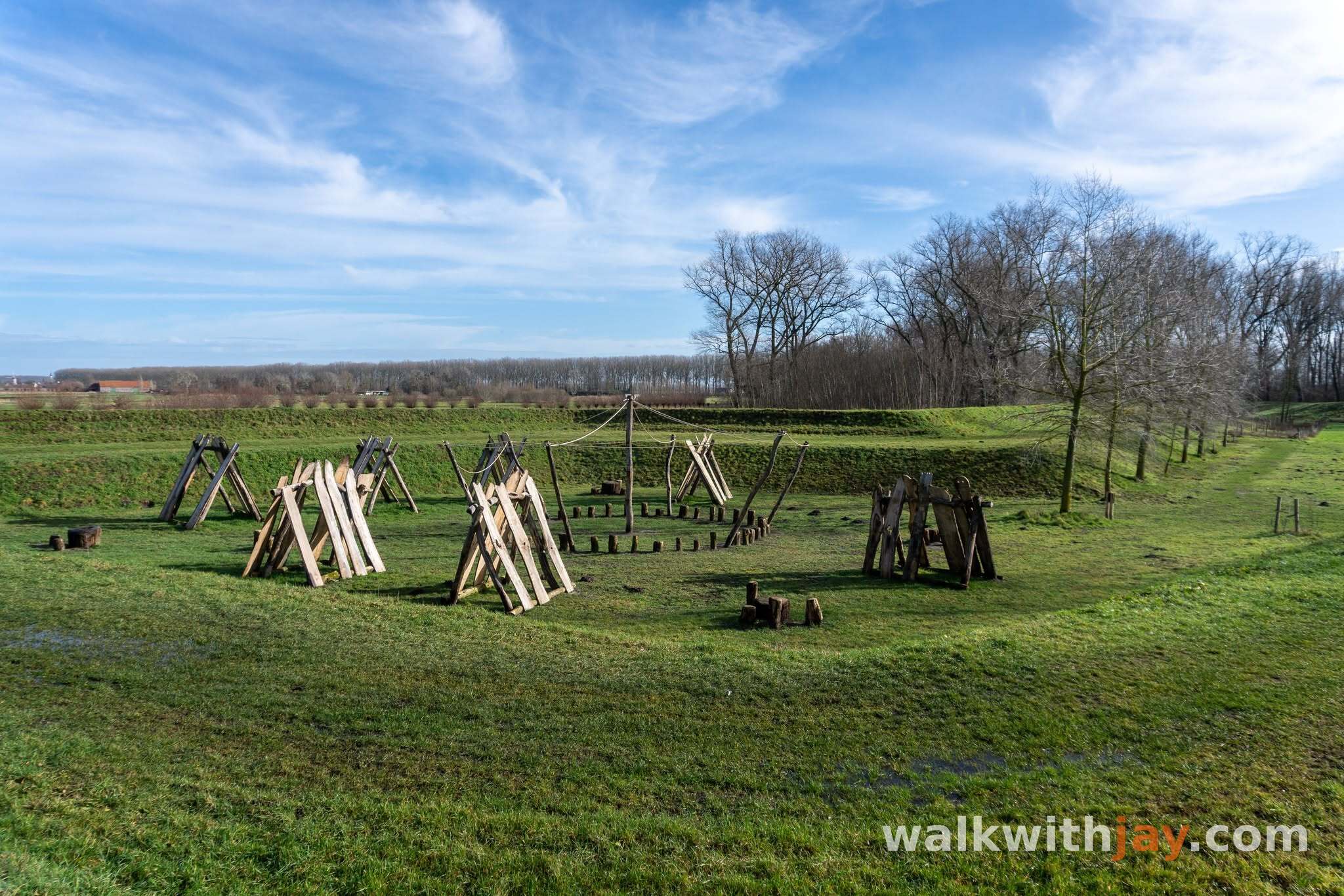
Speelnatuur en kijkpalen
Along the route
Natural play area on the restored bastion, with five viewing points overlooking the surrounding polder landscape.
Provinciedomein Fort van Beieren, Kasteeldreef, 8000 Koolkerke, Belgium ↗
Website →Ready to set off?
Open the starting point in your GPS and enjoy the walk.