Natte Broeken Route
Werken
 4 min read
A short loop through Werken and the Handzame Valley, with wet grasslands, wide views and plenty of local history.
The walk
The Natte Broekenroute is a 5.2-kilometre loop starting in Werken. It links the old village centre with the wet grasslands of the Handzame Valley, passing places connected with shipping, farming, medieval settlement and both world wars.
From Hemelsdale to the Steenstraat
The walk starts at the Landschapsbelevingscentrum De Handzamevallei, on the site of the former Hemelsdale Abbey. The abbey was destroyed in 1578 during the religious unrest. The nuns moved to Bruges, and the abbey was never rebuilt in Werken.
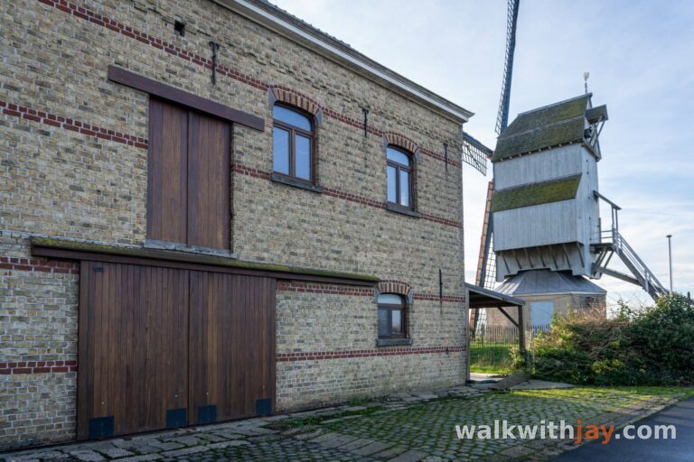
From there, the route heads towards the Kruisstraatmolen. Kortemark once had many mills. The mill that stood here from 1876 was destroyed at the end of the First World War. In 1921, a new post mill was erected using parts of the Sneppemolen from Torhout.
A little farther on, you reach the Steenstraat, an old route that goes back to the Roman road between Cassel and Aardenburg. After crossing it, the houses quickly disappear behind you and the path leads out into the fields. On a clear day, the Yser Tower can be seen in the distance.
Through the Broeken of the Handzame Valley
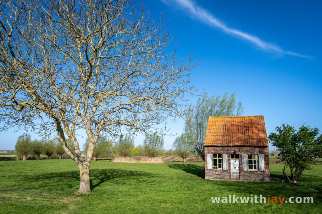
When the route reaches the Steenstraat again, you pass an old boatman's house dating from 1899. Boatmen working on the Handzamevaart could once stay here overnight. Their flat-bottomed boats were often pulled by people or horses and only sailed when the wind was favourable.
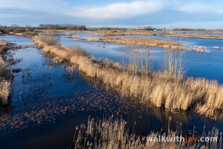
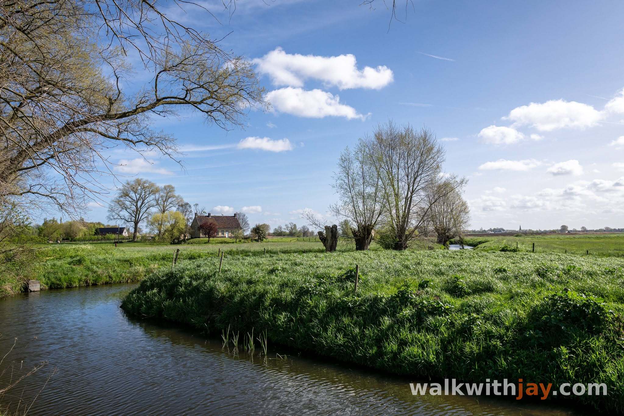
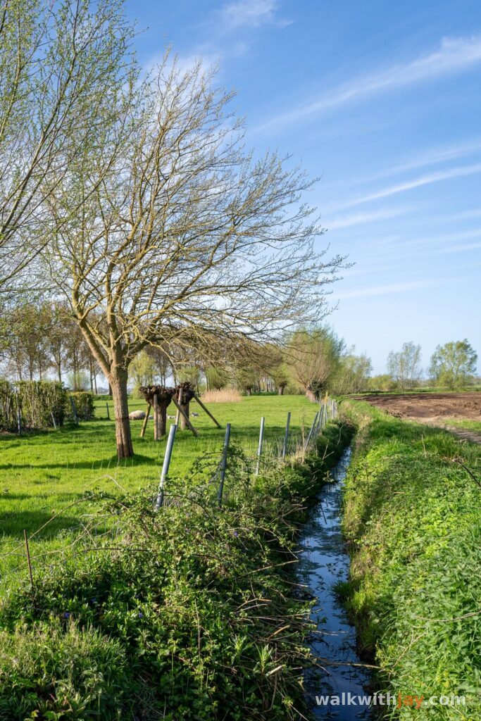
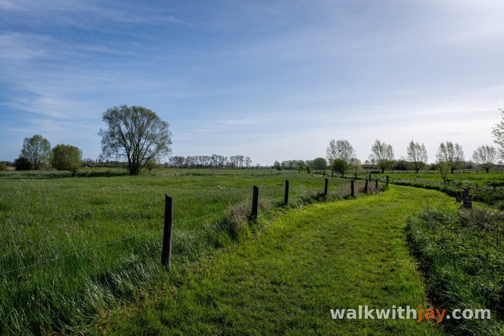
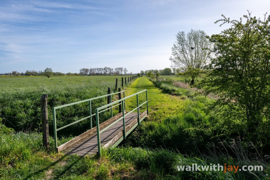
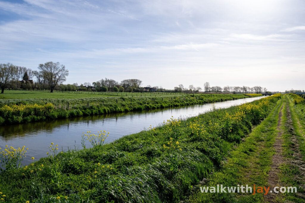
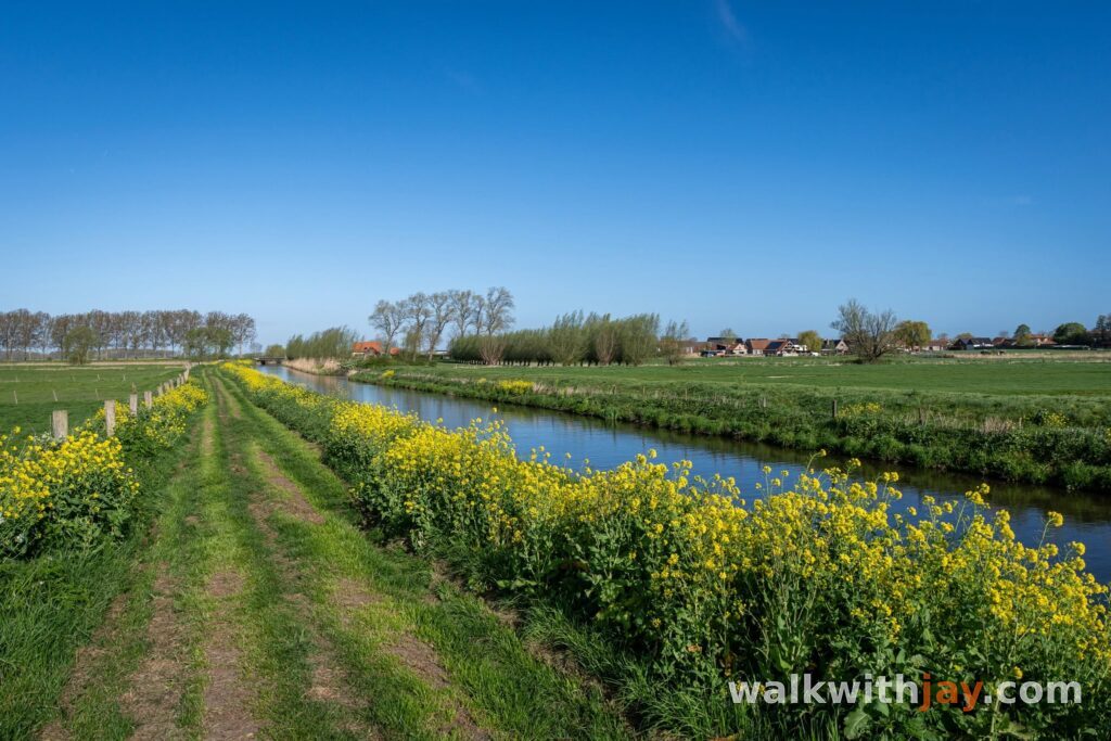
The walk then enters the open Broeken of Werken and Zarren. Low wet grasslands, drainage ditches and long views define this part of the route. During wet periods, sections of the valley can flood, which explains the name of the walk particularly well.
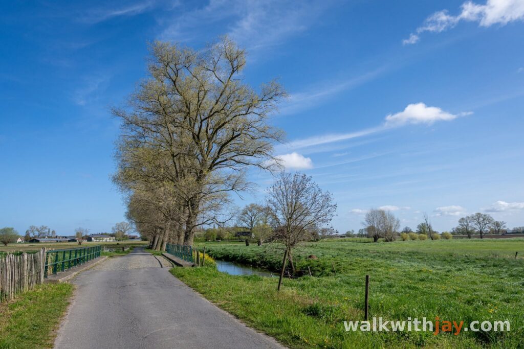
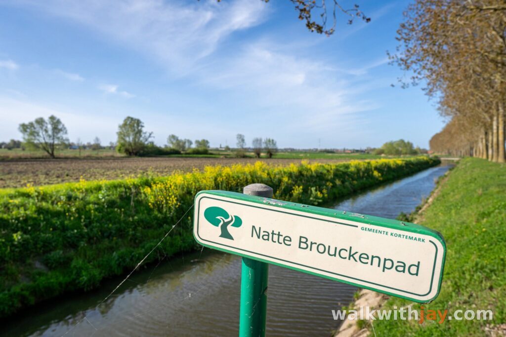
For centuries, the Handzamevaart played an important role in the region. It drained the valley but was also used to transport goods. As the waterway gradually became harder to navigate, cargo increasingly had to be transferred at Werken and continue by road.
Hoge Andjoen, the pumping station and Barisdam
As Werken comes back into view, the Hoge Andjoen stands beside St Martin's Church. This medieval motte is one of the best-preserved examples in Flanders. The original motte-and-bailey castle consisted of a raised upper court and a lower bailey surrounded by ditches. Locally, the name is linked to ‘andjoen’, the dialect word for onion, referring to the different layers of the mound.
Farther on, you reach the pumping station at Werken. It regulates the water level in the Broeken and helps keep the valley drained when necessary. From here, there is a broad view across the low-lying landscape you have just walked through.
The route then enters the Broeken once more towards Barisdamstraat. The name refers to an old transhipment point along the Handzamevaart. Near Barisdamhoeve there was once a fortified site and later a small castle. It was demolished around the middle of the 19th century and replaced by a farm, which was badly damaged during the First World War and rebuilt afterwards.
Back through old Werken
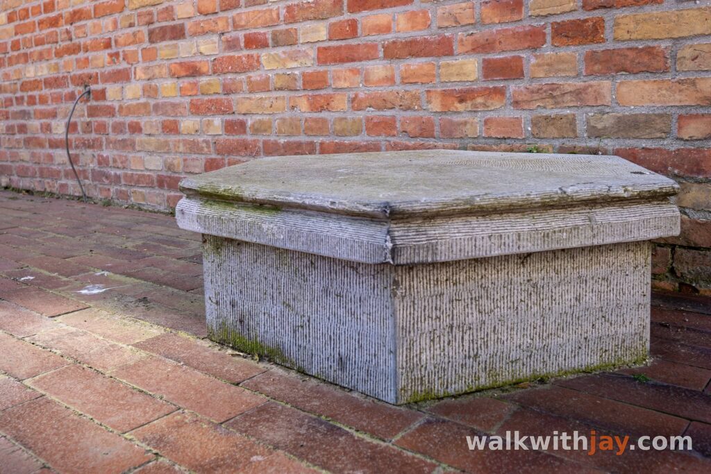
On the return towards the village centre, you pass the former town hall, the war memorial and an old calling stone. From stones like this, announcements were once read out to local residents, often after Sunday Mass.
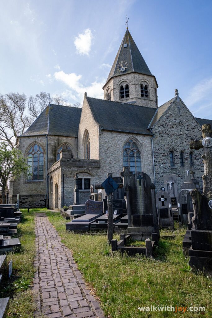
The route then reaches St Martin's Church. A church has stood on this site since the early Middle Ages, although it has been destroyed and rebuilt several times over the centuries. The church consecrated in 1928 after the First World War was itself badly affected during the Second World War.
On 22 October 1941, a British bomber was shot down over Werken. All six crew members were killed and buried near the church. In July 1943, the village centre was hit again, this time by Allied bombing, and the church burned down completely. It was rebuilt between 1947 and 1950 and reopened in 1950. From here, only a short stretch remains back to the starting point.
Photos from this walk





Jay’s tips
Take a little time at the pumping station. It gives you one of the best views across the open Handzame Valley.
Good to know
Muddy after rain
Sturdy footwear recommended
Little shade
Picnic area or benches
Playground
Bicycle parking
Heritage or historical site
Monument
Church
Military heritage
Cemetery
War cemetery
Historic village or historic centre
Nature observation point
After rain, the unpaved paths through the Broeken can become very wet and muddy. Good walking shoes are strongly recommended.
My experience
For a walk of just over five kilometres, there is plenty of history to discover, but the part I remember most is not the old village centre. It is the Broeken themselves: the open landscape, wet grasslands and wide views across the valley. That was the part of the walk I enjoyed most. The historic sites add variety and give you a reason to pause along the way.
Waymarking
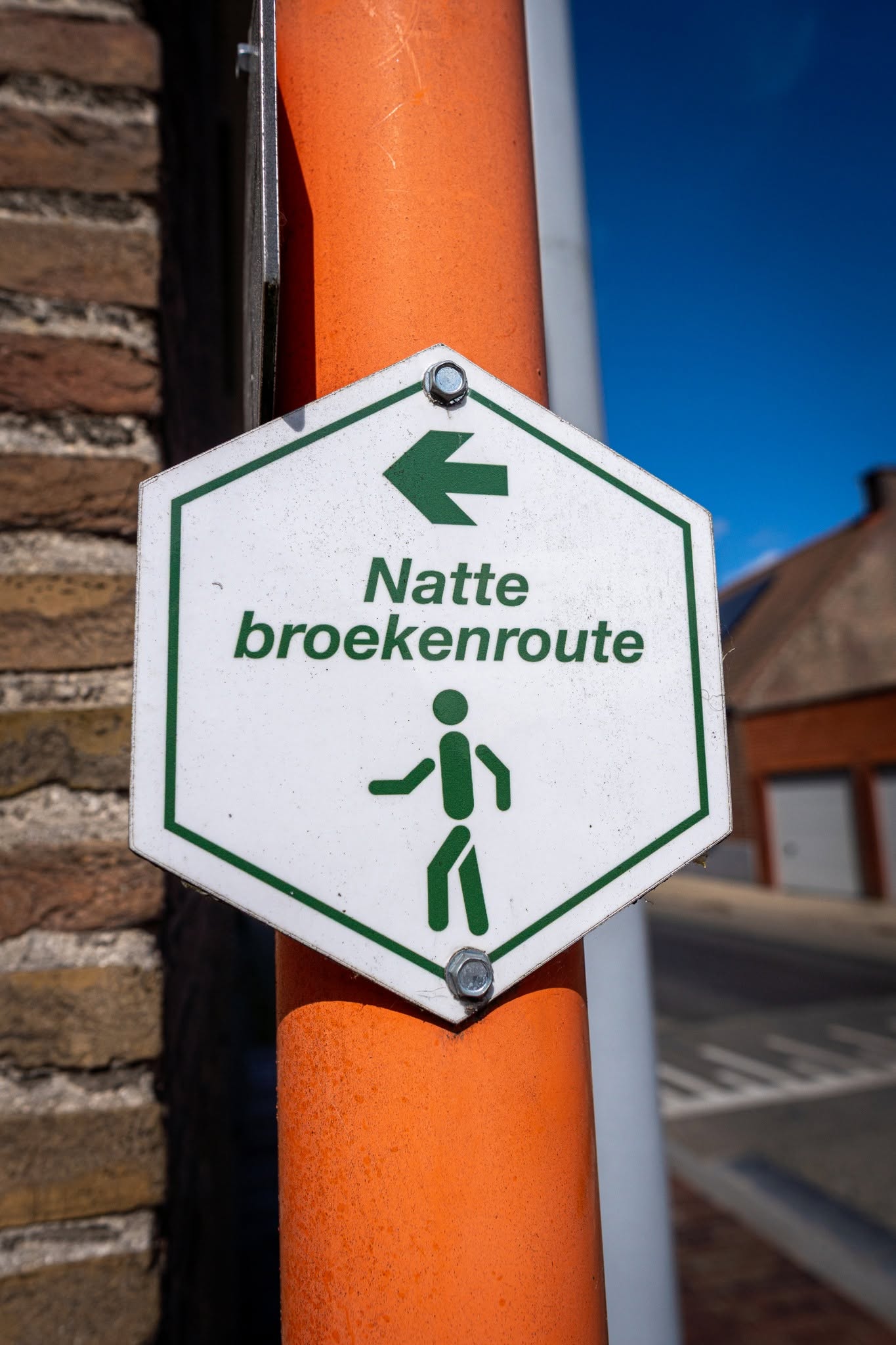
The route is marked with hexagonal signs carrying green markings.
Food and drink
Places of interest
Kruisstraatmolen
Along the route
Historic post mill along the route, rebuilt in 1921 using parts of the Sneppemolen from Torhout.
Hoge Andjoen
Along the route
Medieval motte near St Martin’s Church and one of the best preserved motte mounds in Flanders.
Sint-Martinuskerk
Along the route
Historic village church with a turbulent past and the graves of six Allied airmen killed in 1941.
Ready to set off?
Open the starting point in your GPS and enjoy the walk.