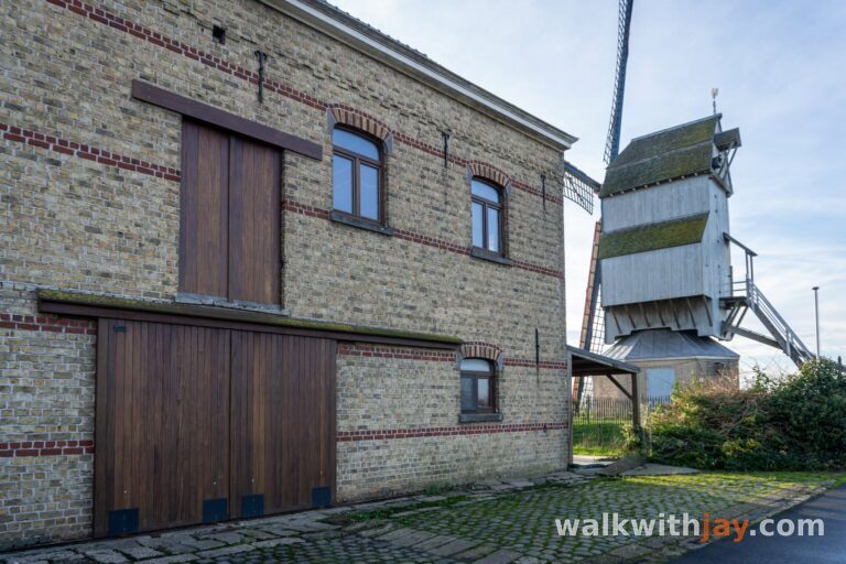
Stuvetjesroute
Stuivekenskerke
 4 min read
An open polder walk from Stuivekenskerke along the Yser, Viconia clay pits and several First World War sites.
The walk
The Stuvetjesroute starts in the small polder village of Stuivekenskerke and covers roughly 9 kilometres around the Yser. With an extra loop through the Viconia clay pits, my walk came to around 10 kilometres. The route follows the Yser for a while, passes Oud-Stuivekenskerke and Reigersvliet, and later returns through the Viconia clay pits before heading back to the village.
Stuivekenskerke and Viconia
The walk starts in Nieuw-Stuivekenskerke, but the history of the area reaches much further back. In Roman times, this was a landscape of tidal flats and salt marshes where human activity was already present. Storm surges in the 4th century flooded the area again and settlement disappeared for a time before the land was gradually reclaimed.
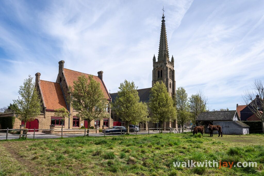
The name Stuivekenskerke is old as well. It comes from the Germanic ‘Stuvinas karika’, meaning the church of Stuvin. The present village centre only developed in the 19th century; the original settlement, Oud-Stuivekenskerke, lies a few kilometres away and appears later on the walk.
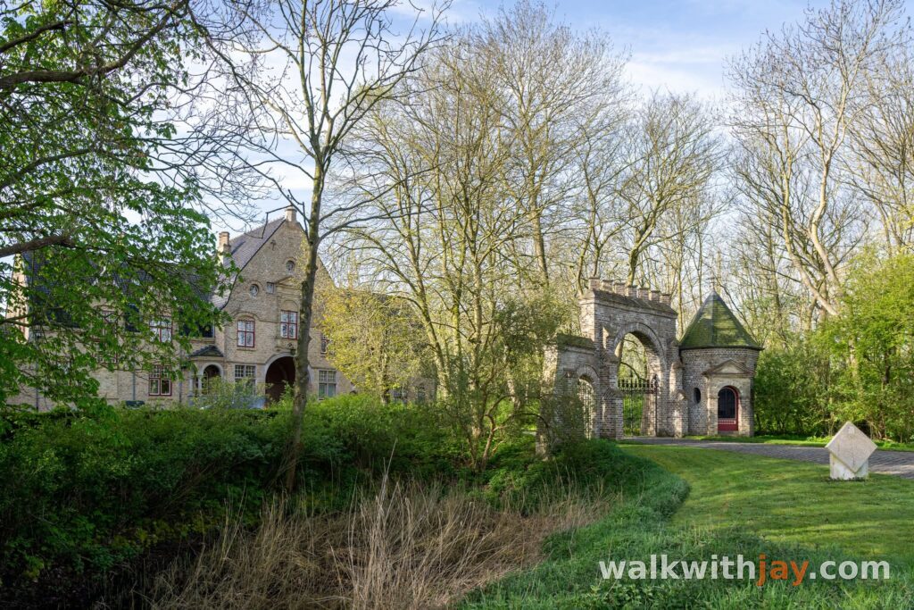
From the church, the route heads towards Kasteelhoeve Viconia. The farm began in the Middle Ages as an outlying estate of an abbey and later grew into a large agricultural site with a brewery, smithy and bakery. During the First World War, it was used by German troops and heavily damaged in 1918.
Along the Yser towards Oud-Stuivekenskerke
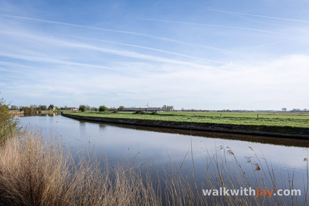
After the Viconia clay pits, you reach the Yser. Across the river lies Tervate, known for the heavy fighting around its bridge in October 1914. After taking Keiem, German troops tried to continue towards Nieuwpoort. More than 900 soldiers were killed in the fighting.
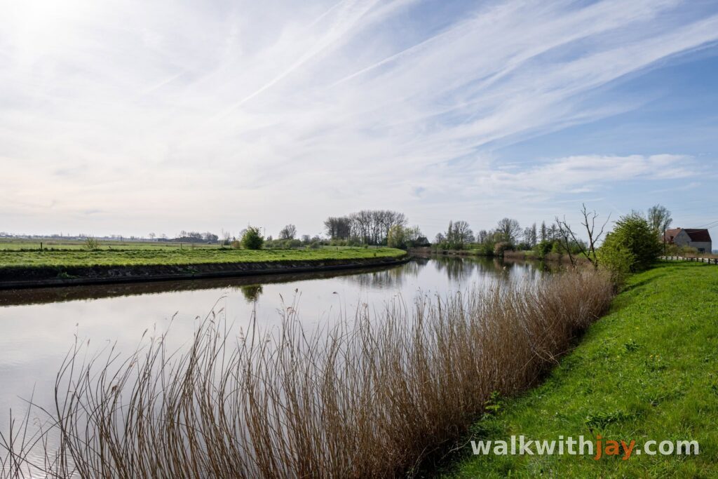
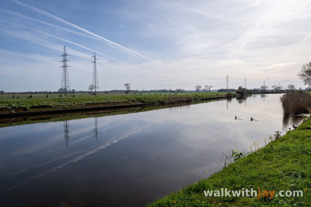
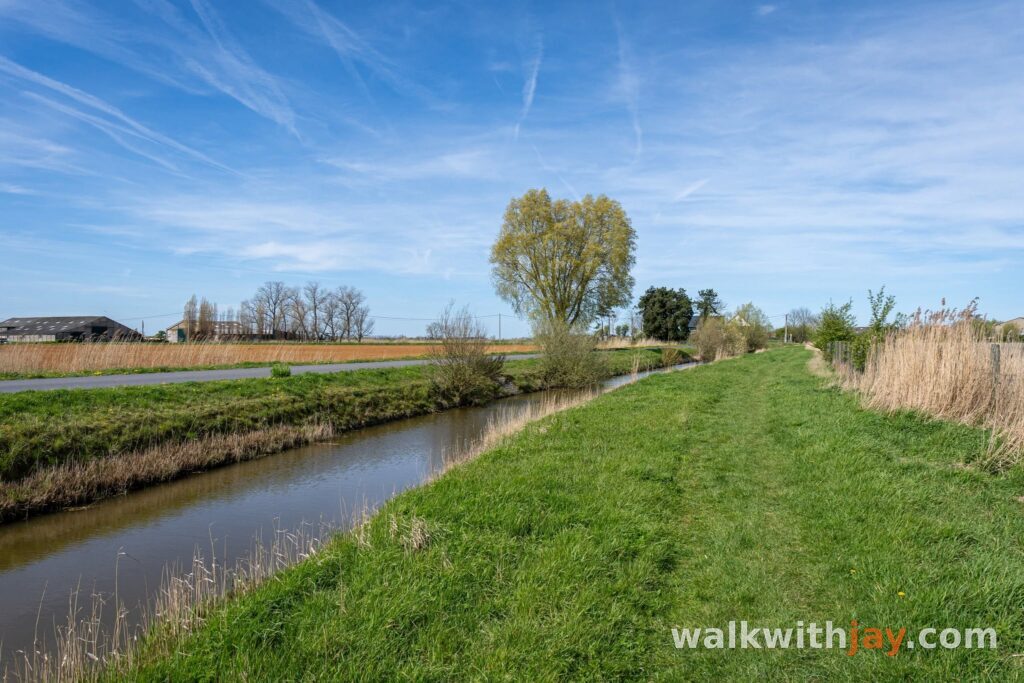
The Stuvetjesroute turns right here and follows the Yser for a while. This is the most heavily paved part of the walk and the path is also used regularly by cyclists. When the grass is not too high, it is often possible to walk beside the paved surface instead.
Before reaching the oil tanks, the route turns onto the Oud-Stuivekenspad. Anyone interested in the wartime landscape can make a short detour to the tanks. German troops used them as an observation point and held the position despite several attacks.
Oud-Stuivekenskerke and Reigersvliet
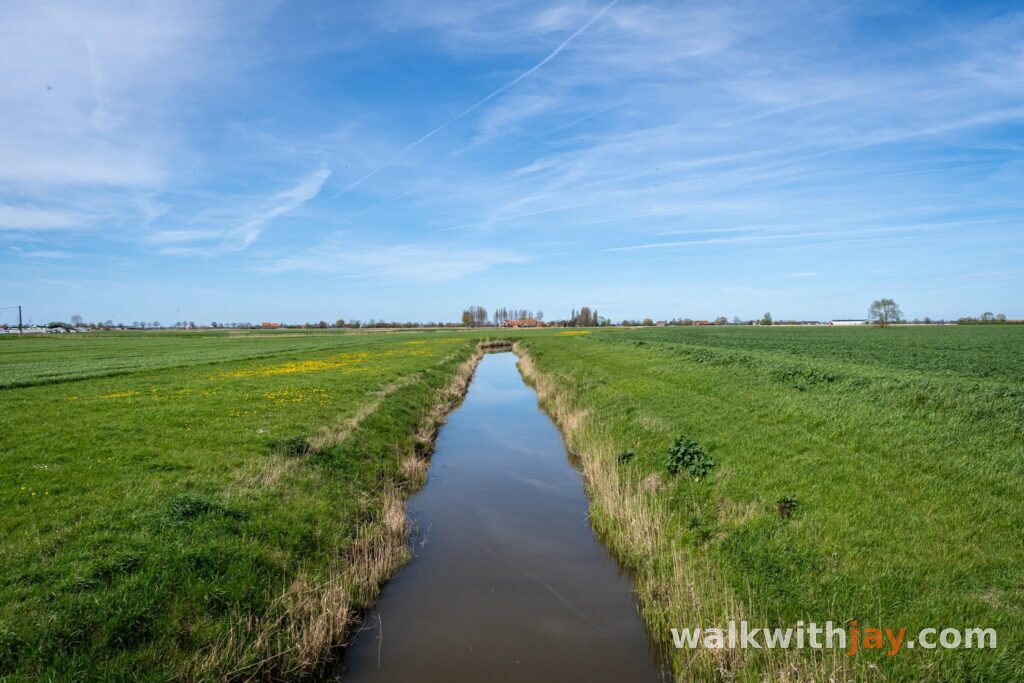
The open polders lead towards Oud-Stuivekenskerke and the Onze-Lieve-Vrouwhoekje. During the First World War, this was an advanced Belgian position. The old church tower served as an observation post and formed part of a network of trenches, bunkers and forward positions.
Under Lieutenant Martial Lekeux, the Zuidelijke Grote Wacht was established here. The tower was heavily shelled and largely destroyed. An unexploded shell that landed near a statue of the Virgin Mary later played a part in the creation of the Onze-Lieve-Vrouw ter Zege chapel. Memorial stones around the chapel now commemorate Belgian units that fought in this sector.
A little farther on, the route passes an archaeological site where traces of medieval settlement have been found and where a feudal motte may once have stood. The walk then reaches Reigersvliet. Belgian forward positions stood along this waterway and were connected by footbridges. Heavy fighting took place here in March 1918 during what became known as the Battle of Reigersvliet.
Back through the Viconia clay pits
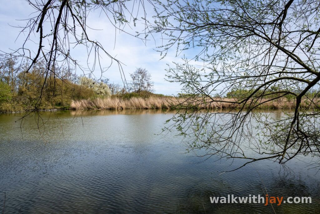
In the final part of the walk, you return to the Viconia clay pits. I added an extra loop through the nature area here, passing the birdwatching tower before rejoining the official route.
The former clay pits are now a wetland of reedbeds, grassland and open water with plenty of birdlife. After the open polders and the longer paved section beside the Yser, this part feels noticeably greener and quieter.
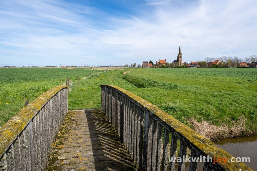
The route then continues through a sheep pasture, over a wooden bridge and along a grassy path beside Reigersvliet before returning to Stuivekenskerke. You finish in the same polder landscape where the walk began, but after almost ten kilometres it feels rather different.
Photos from this walk






Jay’s tips
Add the extra loop through the Viconia clay pits and walk to the observation tower. It adds some distance, but brings much more nature into the final part of the walk.
Good to know
Muddy after rain
Sturdy footwear recommended
Little shade
Viewpoint
Birdwatching hide or viewpoint
Military heritage
Cemetery
Historic village or historic centre
Nature observation point
There is very little shade across the open polders. After rain, the unpaved sections and especially the paths around the Viconia clay pits can become quite muddy.
My experience
What I like about this route is that nature and history never feel like separate parts of the walk. The Yser, Oud-Stuivekenskerke, Reigersvliet and the Viconia clay pits all belong to the same landscape and each tells a different part of its story. The longer paved stretch beside the Yser was the section I enjoyed least, especially because cyclists use it regularly as well. The extra loop through the clay pits more than made up for that and I would definitely include it again.
Waymarking
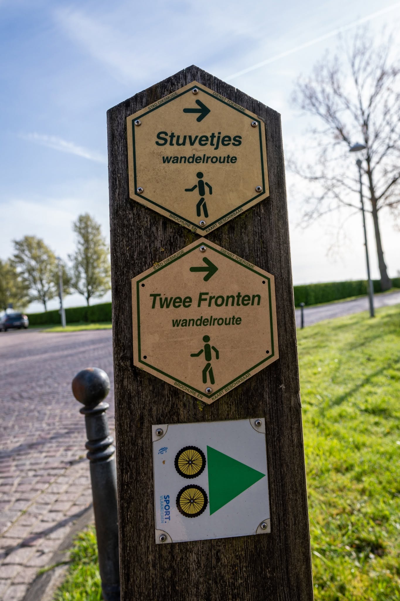
Stuvetjesroute
Food and drink
Places of interest
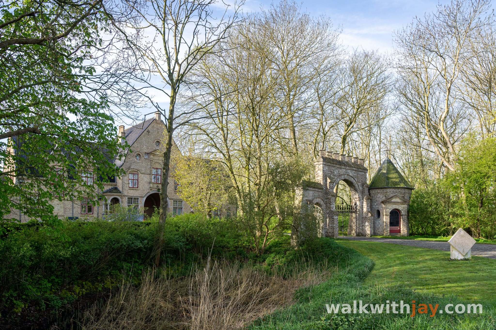
Kasteelhoeve Viconia
Along the route
Historic farm complex with medieval origins, closely linked to the history of Viconia and Stuivekenskerke.
Kasteelhoevestraat 2, 8600 Stuivekenskerke (Diksmuide), Belgium ↗
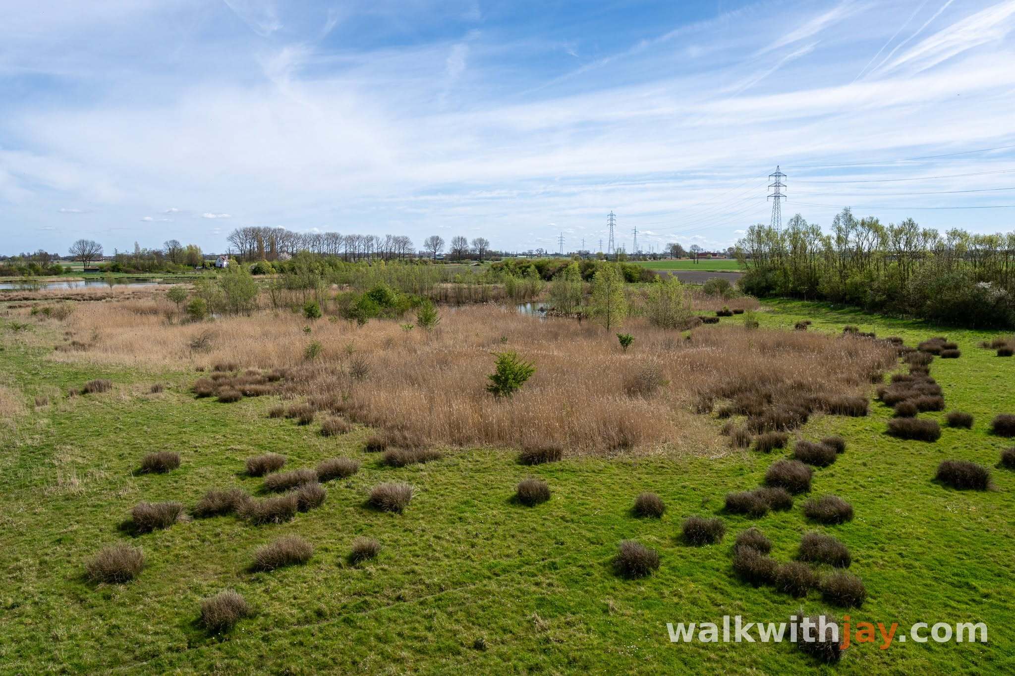
Viconia Kleiputten
Along the route
Bird-rich nature reserve in former clay pits, with ponds, reed beds, grassland and observation points.
Viconiastraat, 8600 Stuivekenskerke (Diksmuide), Belgium ↗
Website →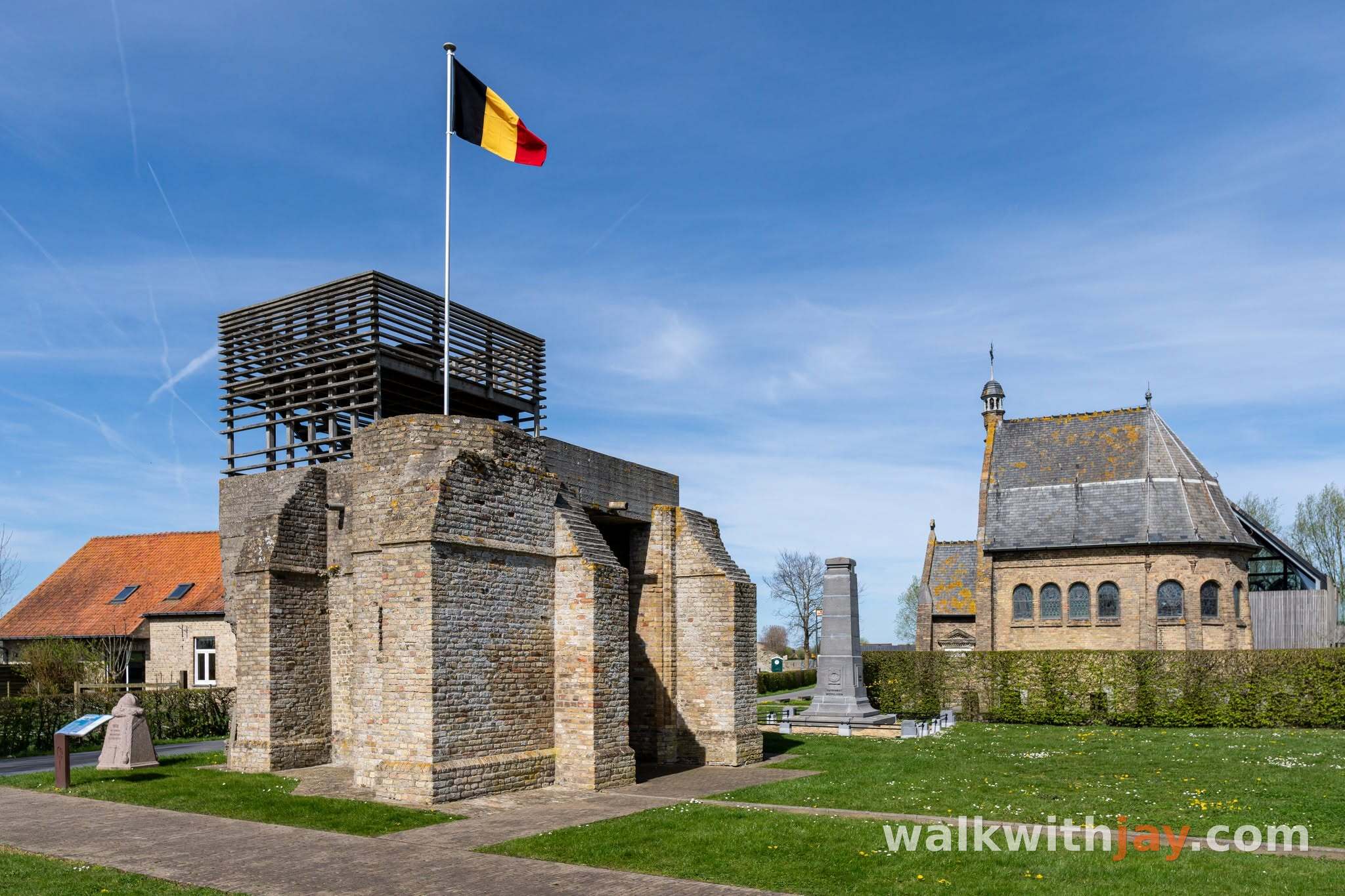
Onze-Lieve-Vrouwhoekje
Along the route
Historic memorial site at Oud-Stuivekenskerke, with a chapel and memorial stones connected with the First World War.
Oud-Stuivekenskerke, 8600 Stuivekenskerke (Diksmuide), Belgium ↗
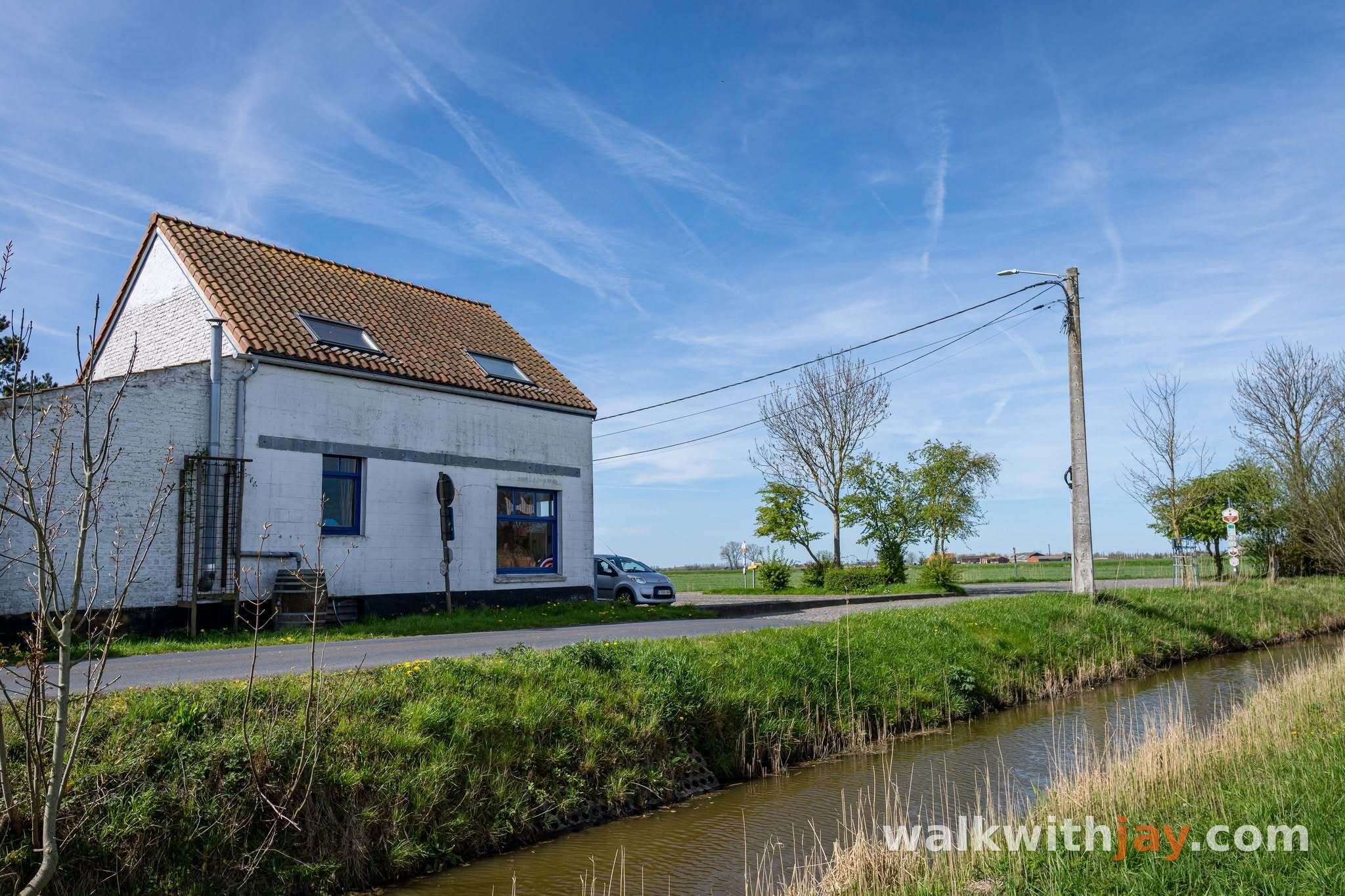
Reigersvliet
Along the route
Waterway and former front-line sector where the Battle of Reigersvliet was fought in March 1918.
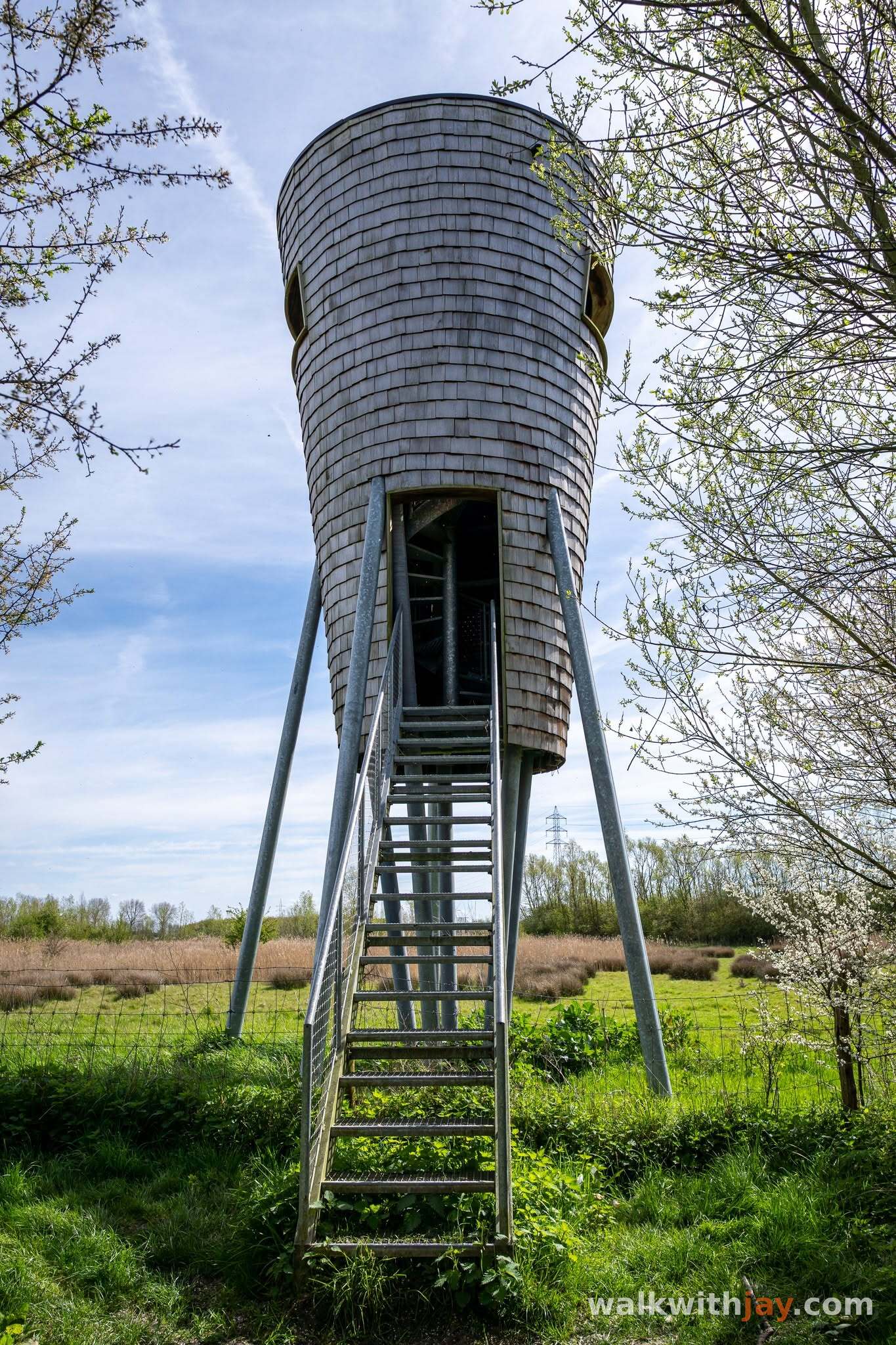
Uitkijktoren Viconia Kleiputten
Along the route
Viewing tower overlooking the ponds and surrounding polder landscape.
Viconia Kleiputten, Viconiastraat, 8600 Stuivekenskerke (Diksmuide), Belgium ↗
Website →Ready to set off?
Open the starting point in your GPS and enjoy the walk.